displaying 778 results
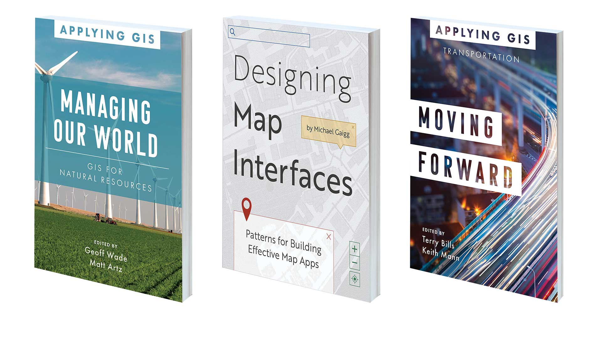
Book on using GIS to manage natural resources, optimize transportation, and design effective map apps

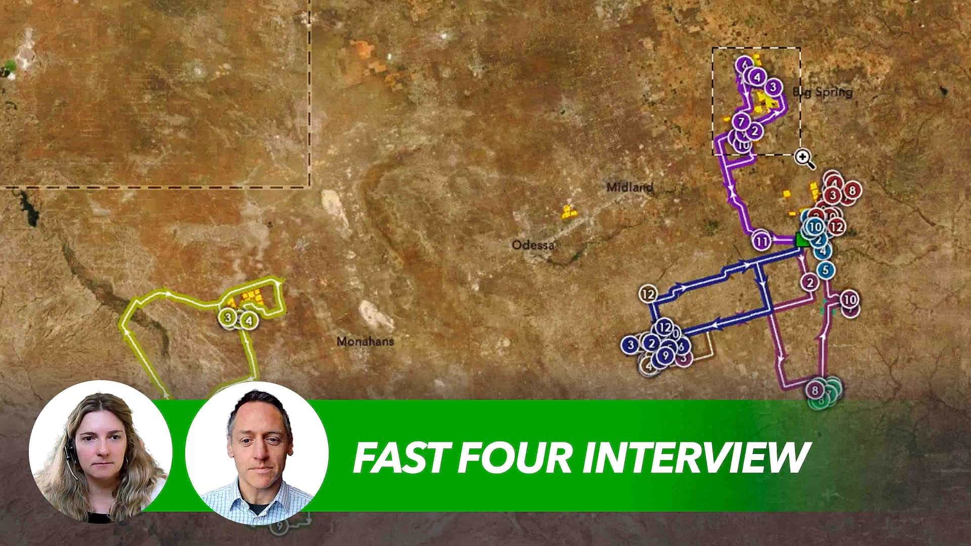
A university professor used a decrease in local bus ridership to show his strategic supply chain management class the value of GIS.
Fresh insights for logistics and transportation executives as profitability, consumer preferences, and sustainability goals shift

The City of Durham lost access to its servers and data, so GeoDecisions put in place processes to ensure that this would never happen again.

To better plan, build, operate, maintain its transportation infrastructure, the Bavarian State Building Administration uses Insights for ArcGIS.

The Geodesign Summit highlighted sustainable projects such as the multi-billion dollar Meridian Water housing and jobs development in London.
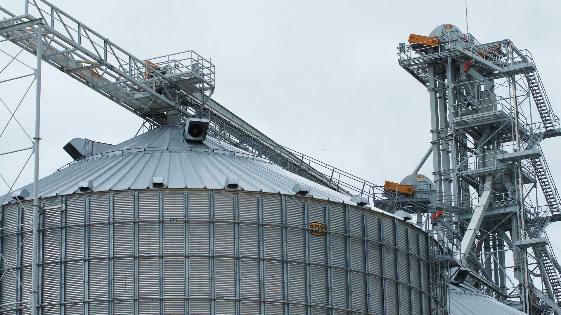
Geospatial technology helps the co-op provide members with insights into their businesses, trade areas, facility operations, and more.

The urgency and scope of Biden’s new pledge set the stage for companies to uncover opportunity.

The Washington, DC, Department of Transportation created an internal, map-based website on the ArcGIS platform to reinvigorate its workflows.
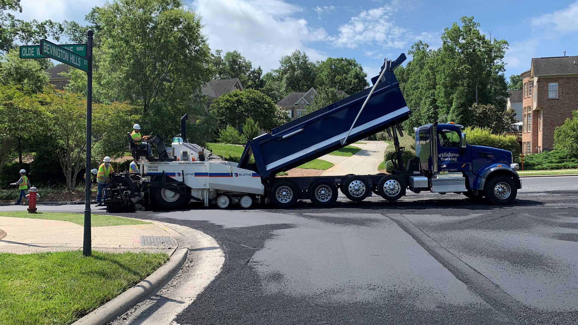
The Transportation Department for Cary, North Carolina, leverages GIS to analyze the data to maintain its streets.
Learn techniques for modeling time and distance travel on a multi-modal network using ArcGIS Network Analyst.

With ArcGIS Hub, the Nevada Department of Transportation has built a new, public-facing website to make its geospatial data accessible for all.