displaying 997 results
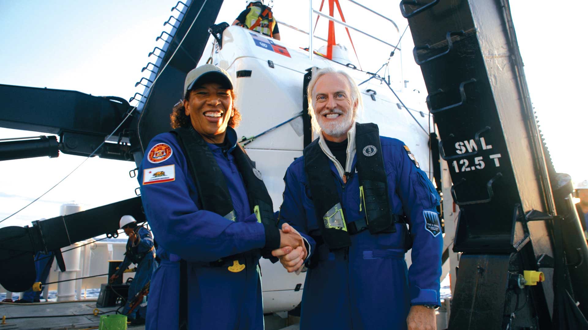
Explorer Victor Vescovo and Esri chief scientist Dawn Wright made an historic trip to to the deepest known point in the Earth’s ocean.

Dawn Wright names to Academy of Sciences; Blacksky satellites can be tasked from ArcGIS Online; American Community Survey data
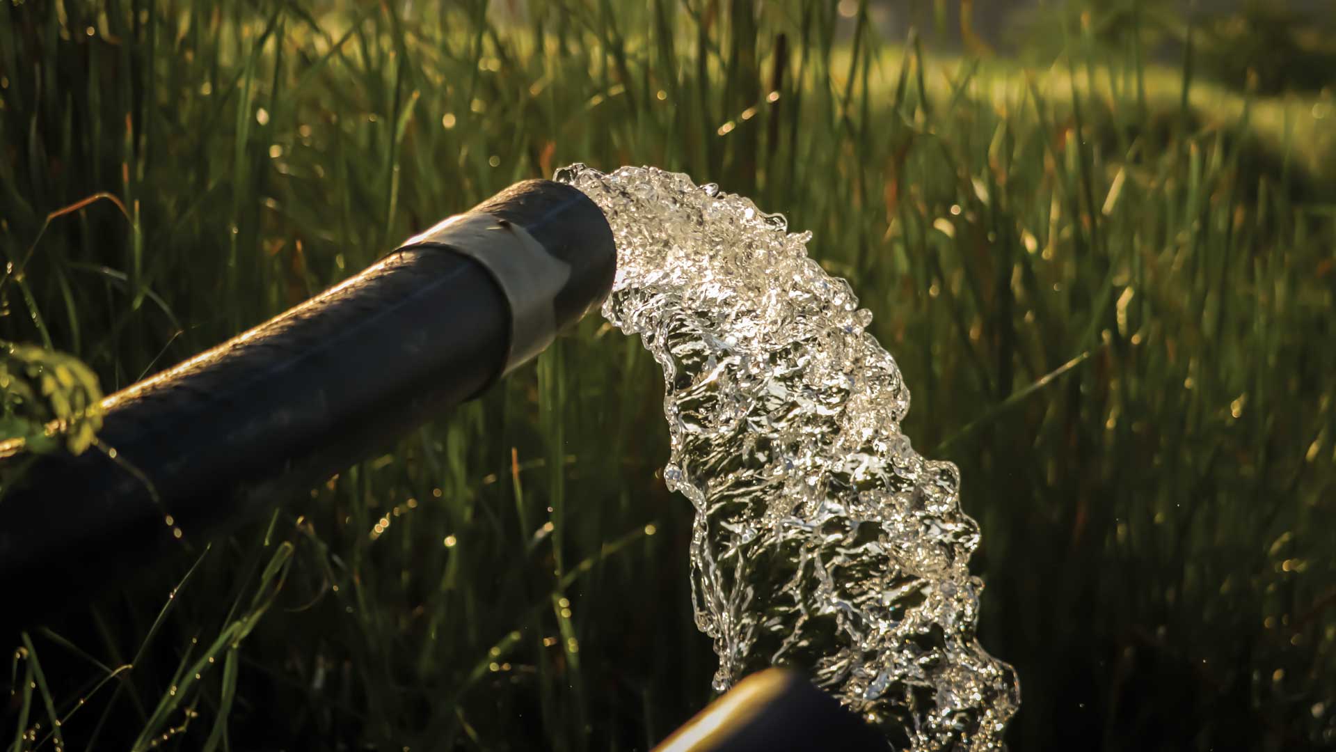
An enterprising group of young computer coders in India a low-cost system that can help ensure the safety of water in rural areas.

Loss of biodiversity is the other great and interrelated challenge of our era that is often overlooked.
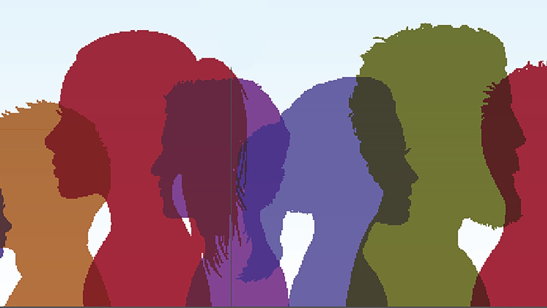
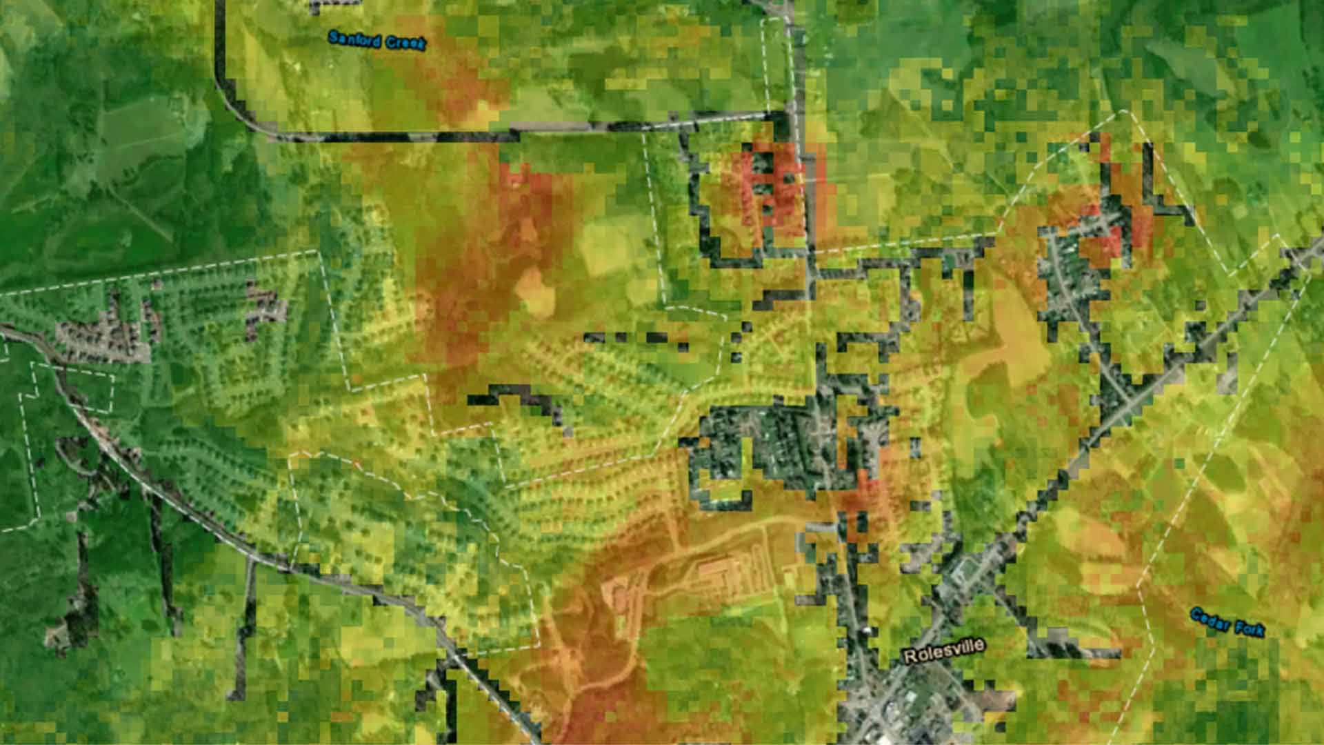
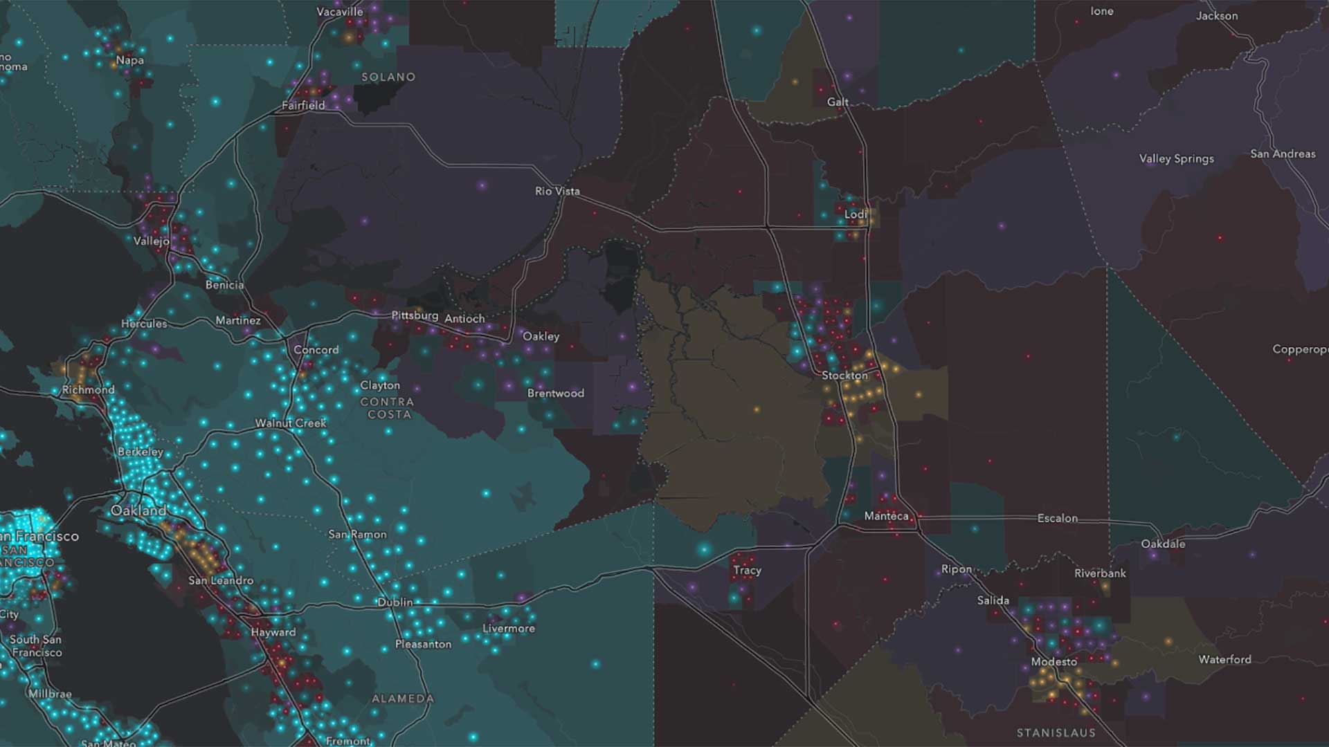
The Social Equity Analysis solution delivers capabilities that help state and local governments understand and analyze community characteristics.
GIS—Creating a Sustainable Future, the the 2021 Esri User Conference theme, emphasizes using GIS to balance environmental, economic, and society.
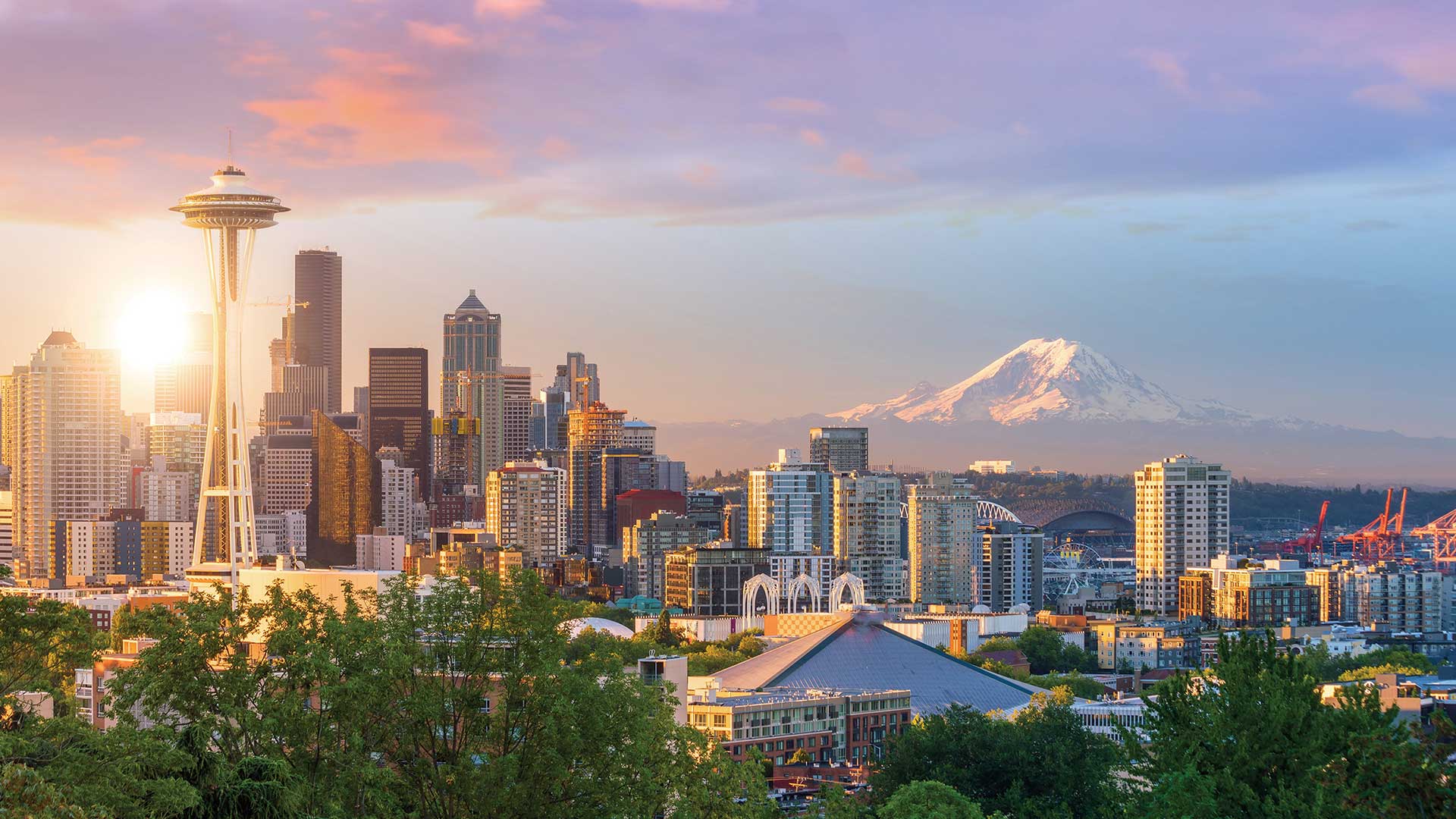
Leaders in King County, Washington, have emerged as innovators in the fight for equity and social justice (ESJ) in local government.

Roxana Ayala was introduced to GIS in high school and it has changed her life.
The world has run up against the hard truth that the world is a very interconnected place. Table of contents for this issue.
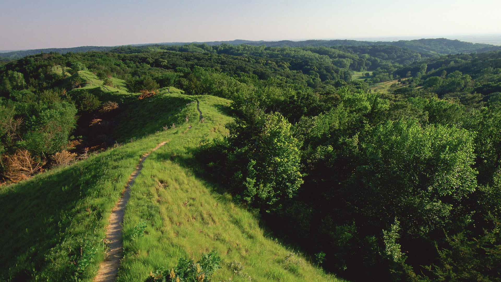
The Resilient and Connected Network, an ambitious GIS mapping tool developed by The Nature Conservancy helps conservationists save biodiversity.
You have data, but that’s not enough to make a map. You also need a purpose.
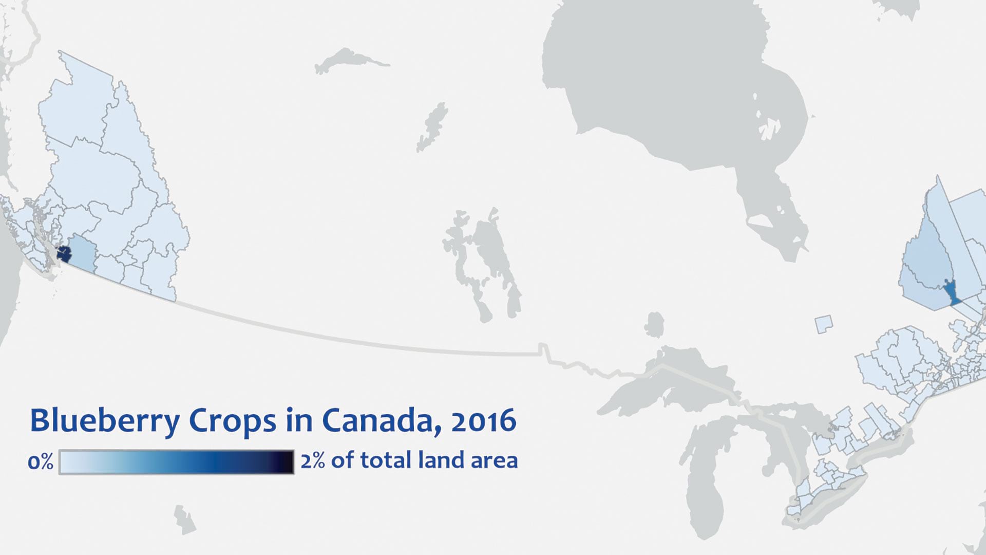
Using online layers from ArcGIS Living Atlas of the World lets anyone explore maps with no download required.