displaying 411 results
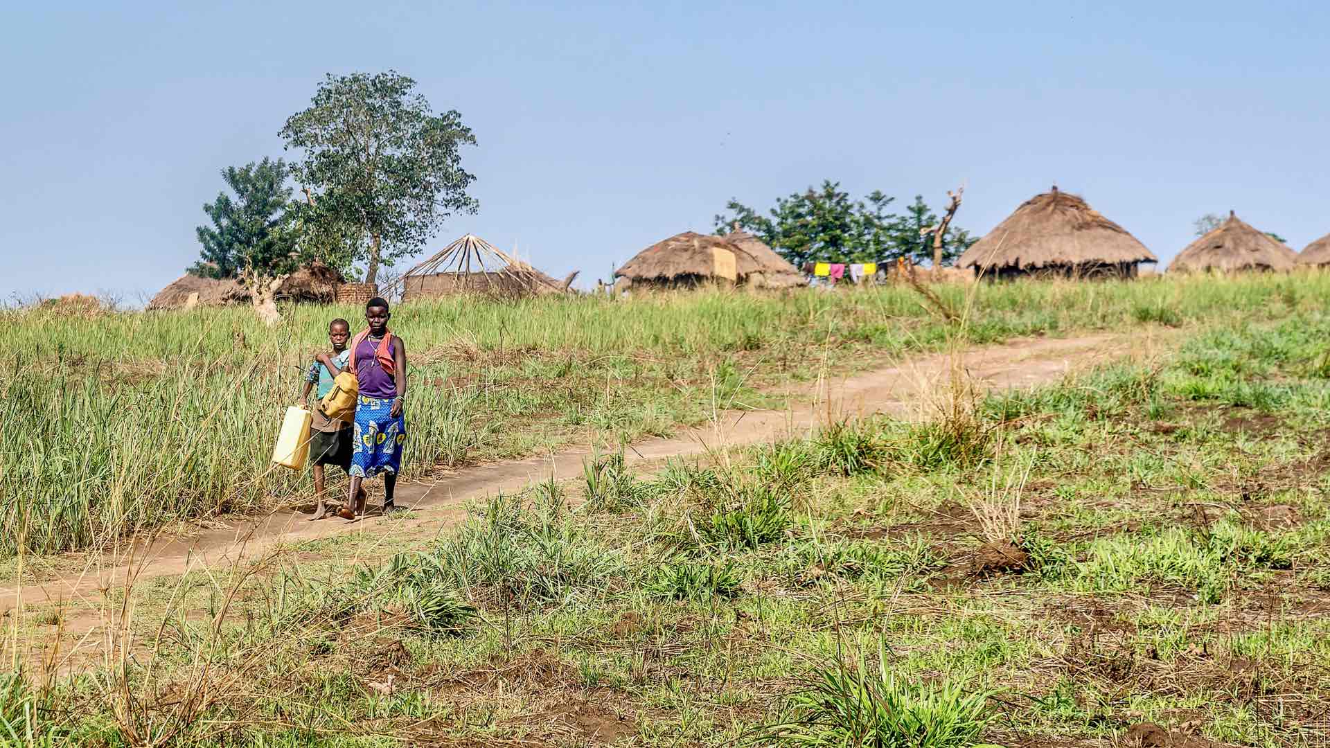
Global Water Challenge created apps to help governments and NGOs prioritize water projects based on the number of people impacted.
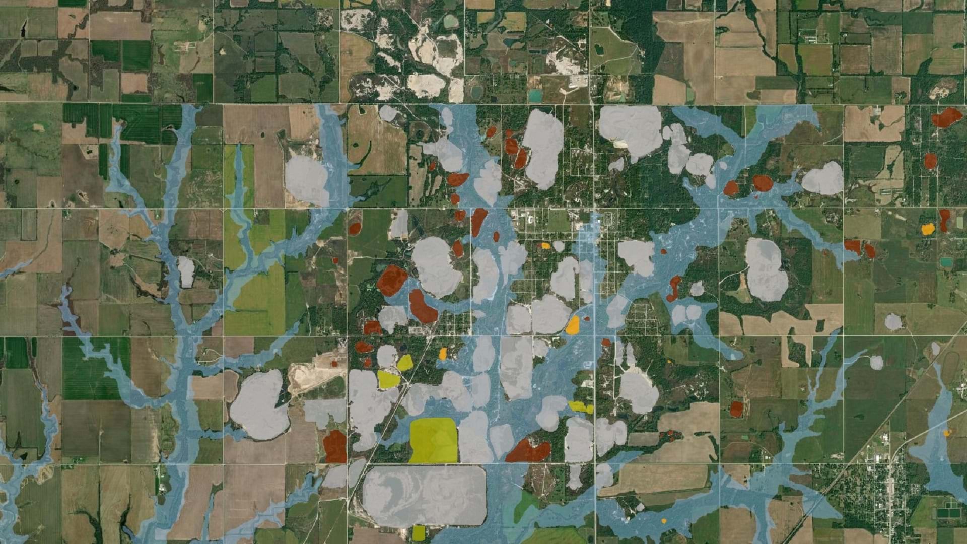
The Tar Creek Superfund site created one of the most toxic floodplains in the US. LEAD Agency is using GIS to advocate for environmental justice.

URISA supports climate resilience and addressing climate change impacts through geospatial solutions, workshops, and resources.
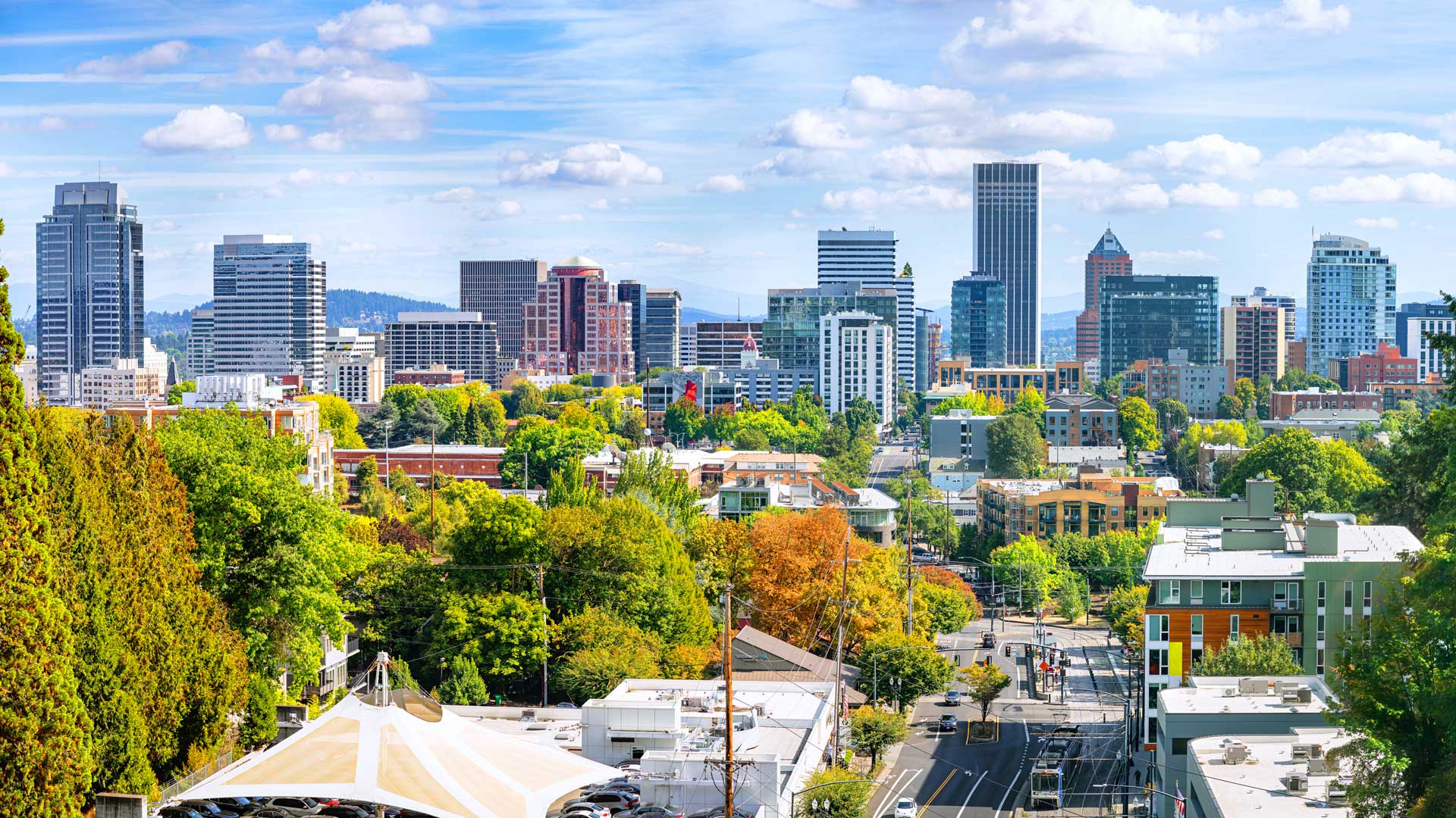
A pioneer in GIS, Metro—the area’s metropolitan planning organization—is using ArcGIS Hub to democratize access to authoritative data.
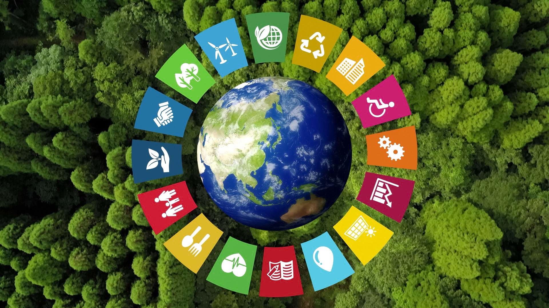
The SDG Data Alliance is working to help countries and organizations around the world achieve sustainable development goals with SDG Data Hubs.

A collaboration in the Netherlands aims to give people with limited vision access to tactile maps to help them gain situational awareness.
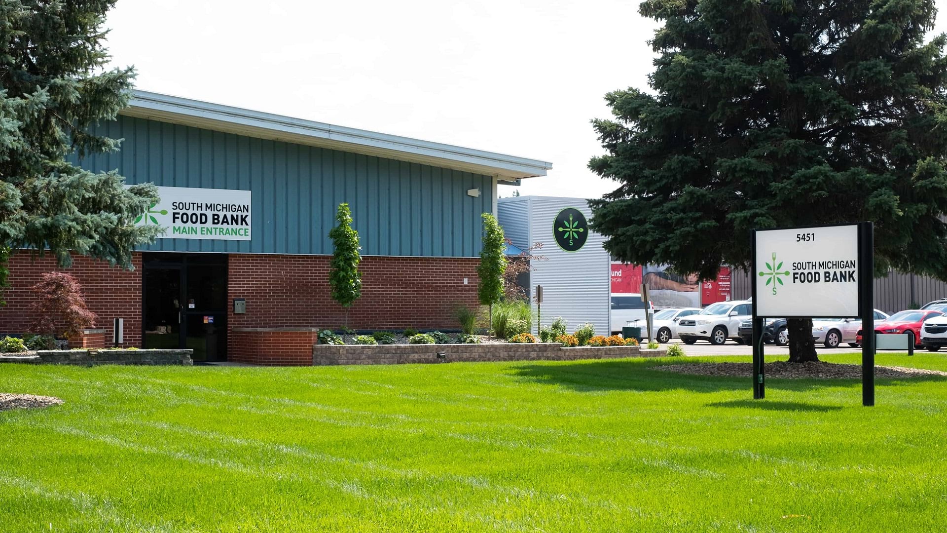
A collaboration between the South Michigan Food Bank and Coastal Carolina University has spurred a food distribution strategy driven by data.
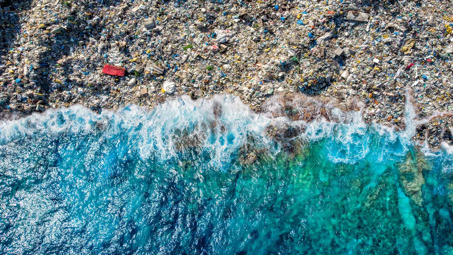
The GIS user community is key to figuring out which beaches around the world are consistently fouled by plastic and how to clean them up.

The Esri Science Symposium at the Esri User Conference is a unique event that showcases how science and geospatial technology intersect.
To understand changing climate conditions, people need access to sound data, tools, and workflows. This will require a geographic approach.
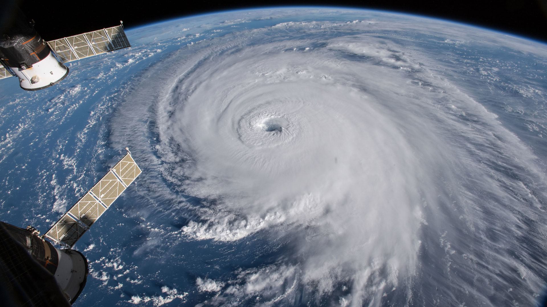
Group on Earth Observations (GEO), Esri, and many other organizations and nations work together to reduce disaster risks worldwide.

New books from Esri include GIS Tutorial for ArcGIS Pro 2.8 and GIS for Science, Volume 3: Maps for Saving the Planet.