displaying 1360 results
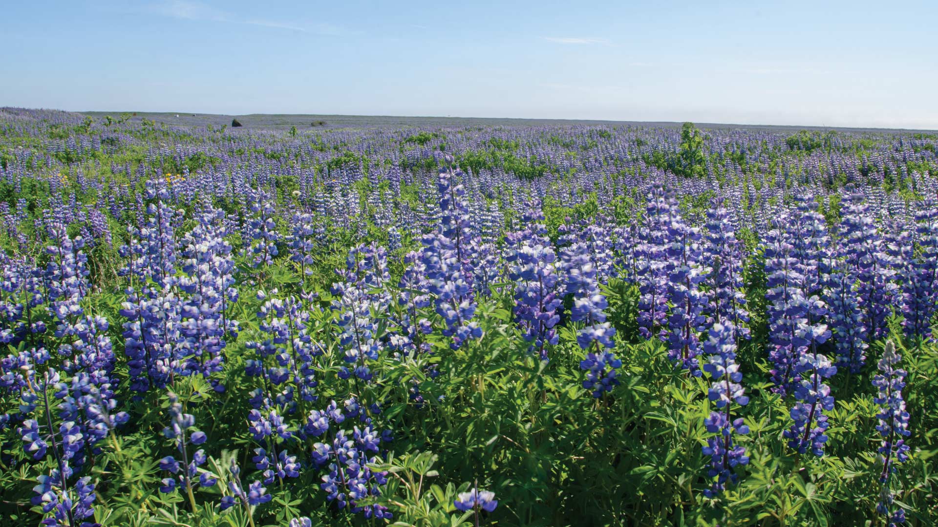
Discover how ArcGIS Field Maps helped improve butterfly conservation efforts in Yamhill County, Oregon.
Share your ArcGIS Survey123 results with others by exporting your data to a Word or PDF format report.
Esri Maps for Office is a new analysis tool from ArcGIS Online that allows business professionals to visualize data by creating and sharing inte…

Presenters at the 2023 Esri User Conference inspired the Plenary audience by demonstrating how they are using GIS to create a better future.
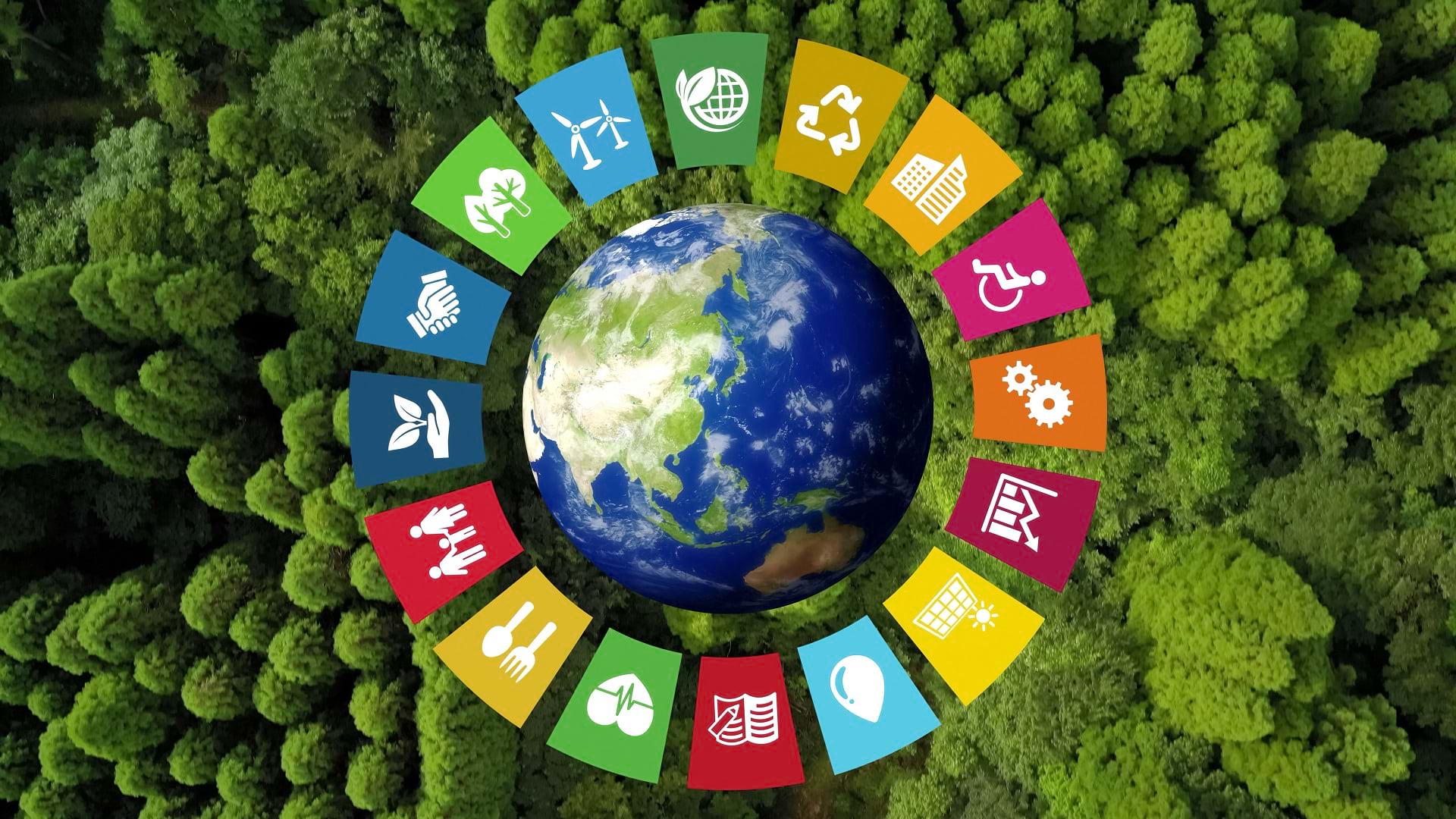
The SDG Data Alliance is working to help countries and organizations around the world achieve sustainable development goals with SDG Data Hubs.
UMass Global’s Institute for Geospatial Education meets students where they are and breaks the learning process down into familiar steps.
Report designer is a report building framework in ArcGIS Insights which allows users to create PDFs and interactive reports.

Check out Esri's SDG Geospatial Learning Lab, an ArcGIS Hub site dedicated to helping GIS users tackle the UN's Sustainable Development Goals.

Business schools must adapt their curricula to show students how to leverage the latest location technology for the greater good of society.
Christiane Schmullius uses radar remote sensing to explore land surface changes around the world. She also teaches the technology to others.

Do you want to learn how to design better map interfaces or use GIS for natural resources? If so, check out these new books from Esri Press.
For more than 60 years, the United States had two definitions of the foot to measure length. That’s not the case anymore.