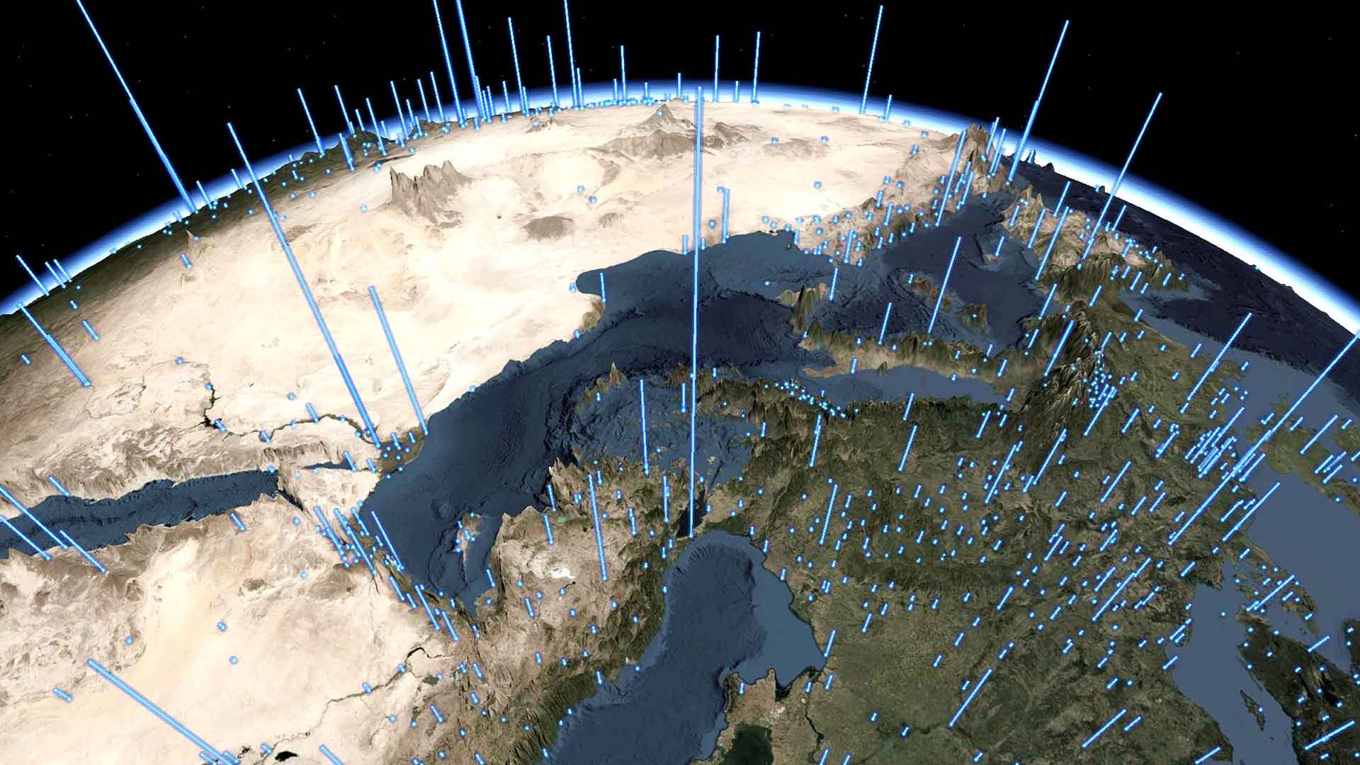
displaying 884 results

Measuring the time it takes to travel from one place to another has little bearing on determining how livable an area is. Instead, what really...
A blueprint for resilience and reduction, two essential practices for executives overseeing the long-term health of their business

With artificial intelligence, automation, cloud-based architecture, and analytics, an insurance company executes an ambitious growth plan.

Carhartt rises to the challenge of omnichannel retail during a period of industry disruption exacerbated by a global pandemic.

The police department in St. Petersburg, Florida, has modernized and improved its policing methods using the ArcGIS platform.

More than 100 high school students in Western Australia participated in HackED, a first-of-its-kind junior app development hackathon where they..

At the 2015 Esri Developer Summit, Jack Dangermond said he wants developers to be Esri’s colleagues in advancing geosolutions.
Planners and community developers are using 3D GIS and other geodesign technologies to evaluate planning proposals.

The March update for ArcGIS Online included new options for creating 3D web apps, improvements to smart mapping, and upgrades.

The shipping industry commits to reducing its greenhouse emissions—what happens next?

San Bernardino County uses spatial analytics and smart maps to better understand the public health needs of communities it serves.
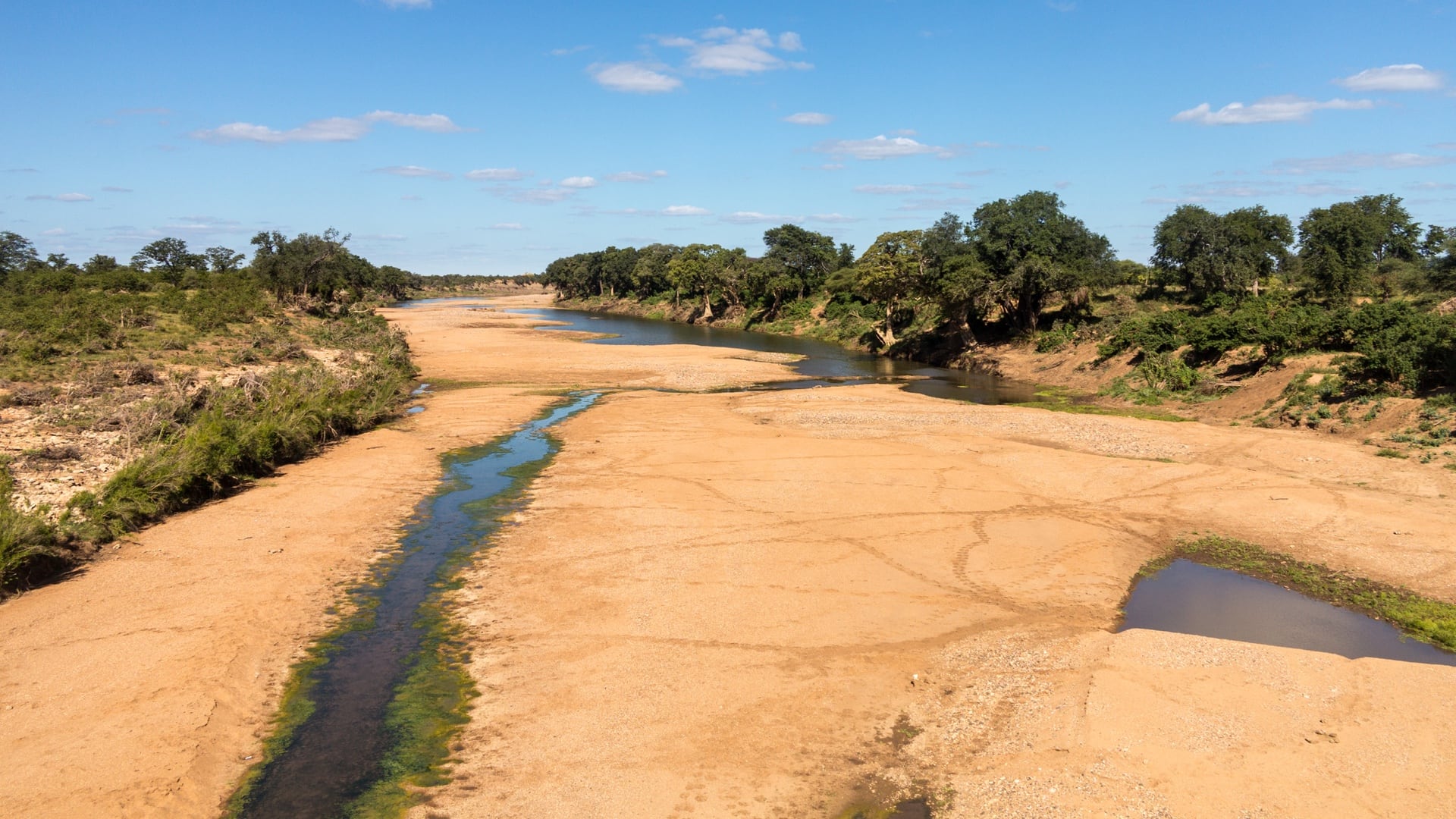
Conservationists in the Kruger to Canyons Biosphere Region collaborate with GIS to safeguard water sources.