Matt Ball from Esri explains why drones are becoming an essential tool for local governments and businesses. Esri’s Karen Sullivan hosts.
If you liked this episode, please share it with a colleague.
July 2, 2025
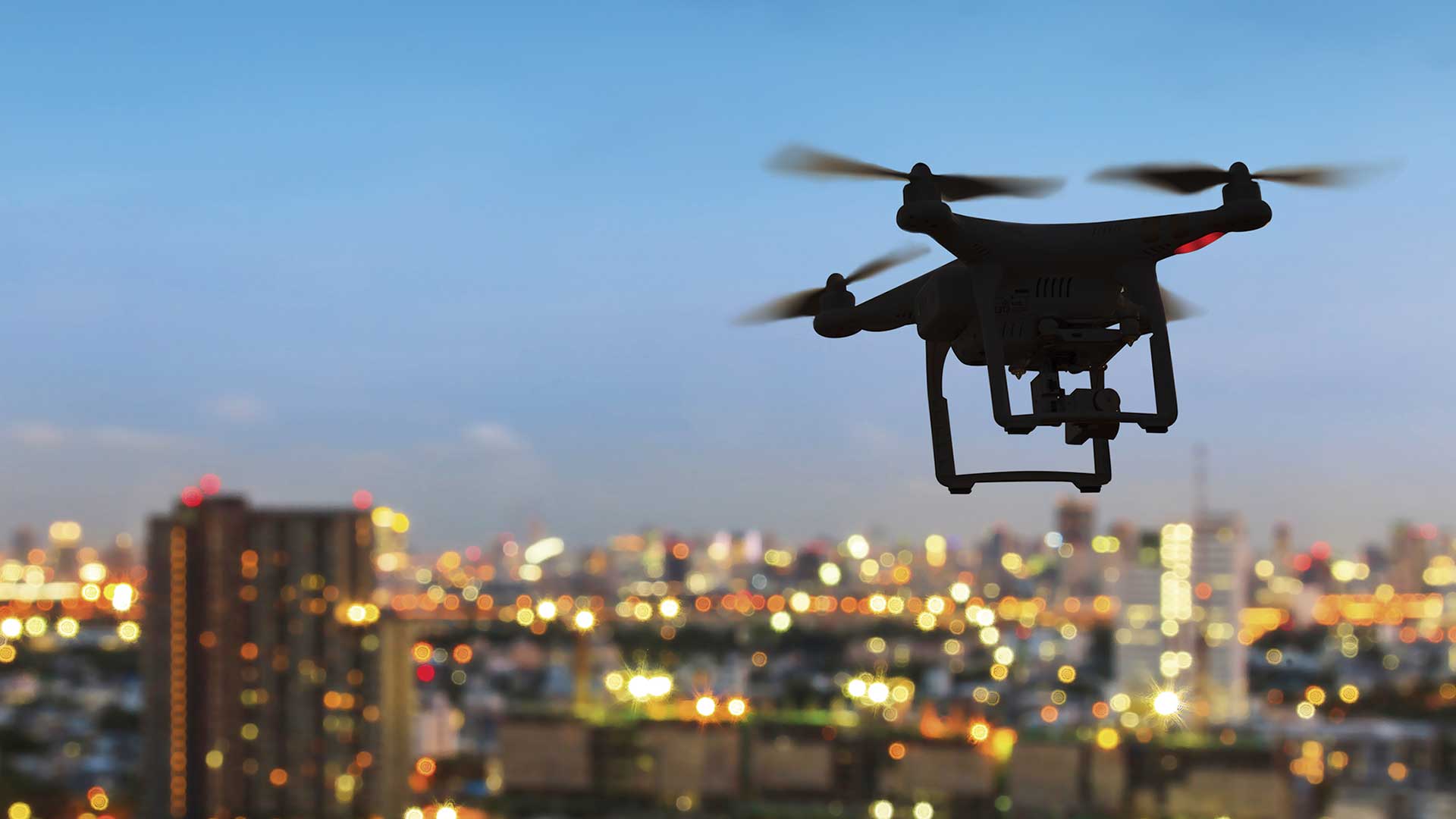
Matt Ball from Esri explains why drones are becoming an essential tool for local governments and businesses. Esri’s Karen Sullivan hosts.
If you liked this episode, please share it with a colleague.

Listen to and subscribe on