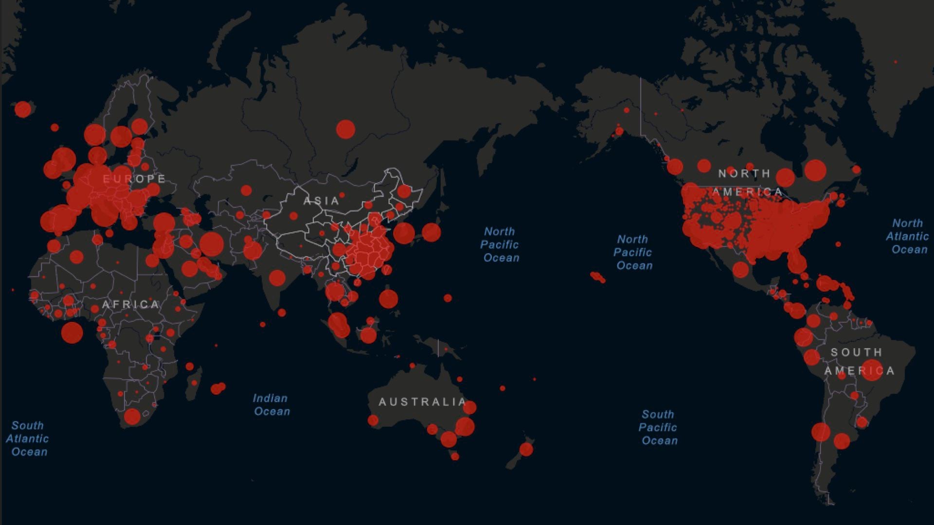
Andy Dent, Program Director at Centers for Disease Control and Prevention, Agency for Toxic Substances and Disease Registry, explains the role location intelligence plays in CDC’s response to public health emergencies and disease outbreaks such as COVID-19. Esri Chief Medical Officer and Health Solutions Director Este Geraghty investigates how the largest public health agency in the United States uses geospatial technology to combat the most threatening challenges to community health.
If you liked this episode, please take a moment to rate Esri & The Science of Where podcast on Apple Podcasts or wherever you listen to podcasts.
To learn more about how location intelligence enables digital transformation and drives growth visit esri.com/locationintelligence.


