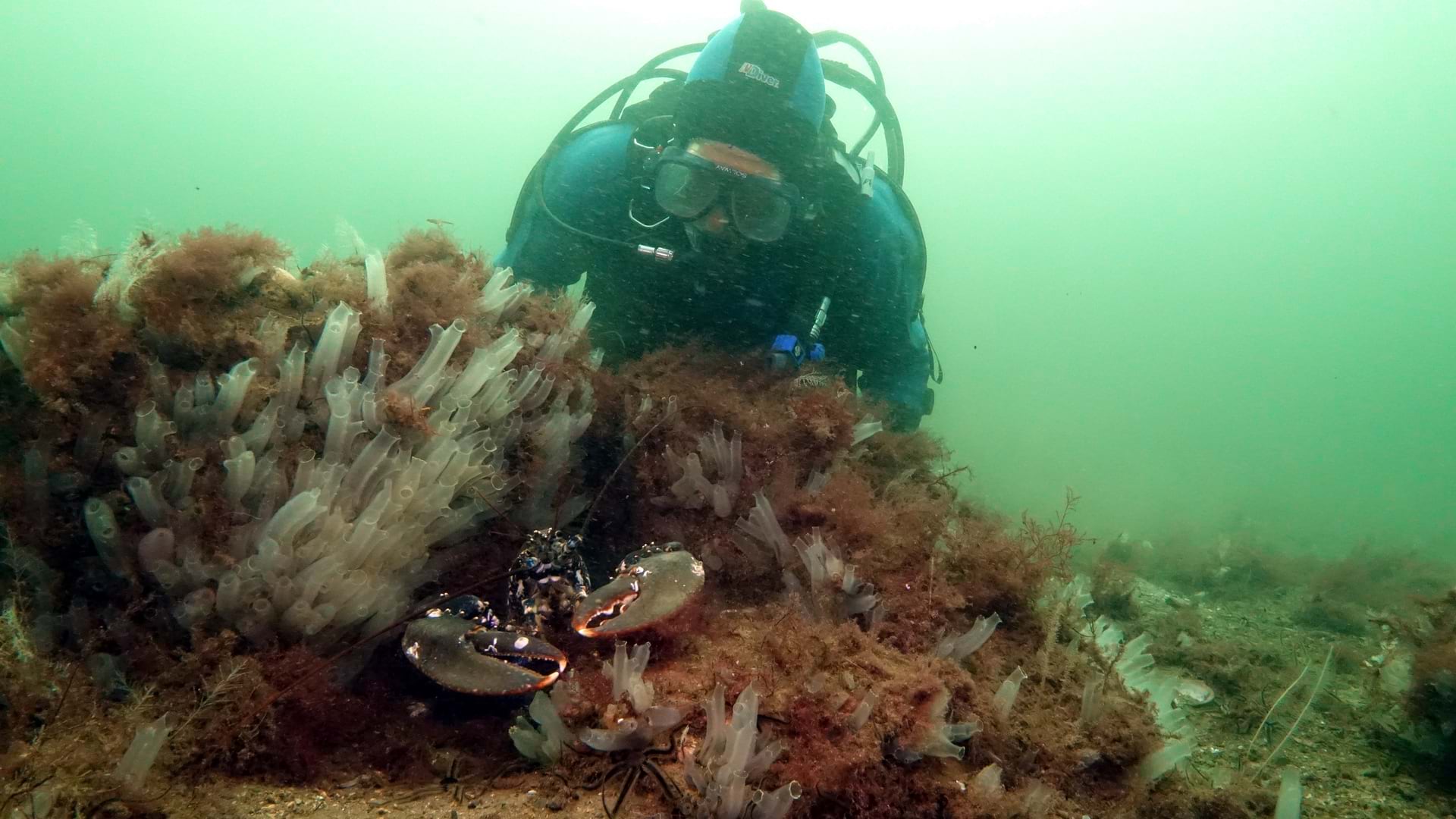
Howard Wood, co-founder of COAST, the Community of Arran Seabed Trust project, explains how geospatial technology is being used to restore fisheries off the Isle of Arran in Scotland. Esri’s Karen Sullivan hosts.
If you liked this episode, please share it with a colleague.