displaying 92 results

3D GIS workflows and models have created a digital twin to help guide development of port facilities in Vietnam.

Launched in November 2023, ArcGIS Enterprise 11.2 includes a variety of new and improved analysis and data management tools.
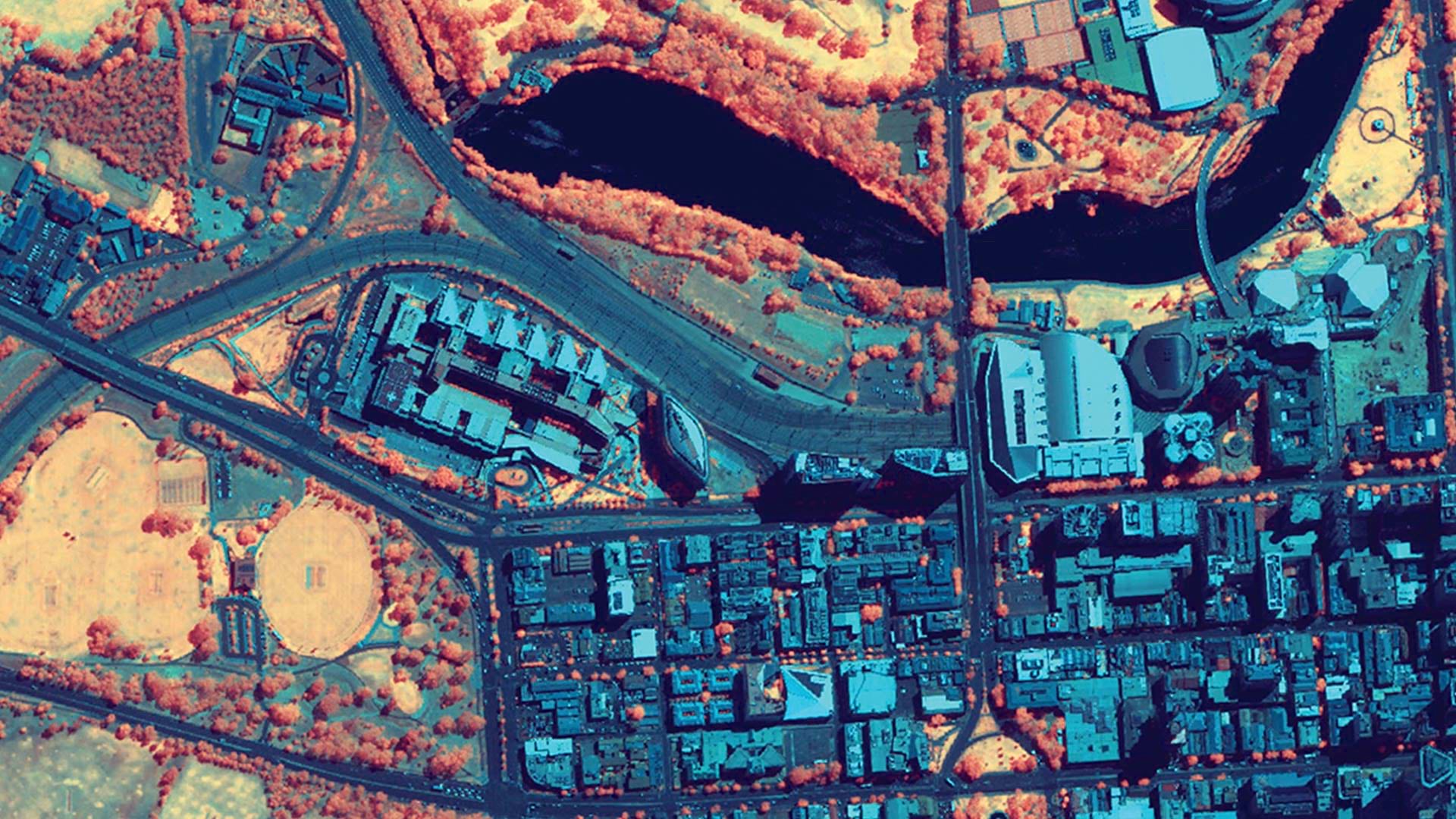
ArcGIS Image provides flexible data management, extensive sensor support, imagery processing and analysis capabilities, and secure sharing.

For a team of archaeologists, GIS offers an effective way to collect data and quickly disseminate project findings in compelling formats.
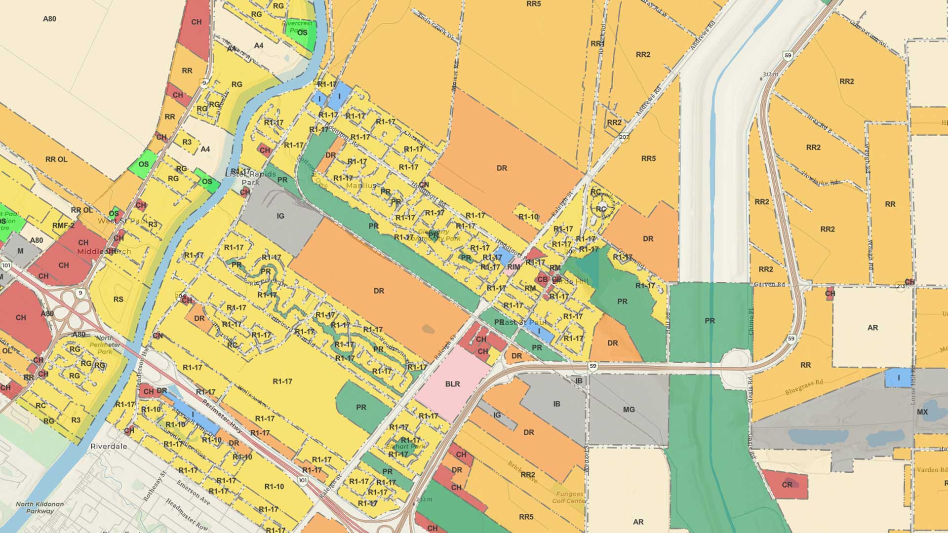
As the need for zoning reform becomes more pressing, GIS is critical to its implementation.

In addition to reducing errors and mitigating risk, the workflow allows for the complete interoperability of BIM and GIS data.

Erie Water Works saves hundreds of thousands of dollars with its GIS-based implementation.

Airflow Analyst uses 3D urban models and meteorological data to predict ventilation in places like stadiums and public transit stations.
Discover the role of GIS, geodesign, and digital twins in making cities smarter in the future.

ArcGIS Pro 2.7 supports device location, mobile geodatabases, layer and feature blending, and other enhancements.

ArcGIS Maps SDK for Unity and ArcGIS Maps SDK for Unreal Engine enable direct access to ArcGIS data and operations within a game engine.

West Chester University uses a range of Esri technology to teach students about GIS and has introduced a new course on designing smart cities.