displaying 9 results

California’s Napa County helps prevent the spread of exotic pests in commercial agriculture by using ArcGIS Field Maps.
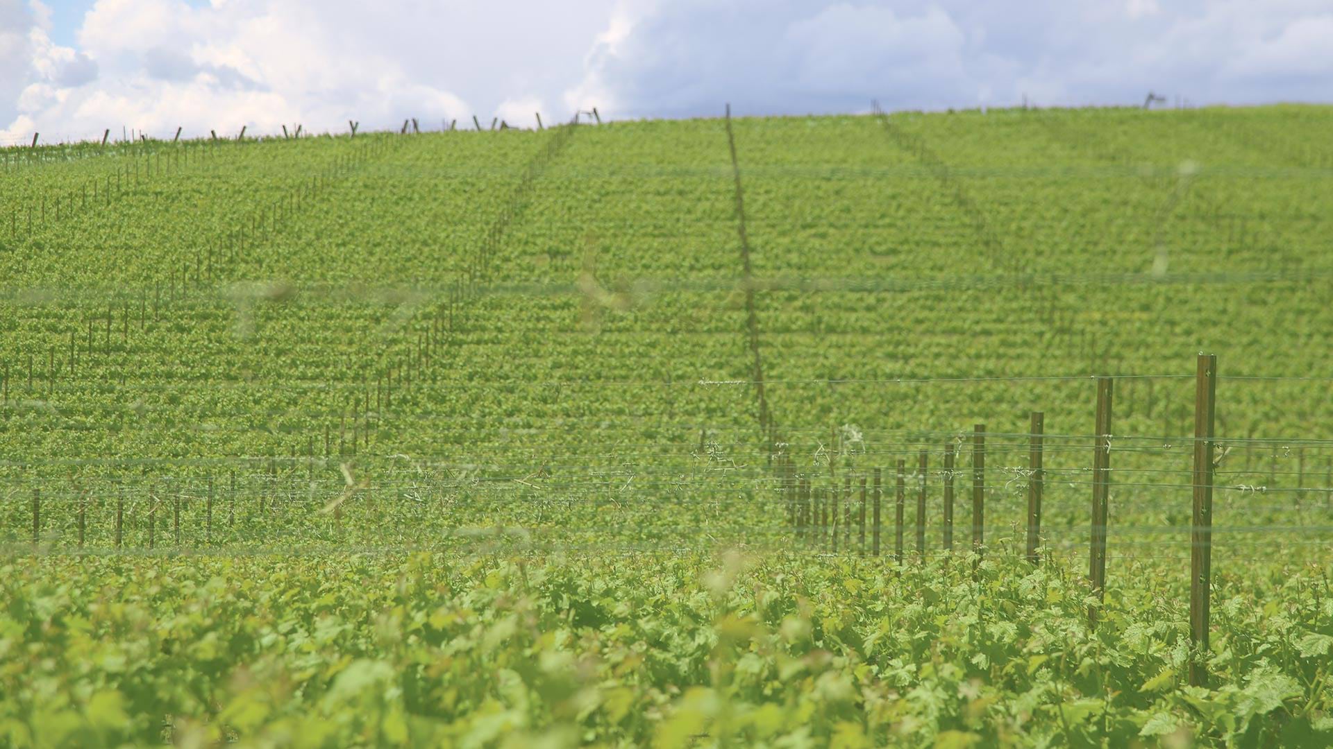
By using aerial imagery, staff at Shaw Vineyards can now identify and fix irrigation leaks quickly, resulting in a more uniform vine canopy.
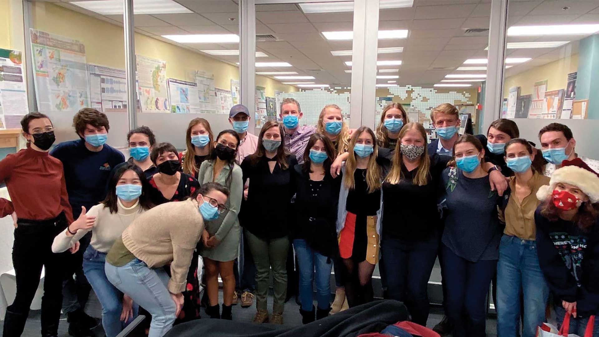
The Master of Science in Conservation Medicine (MCM) program from the Cummings School of Veterinary Medicine has a required GIS course.
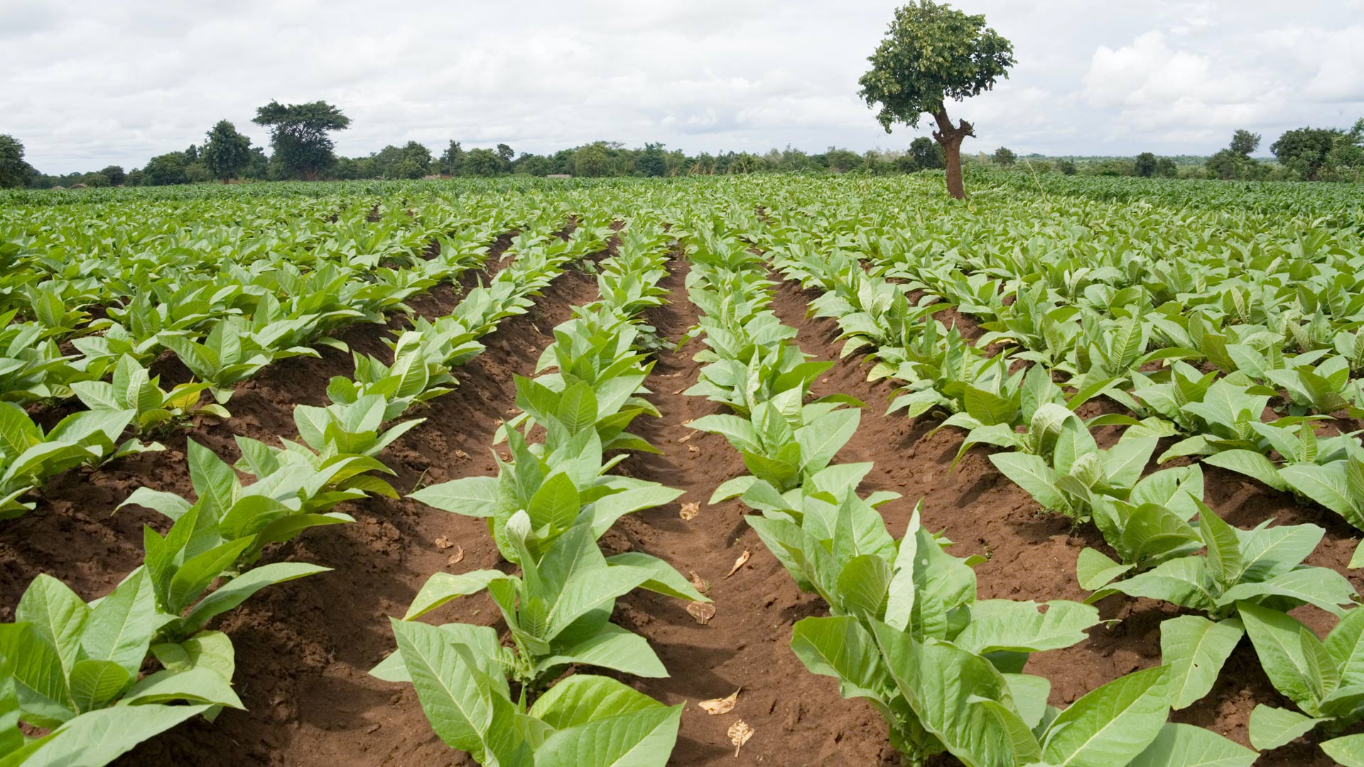
In Malawi, NASA Harvest used ArcGIS Survey123 to collect ground truth data on small farms. The results will help bolster food security.
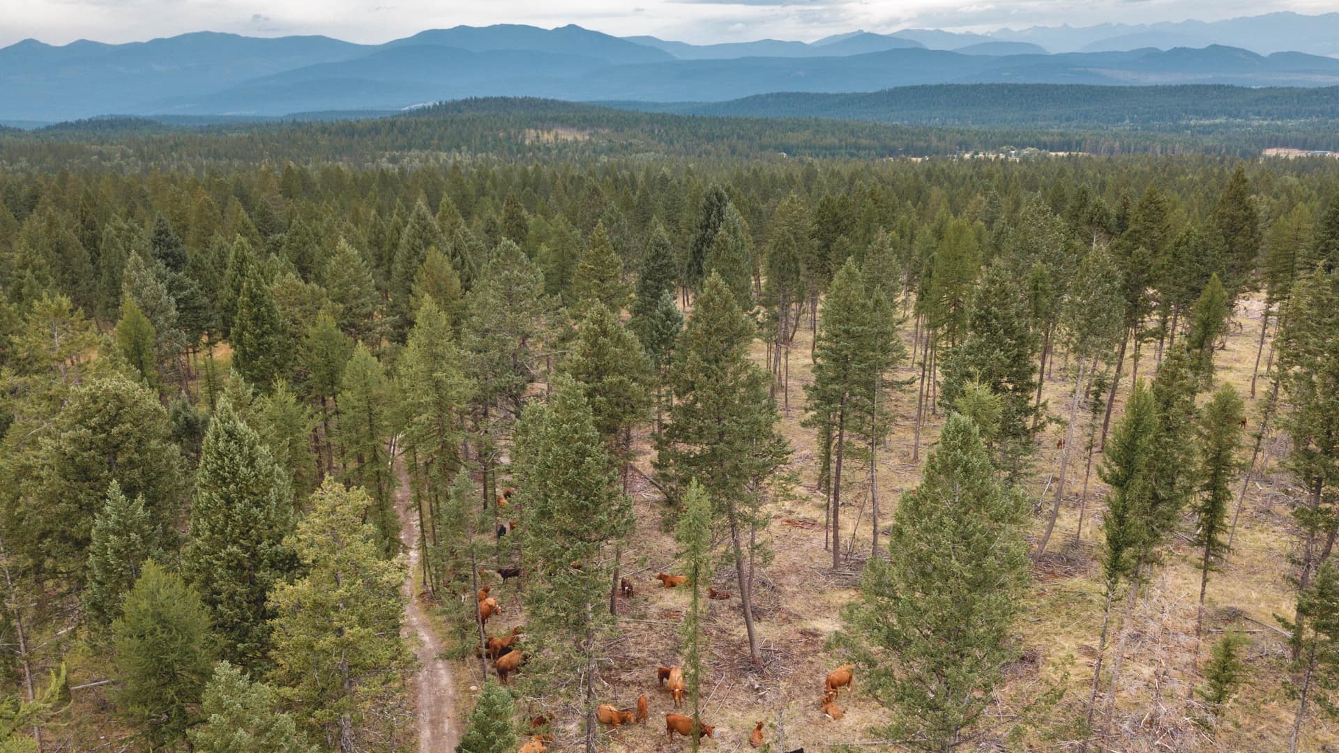
Land managers in British Columbia teamed with cattle ranchers to prove balanced grazing was good for both cows and the forest.

A comprehensive ArcGIS Enterprise solution now underpins all the cultivation and wine-making processes at Symington Family Estates.
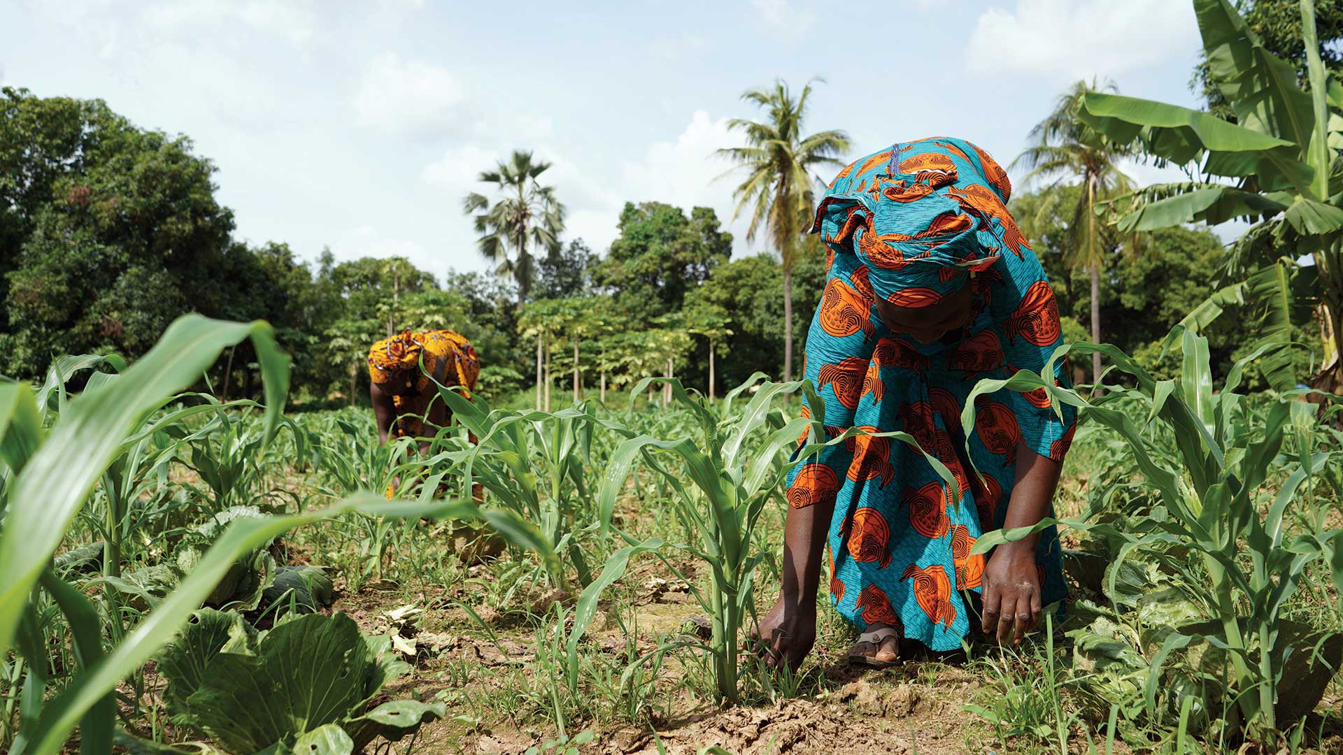
Ensuring women have the right to own land could lift millions of people out of hunger and reduce rural poverty,
What if the real cost of food were nearly three times what you pay? It’s worth considering who settles that bill.
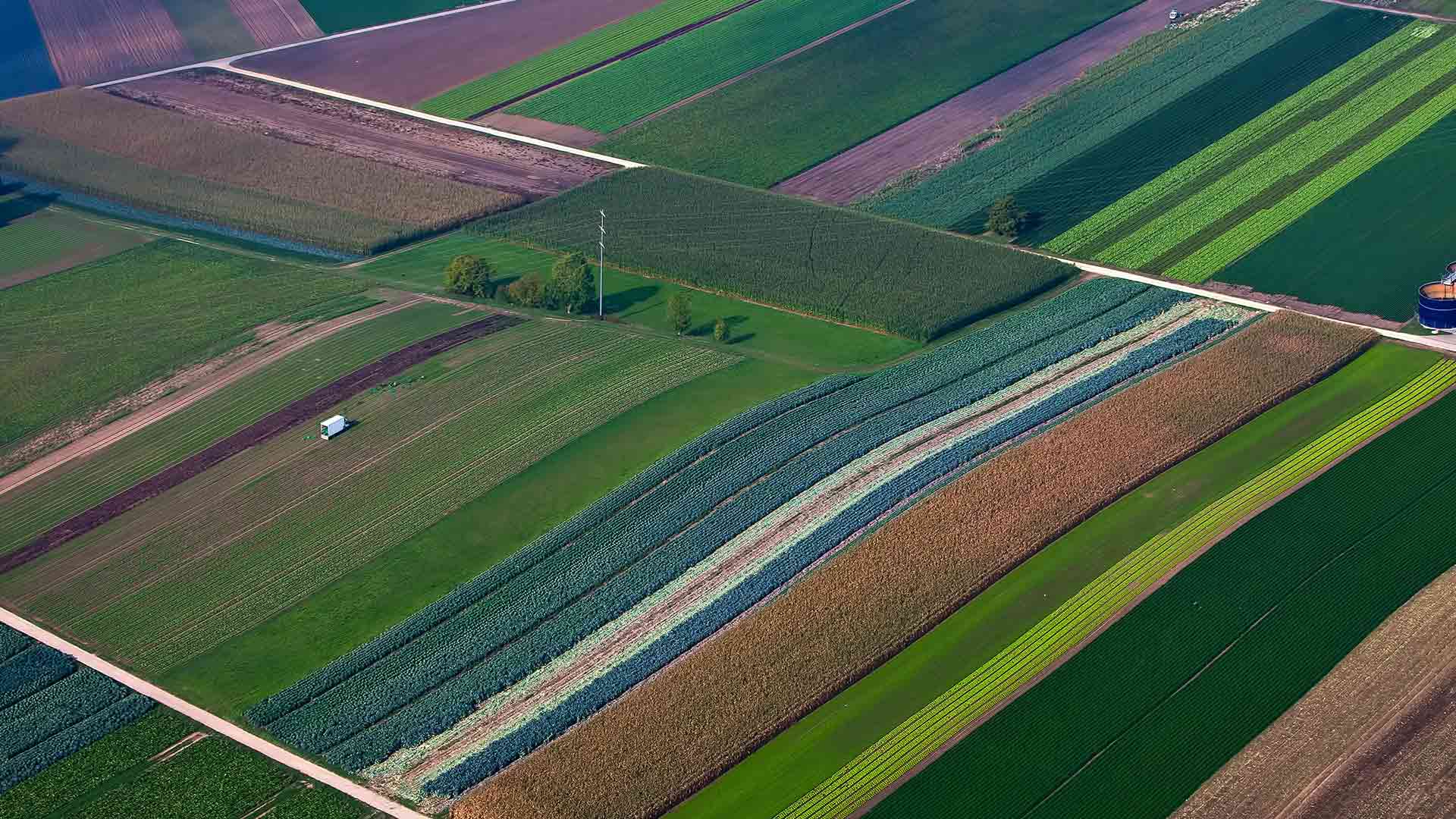
Explore the potential of soils with and without irrigation using two new image layers in ArcGIS Living Atlas of the World.