displaying 88 results
Endangered species in a South Africa province are protected with the help of ArcGIS Survey123 and ArcGIS Field Maps.
Mauro Laurenco, research scientist for the Wild Bird Trust, explains how peatlands hold promise in countering the effects of climate change.
Professor Matt Ritter presents on the vitality of tree networks in fighting the effects of climate change.
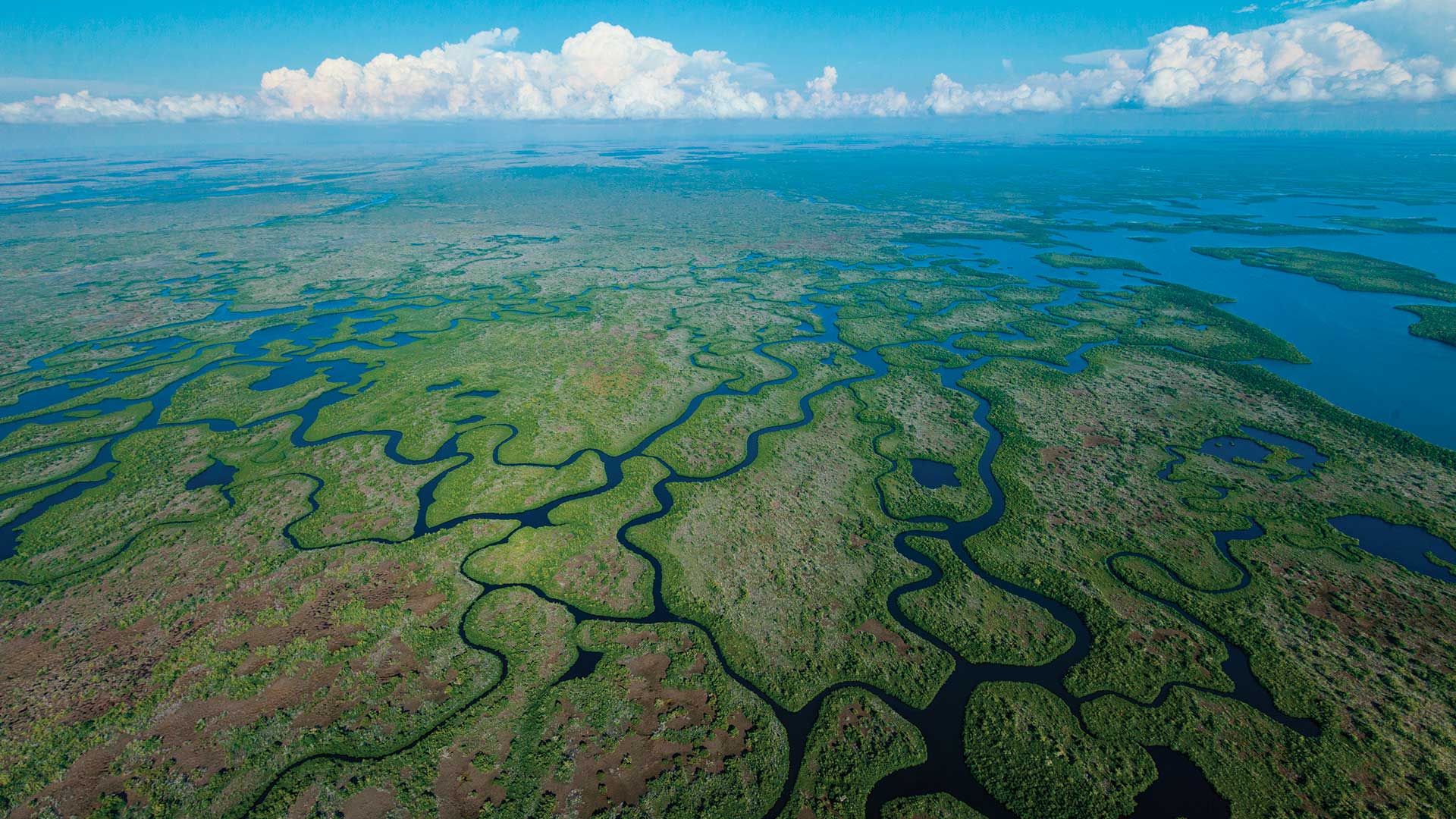
Steve Boyes, founder of the National Geographic Okavango Wilderness Project, discusses the effort to preserve Botswana's Okavango Basin.

Alachua County, Florida, uses GIS to manage its Irrigation Restriction Program.
Discover how ArcGIS Field Maps helped improve butterfly conservation efforts in Yamhill County, Oregon.

Arctic ecologist Dr. Susan Natali discusses the effect of permafrost thaw and wildfires on northern ecosystems, and the global climate.
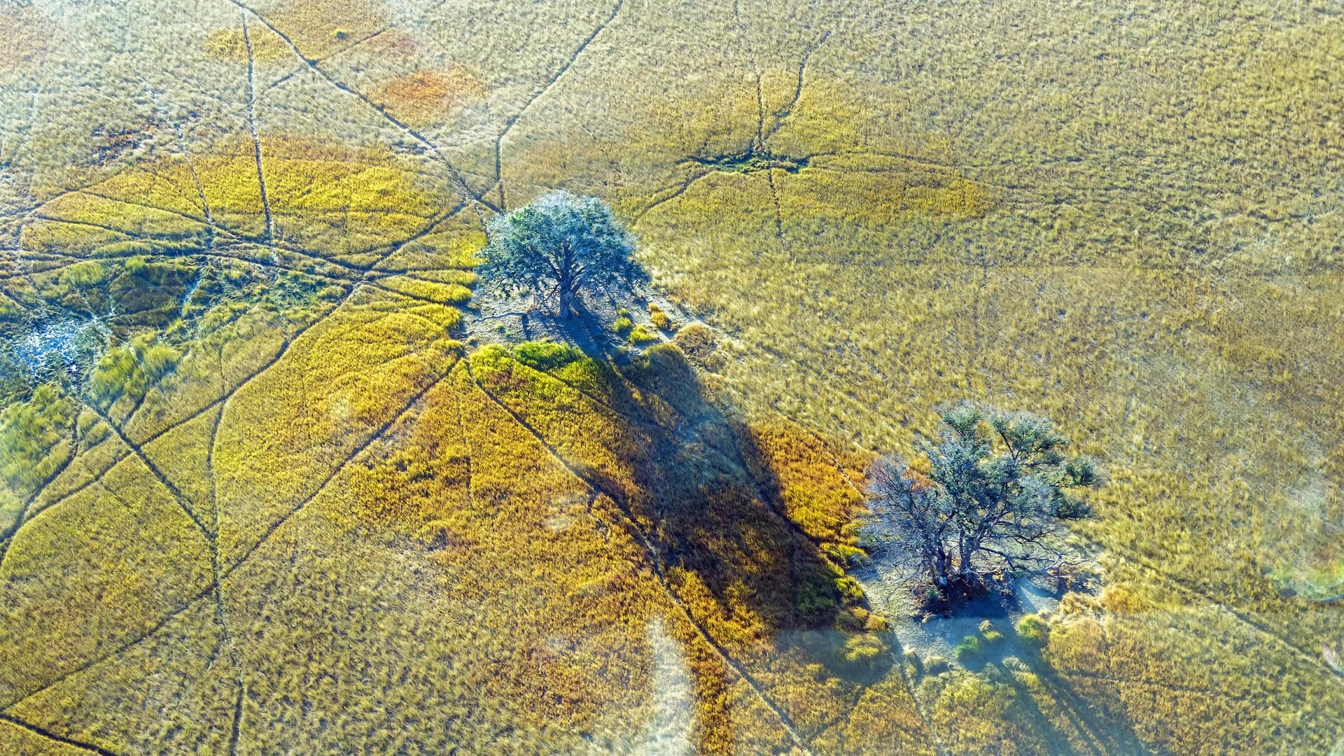
Steve Boyes, founder of the National Geographic Okavango Wilderness Project, discusses the effort to preserve Botswana's Okavango Basin.
Two Florida government organizations used GIS to coordinate efforts to protect native animals from predation by the Burmese python.
Researchers at Taita Taveta University are using imagery and ArcGIS technology to mitigate the grim effects of gully erosion in southern Kenya.
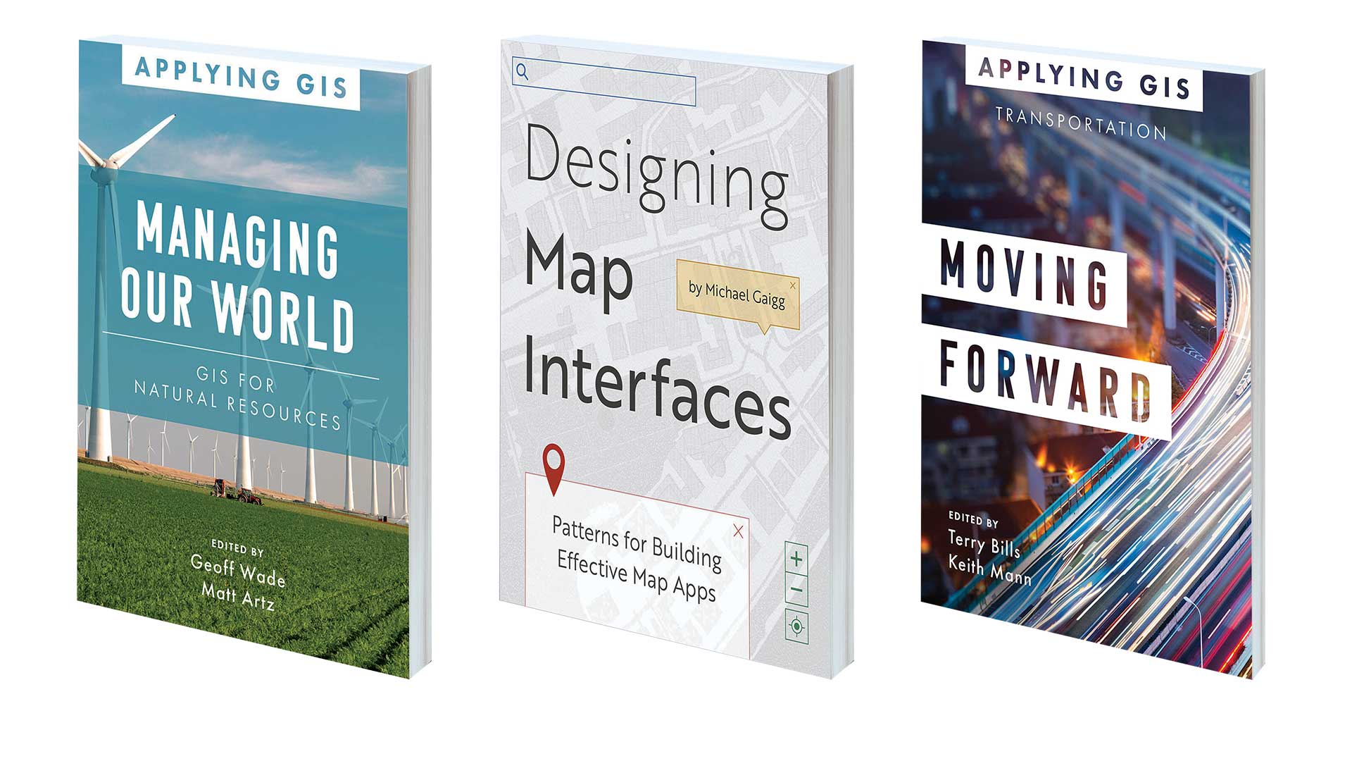
Book on using GIS to manage natural resources, optimize transportation, and design effective map apps