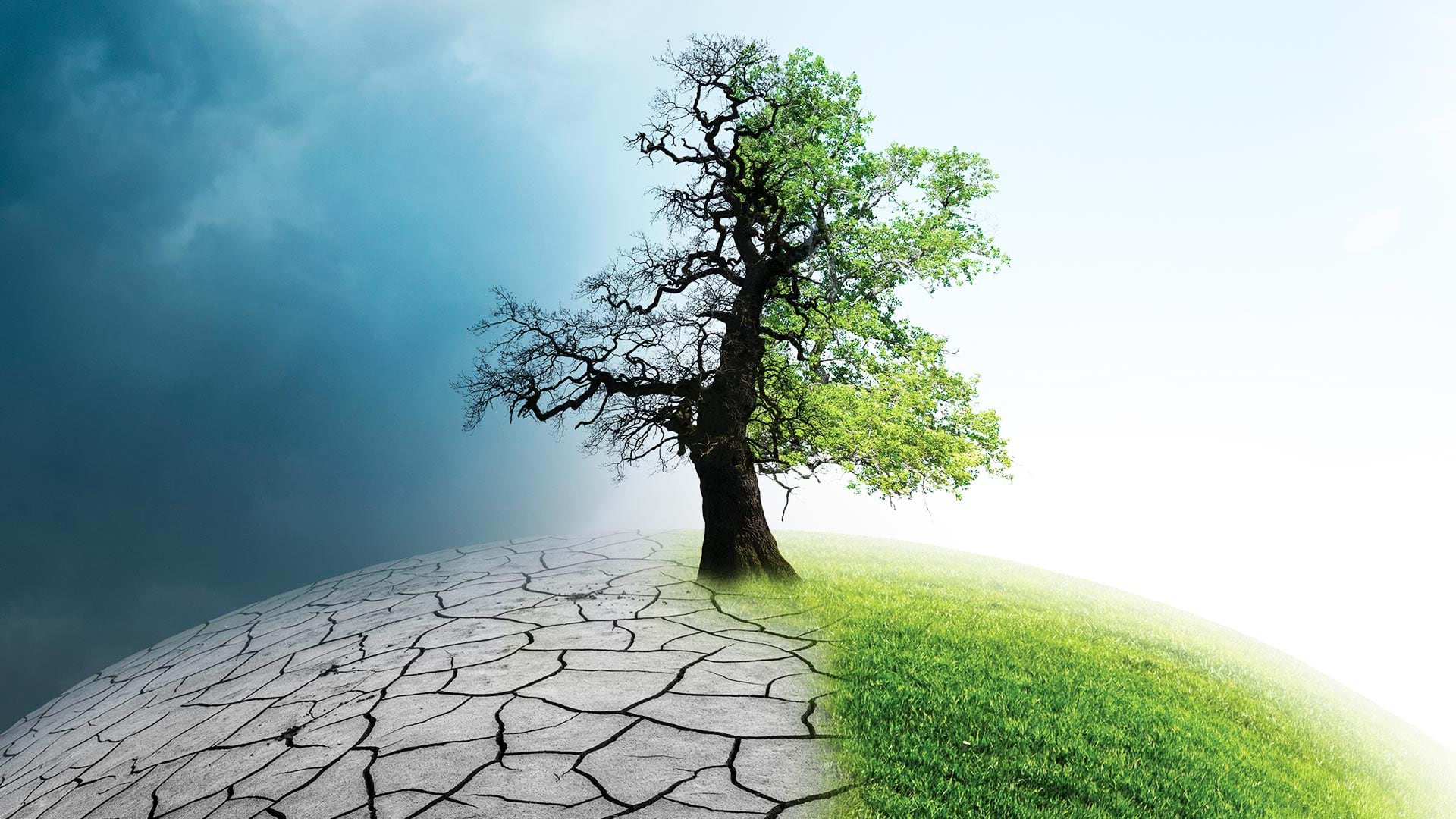
displaying 55 results

With GIS, the University of Minnesota is helping Minnesota counties follow the United Nations' 17 Sustainable Development Goals.
With a focus on GIS training, the New Jersey Department of Environmental Protection uses a wide range of GIS applications.
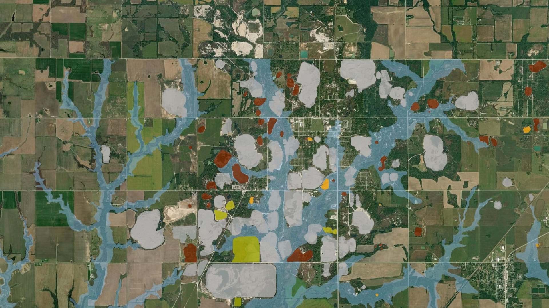
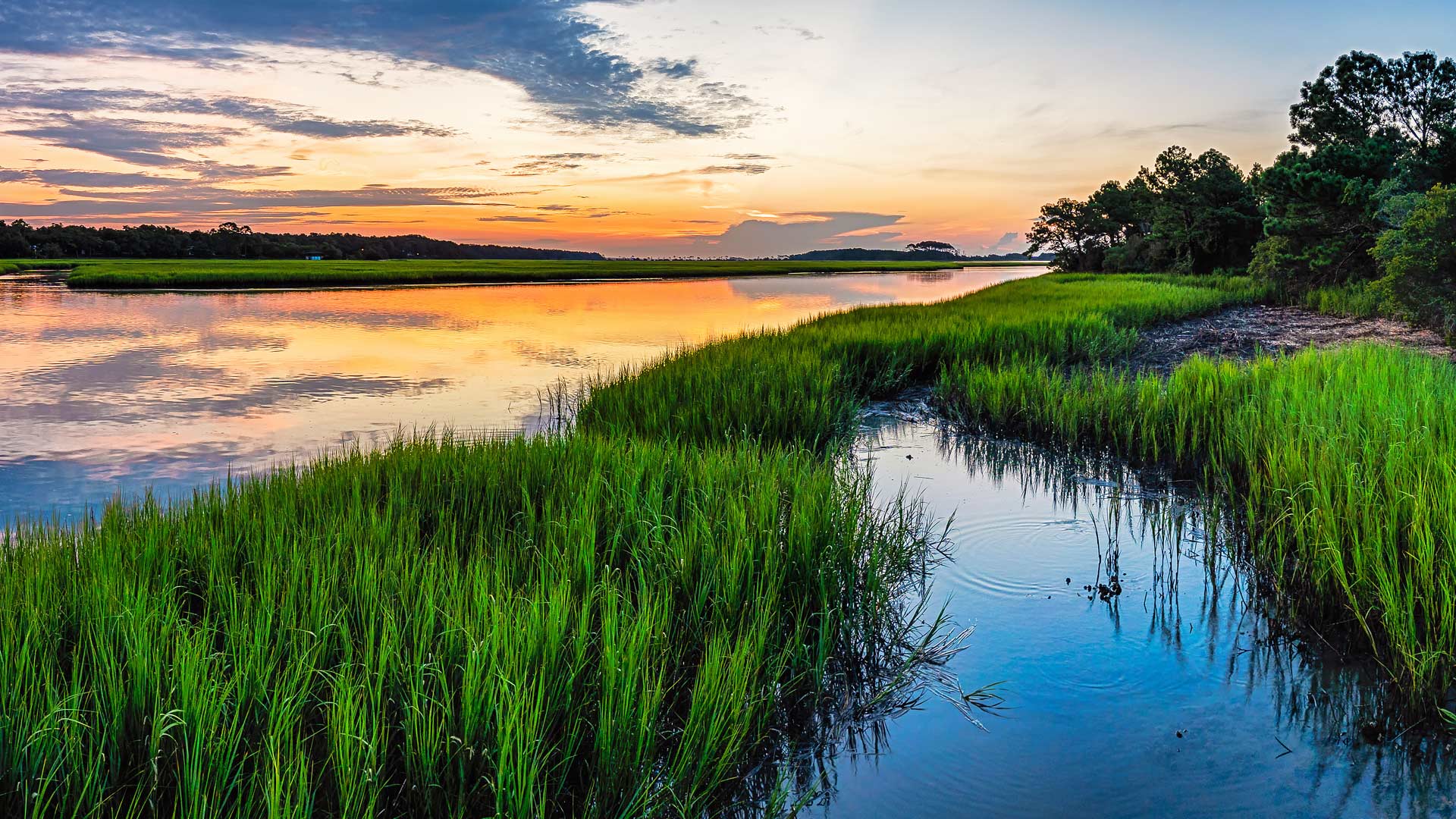
Check out this restoration project developed for native wetland vegetation in the Swan River National Wildlife Refuge in Montana.

California’s Napa County helps prevent the spread of exotic pests in commercial agriculture by using ArcGIS Field Maps.
The Tar Creek Superfund site created one of the most toxic floodplains in the US. LEAD Agency is using GIS to advocate for environmental justice.

Learn how Tennessee state agencies leveraged federal funds to develop a statewide recreation database.
Joe Lemeris uses GIS to manage habitat restoration and monitor endangered species. He also has an intuitive sense of geospatial strategy.

To better manage and store imagery and improve change detection analysis, Esri partner Skytec implemented ArcGIS Image for ArcGIS Online.

A comprehensive, ArcGIS technology-based solution helps Carlsbad, California, keep up with maintenance on pollution-catching structures.
Listen as Paul Cooper of the Arbor Day Foundation highlights the environmental and economic benefits of green infrastructure.
Natalie Stirrat, Technical Director at Arcadis, details how a geographic approach improves the design of smart infrastructure.