displaying 90 results
Water and Sewer Company of Thessaloniki S.A. (EYATH) integrated infrastructure and customer aspects of the business using GIS.
Deep learning models and GIS help accomplish wildfire damage assessments more quickly and more accurately.

Deaths from extreme summer heat are preventable so public health teams use online maps that show neighborhoods likely to experience extreme heat.

Firefighting and fire mitigation are both guided by GIS.
Los Angeles County’s Safe, Clean Water Program (SCWP) uses geospatial technology to manage 200 stormwater projects and studies.

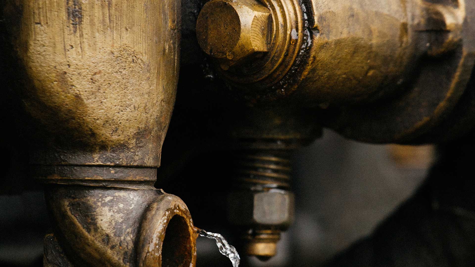
GIS has proven valuable in monitoring levels of dangerous chemical contaminants in drinking water.

Alachua County, Florida, uses GIS to manage its Irrigation Restriction Program.
Volunteers from the Geohazard Risk Mapping Initiative (GRMI) created tools to help Nigeria prepare for recurring flooding;

GIS is essential to helping utilities and governments replace lead service lines to comply with US Environmental Protection Agency regulations.
A water district created an app to improve its capital improvement plan (CIP) to better understand and control costs and operate efficiently.

The Florida Division of Emergency Management used GIS to create a five-year hazard mitigation plan.

Baltimore City Health Department epidemiologists matched COVID-19 case and death data with lists of facilities to improve its response.