displaying 52 results

AutoCAD 2025 now features ArcGIS Basemaps and ArcGIS Living Atlas of the World data; Esri’s Maps.com highlights exceptional maps.
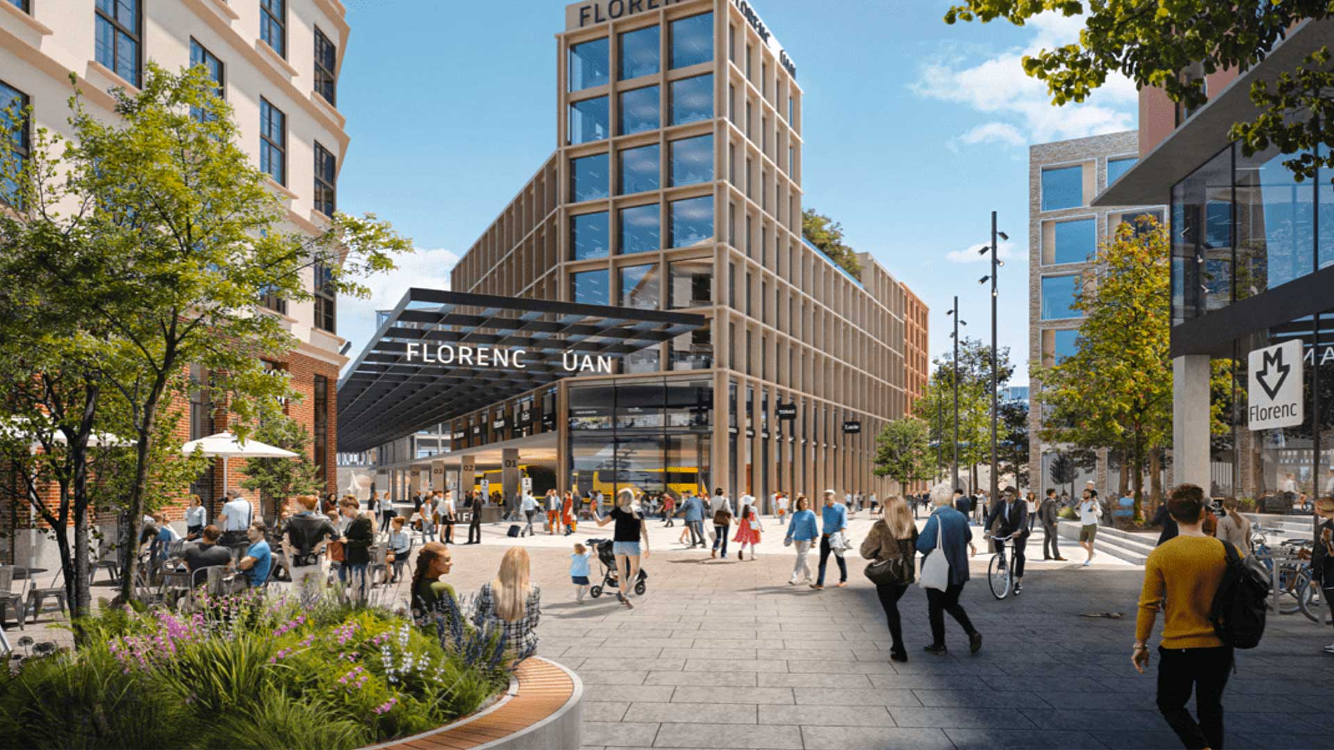
Fast growing Prague struggles to reconcile economic dynamism and historic preservation.

The Past Pandemic World, by Thomas Fisher, examines how previous pandemics have changed cities and how COVID-19 is altering various spaces.
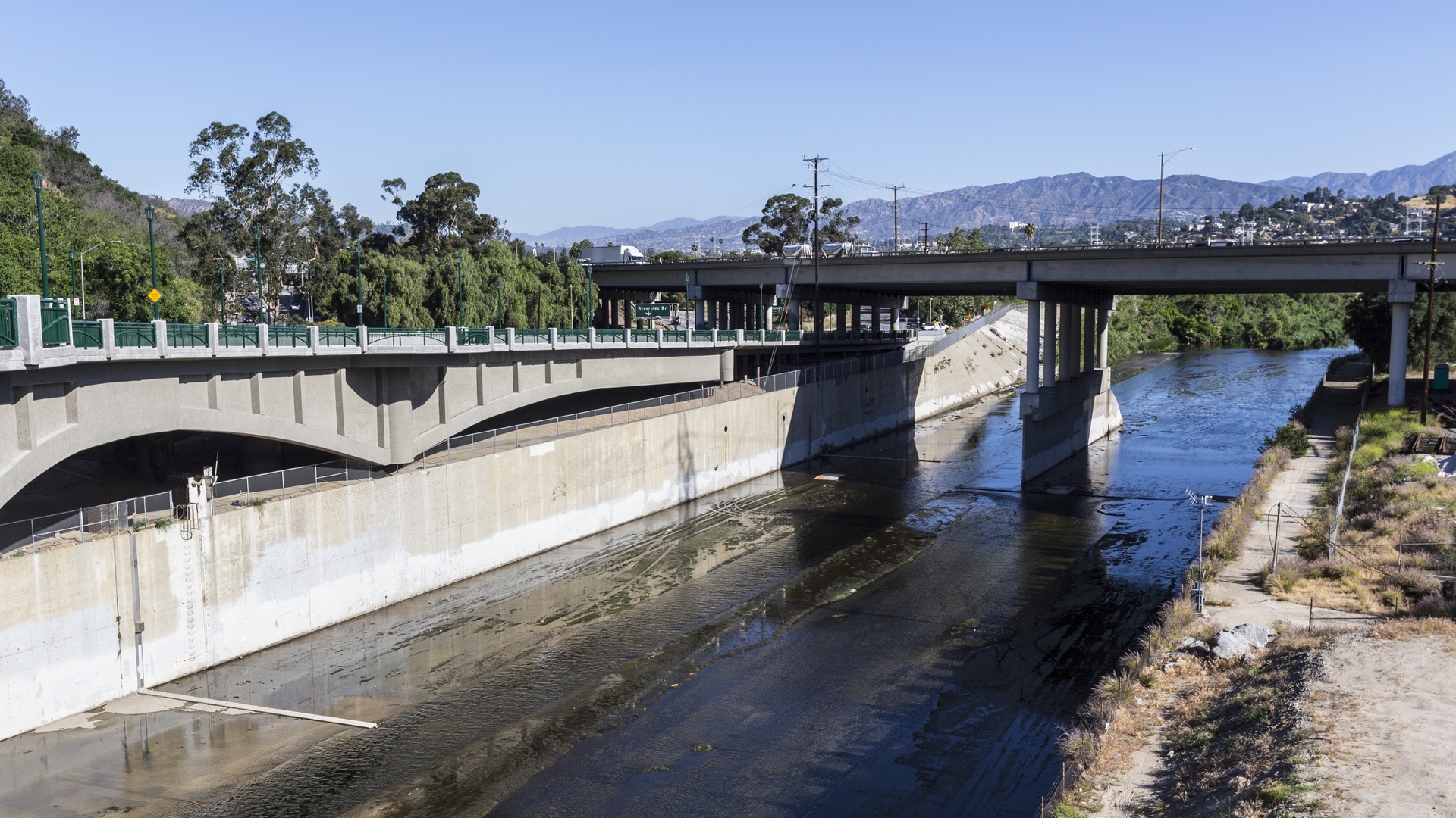
Careful consideration of people and natural processes leads to a holistic approach to LA River revitalization.
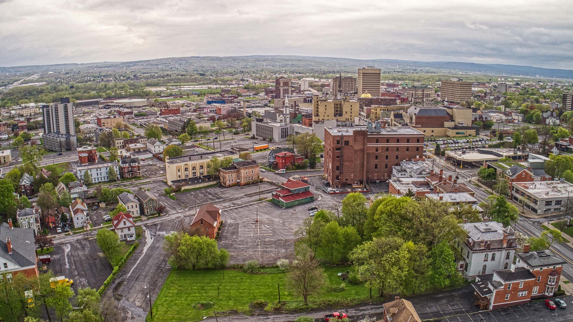
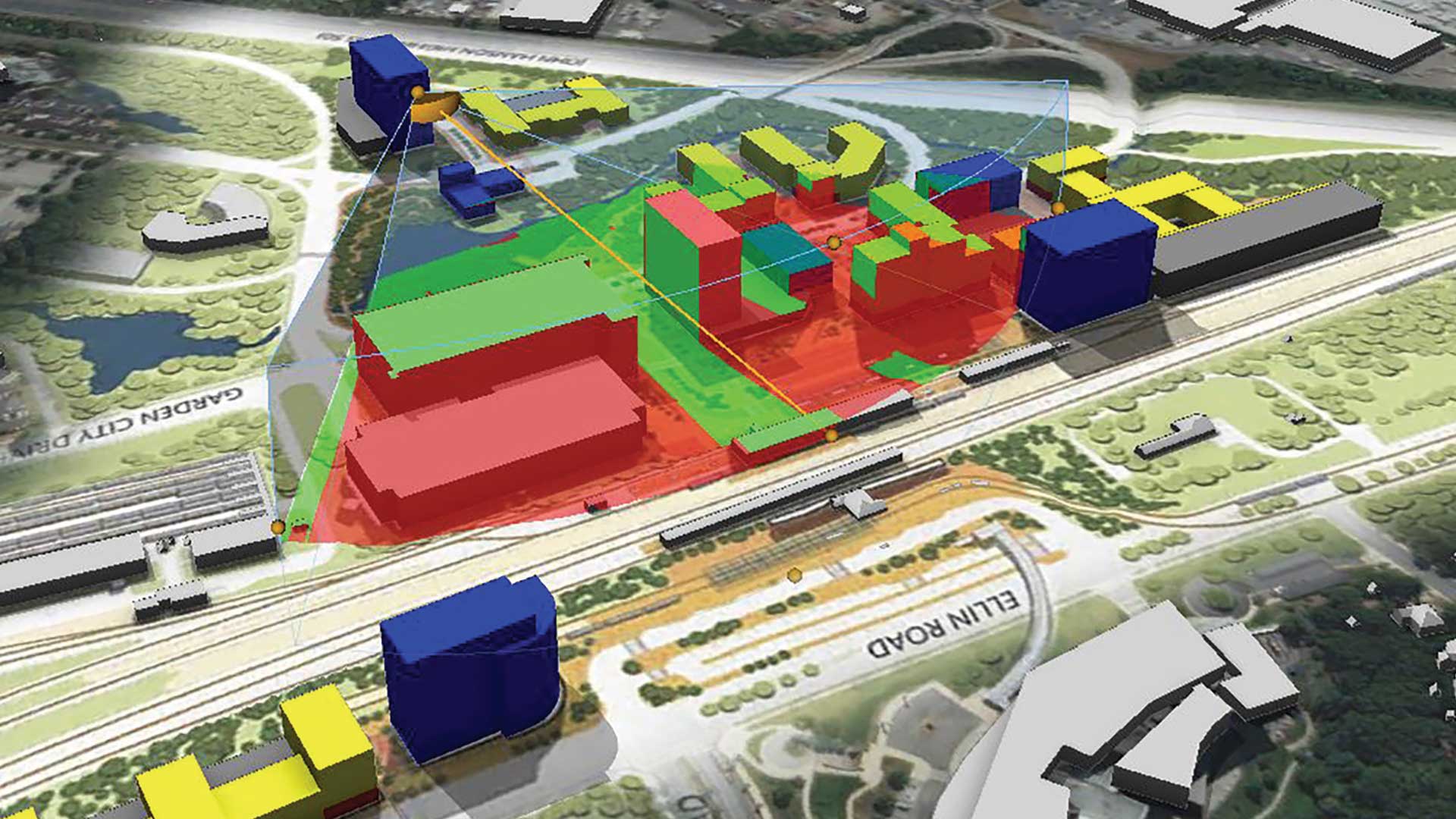
Penn State geodesign students took their GIS, environmental, and urban design skills and applied them to a real-life situation.
Discover the role of GIS, geodesign, and digital twins in making cities smarter in the future.
The Geodesign Summit returns, this time as a virtual event from February 9-10, 2020.
A civil engineering firm used ArcGIS to create a virtual reality tour to preview a proposed construction project.
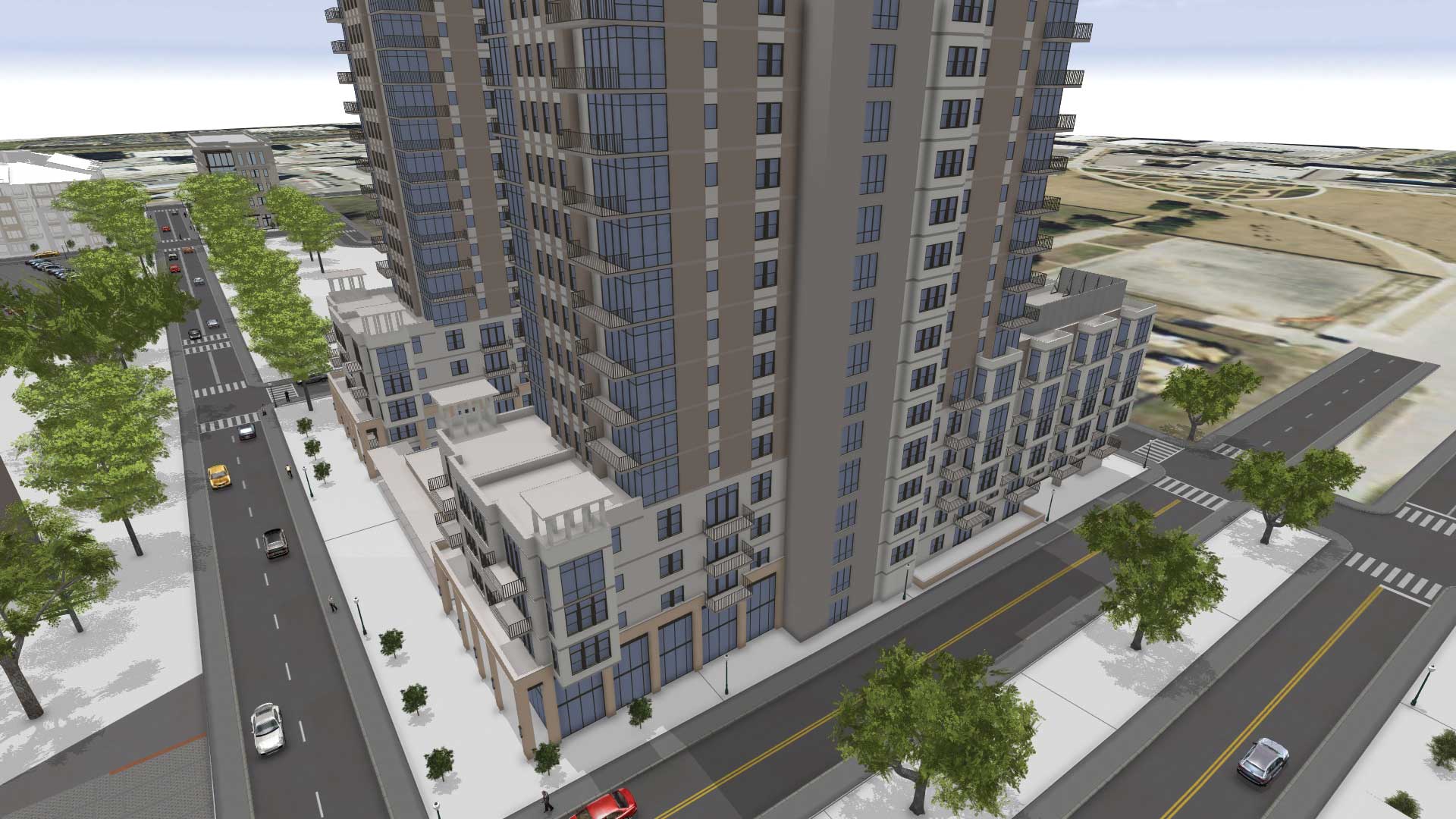
Gensler is using 3D GIS to create plans, visualize scenarios, and support collaboration and decision-making in design projects.

Numerous geodesign projects, including one to make a US Air Force base more climate resilient, were presented at the Geodesign Summit.
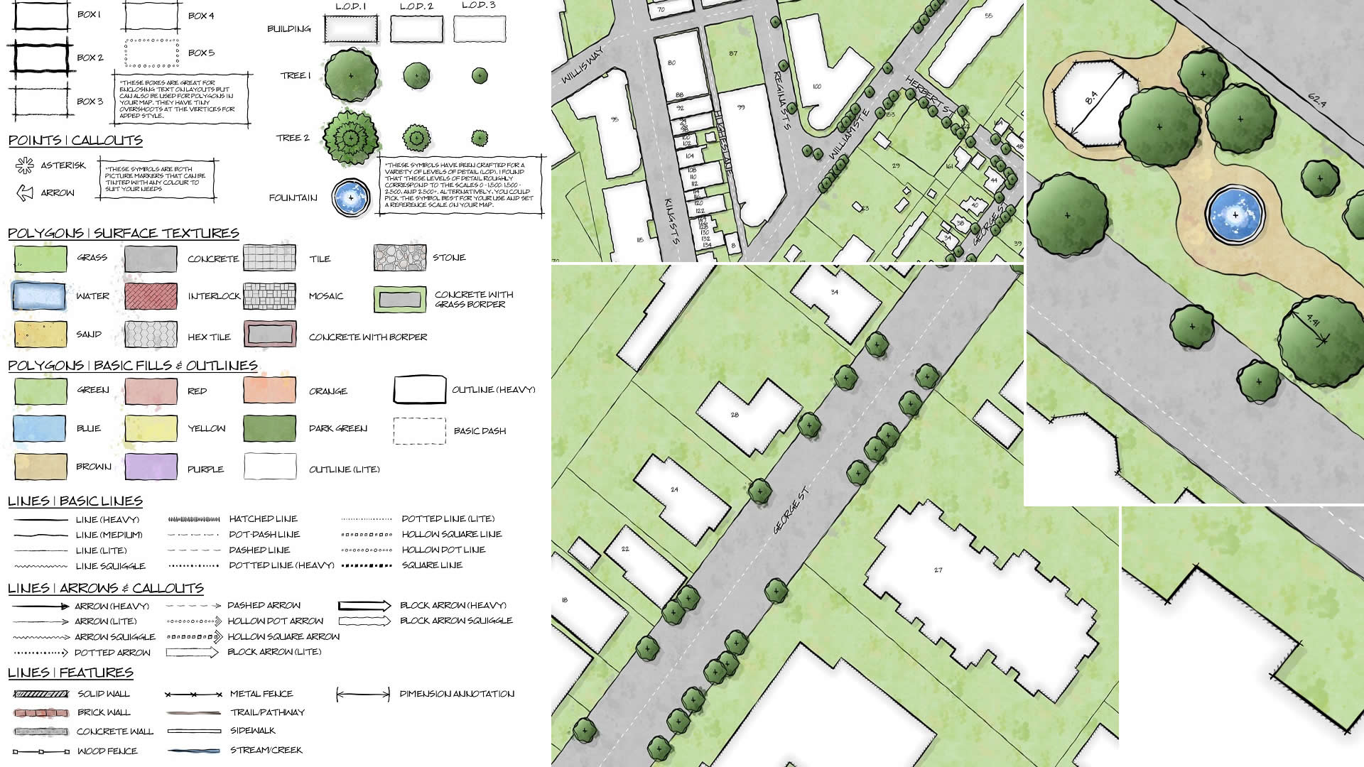
GIS analyst Warren Davison of Ontario, Canada, created Draft Sketch, a very artistic n ArcGIS Pro style for landscape design and site planning.
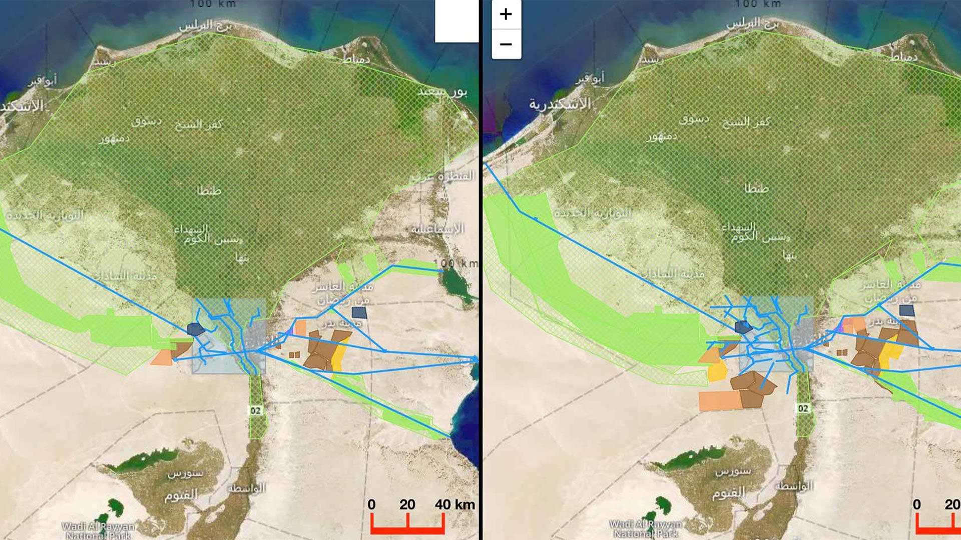
To solve urgent societal and environmental problems, the International Geodesign Collaboration is opening up and standardizing geodesign.