displaying 85 results
Learn how to leverage GIS tools for complying with network adequacy and enhancing health equity.
The recent increase in awareness of global health needs inspired Esri to strengthen its commitment to public health around the world.
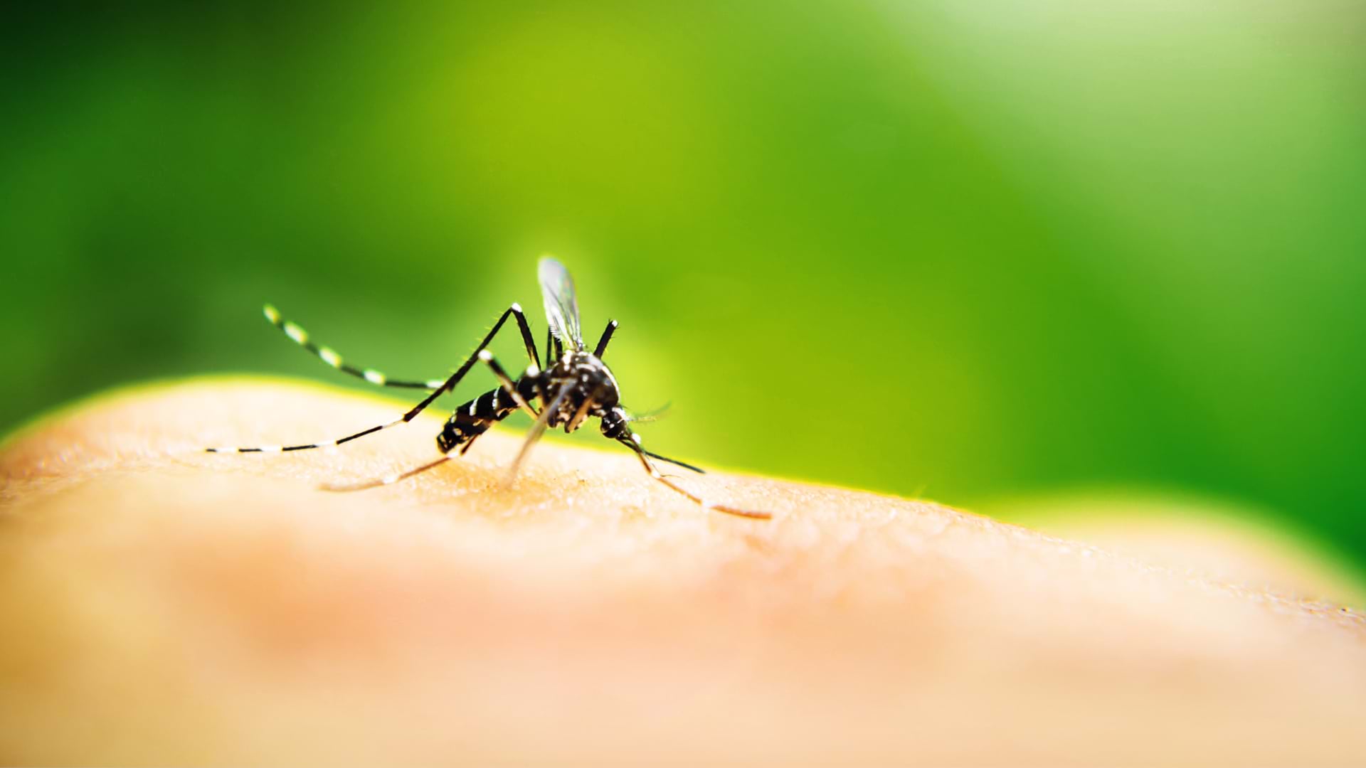
Zambia’s ministry of health uses geoenabled maps to help distribute insecticide-treated mosquito nets and indoor residual spray.

Interactive web maps let site visitors analyze poverty, childcare deserts, and health-care access to better aid youth in South Carolina.

The social and environmental characteristics of the communities where patients live can be used to inform future treatment options.
Join us in Chicago, May 2-3, 2023, to explore how improved health outcomes and better accessibility to healthcare lead to healthier communities.
In order to contain the spread of the flu, organizations can leverage GIS to mitigate its impact on communities.

During the baby formula shortage, Mothers’ Milk Bank used ArcGIS Business Analyst to engage with parents in need and find more donations.
Esri is looking to address how location data can help address mental health and created a StoryMap highlighting areas suffering the greatest.

Richard Matern, Director of Research at Food Banks Canada, explains how location technology is increasing understanding of food insecurity.
Geographic information is the common denominator for any public health crisis. Explore how experts can use GIS to slow the spread of monkeypox.
Everyone deserves the opportunity to live a healthy life. Explore how GIS can best support health equity at the policy level.