displaying 535 results
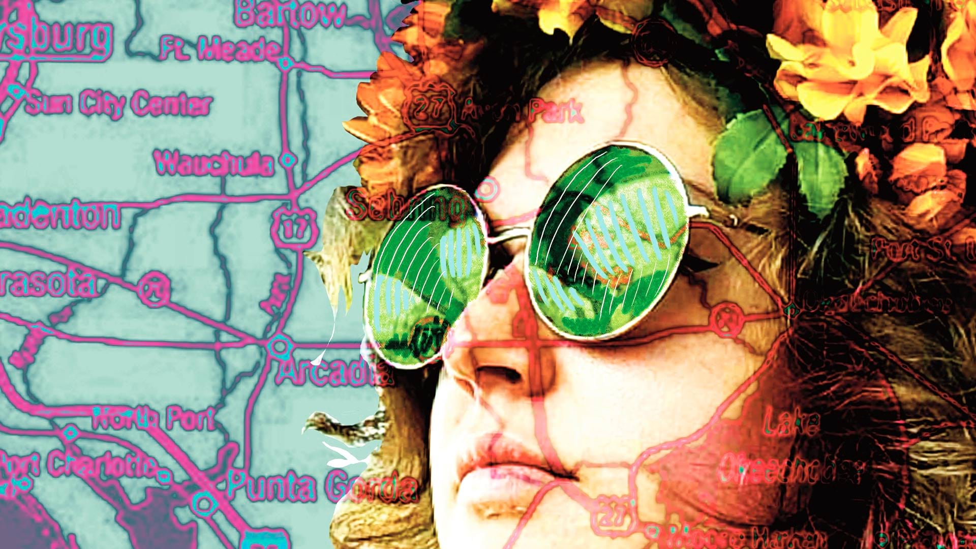
A Florida University combined geography and art in an innovative new class.

AutoCAD 2025 now features ArcGIS Basemaps and ArcGIS Living Atlas of the World data; Esri’s Maps.com highlights exceptional maps.

A GIS-powered America’s Commerce Corps program called Community Connection helps consumers and communities engage with local businesses.
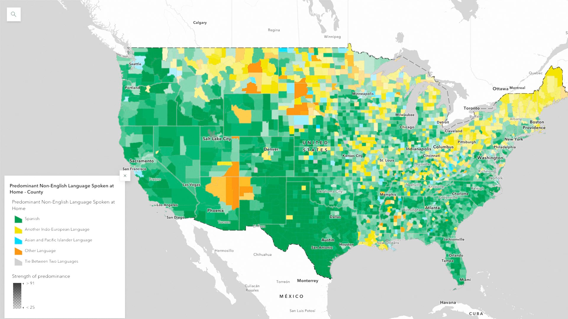
ArcGIS Living Atlas of the World now has the latest five-year estimates from the US Census Bureau’s American Community Survey

An experienced data analyst provides tips and best practices for managing GIS workflows.

Effective maps often blend art and cartography to evoke emotions and reactions.
Visualize quotes, stories, sentiments, and experiences using labels, pop-ups, dashboards, and word clouds.

Jack Dangermond and National Geographic Society CEO Jill Tiefenthaler discuss technology and the power of storytelling.
Check out this new platform dedicated to showcasing and celebrating beautiful and remarkable maps, as well as those who make them.
Join National Geographic Fellow Paul Salopek on his ten-year trek around the world to explore the people who make societies work.
Esri’s integrating 140 spatial analytics tools and functions into Microsoft Fabric, National Geographic launched the new Mapmaker, and more.

The ongoing successful development of modern cartography requires taking an integrated, interdisciplinary approach to producing maps.