displaying 67 results
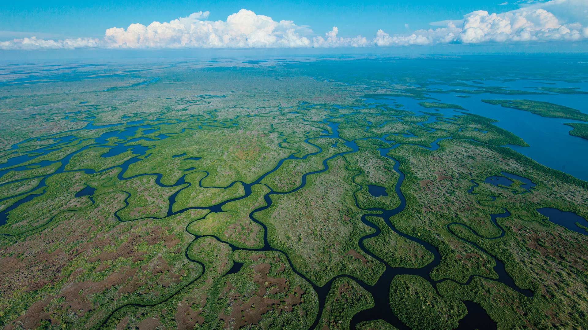
Two Florida government organizations used GIS to coordinate efforts to protect native animals from predation by the Burmese python.

To track assets and workflows along with customer billing information, Sunriver Utilities turned to Elements XS from Esri partner Novotx.
Visitors to northern Massachusetts can use the new GreenbeltGo app to explore and navigate the natural wonders of this historic area.
D’Maia Curry and Joshua Clifford from Esri talk about the emergence of the mobile worker and mobile GIS.
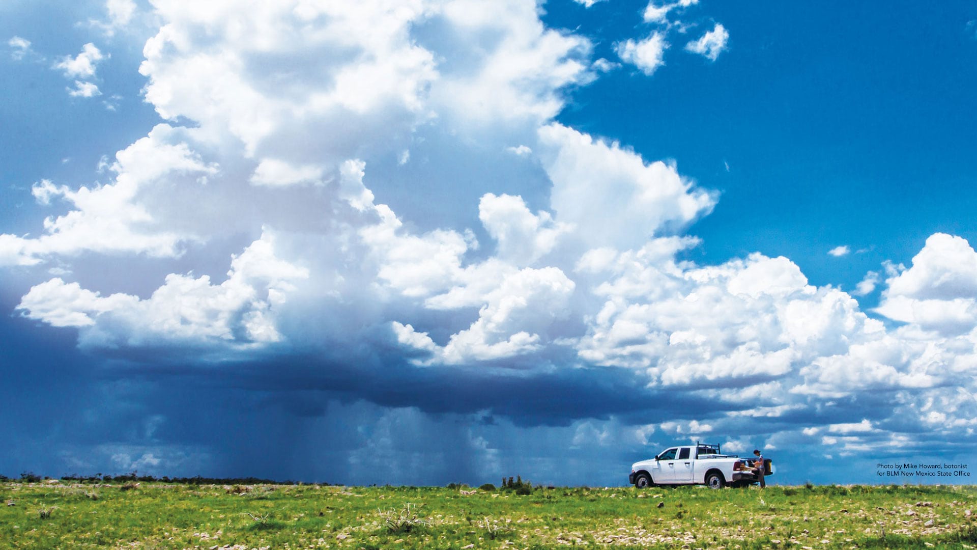
The Bureau of Land Management looks to employees to drive technology change.
GIS is helping empower blind and partially sighted people to navigate and understand the world around them.

See how five Esri partners have used their GIS expertise to assist cities and citizens with planning, navigation, and geospatial technology.

Mobile GIS helps project managers record and monitor tree planting efforts, which hope to stop the deadly march of desertification.
A law enforcement team in California uses Esri technology to find out what services homeless people need and match them with those services.
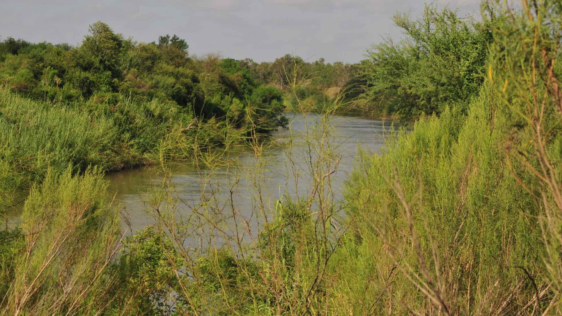
The US Border Patrol’s Missing Migrant Program works to locate and assist lost migrants who face a harrowing journey in harsh conditions.

The South Coast AQMD app gives users location-based air quality information for greater Los Angeles, California.

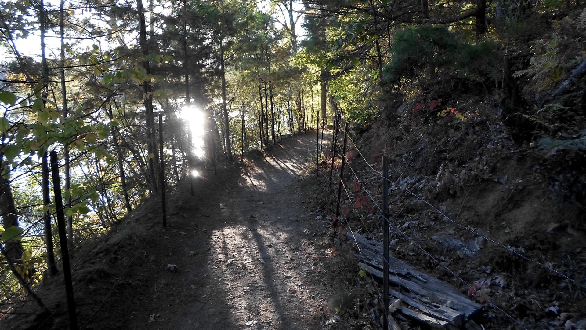
Built on ArcGIS technology, the Easy2Hike app helps hikers, bikers, and equestrians plan hikes and learn more about their surroundings.