displaying 31 results
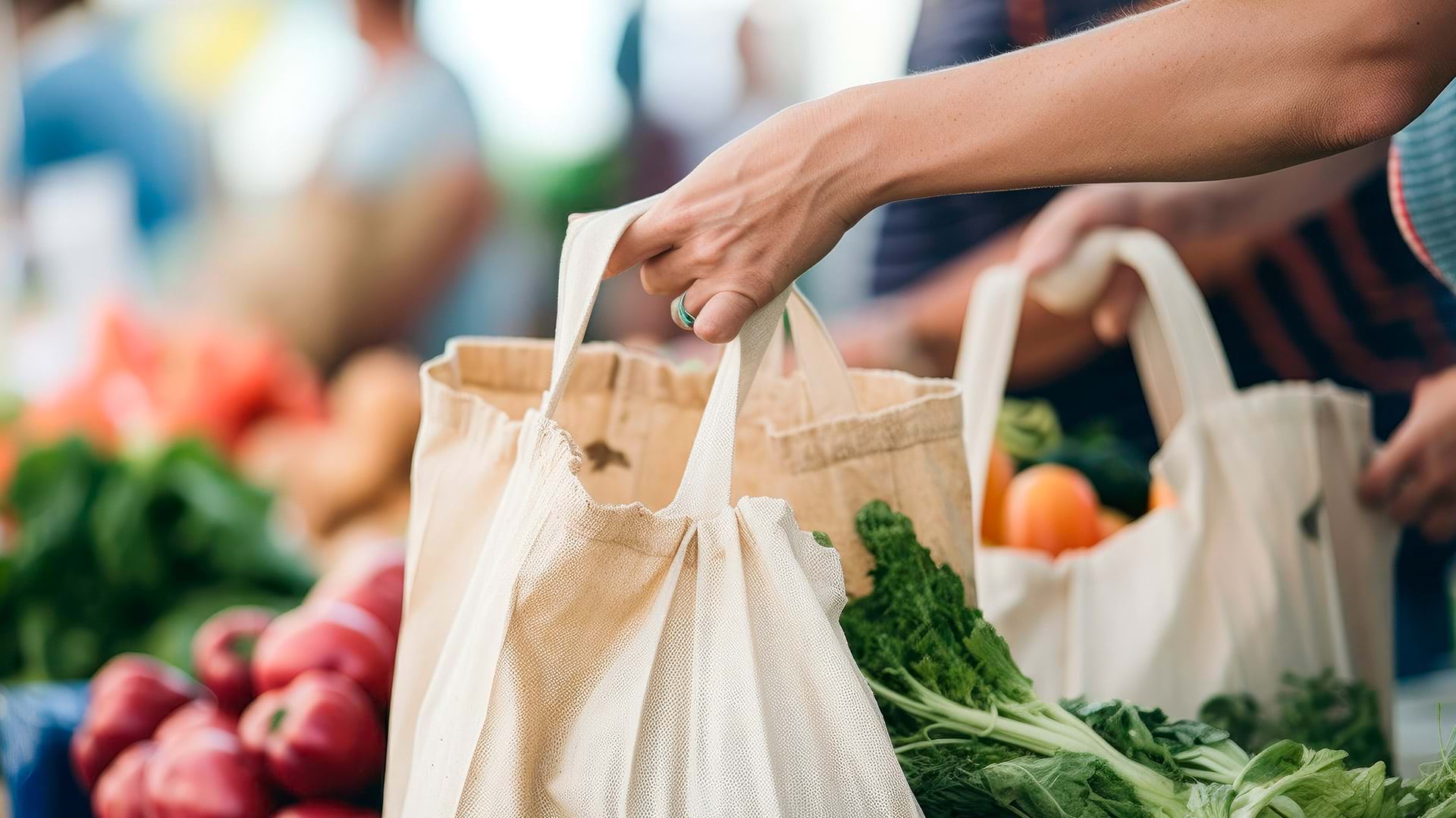
Using ArcGIS Pro and ArcGIS Online, Food Rescue Hero developed a new way to provide fresh food to tens of thousands of people in Pittsburgh.
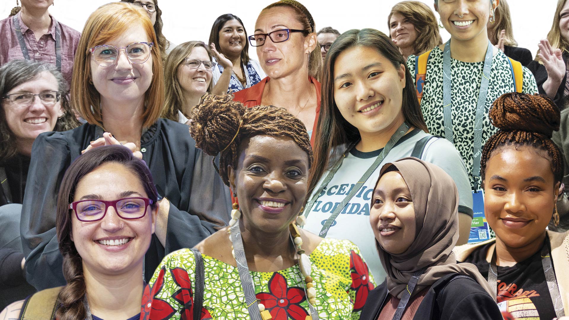
The organization offers a safe place for people of all genders and from all geospatial fields to work together to overcome common barriers.
The software and services provided by the Esri Small Nonprofit Organization Grant.

A new grant from Esri gives nonprofit organizations free geospatial software, and find out how to celebrate GIS Day!
Local Voices, Local Choices: The Tacare , Measuring Up: The Business Case for GIS, Volume 3,
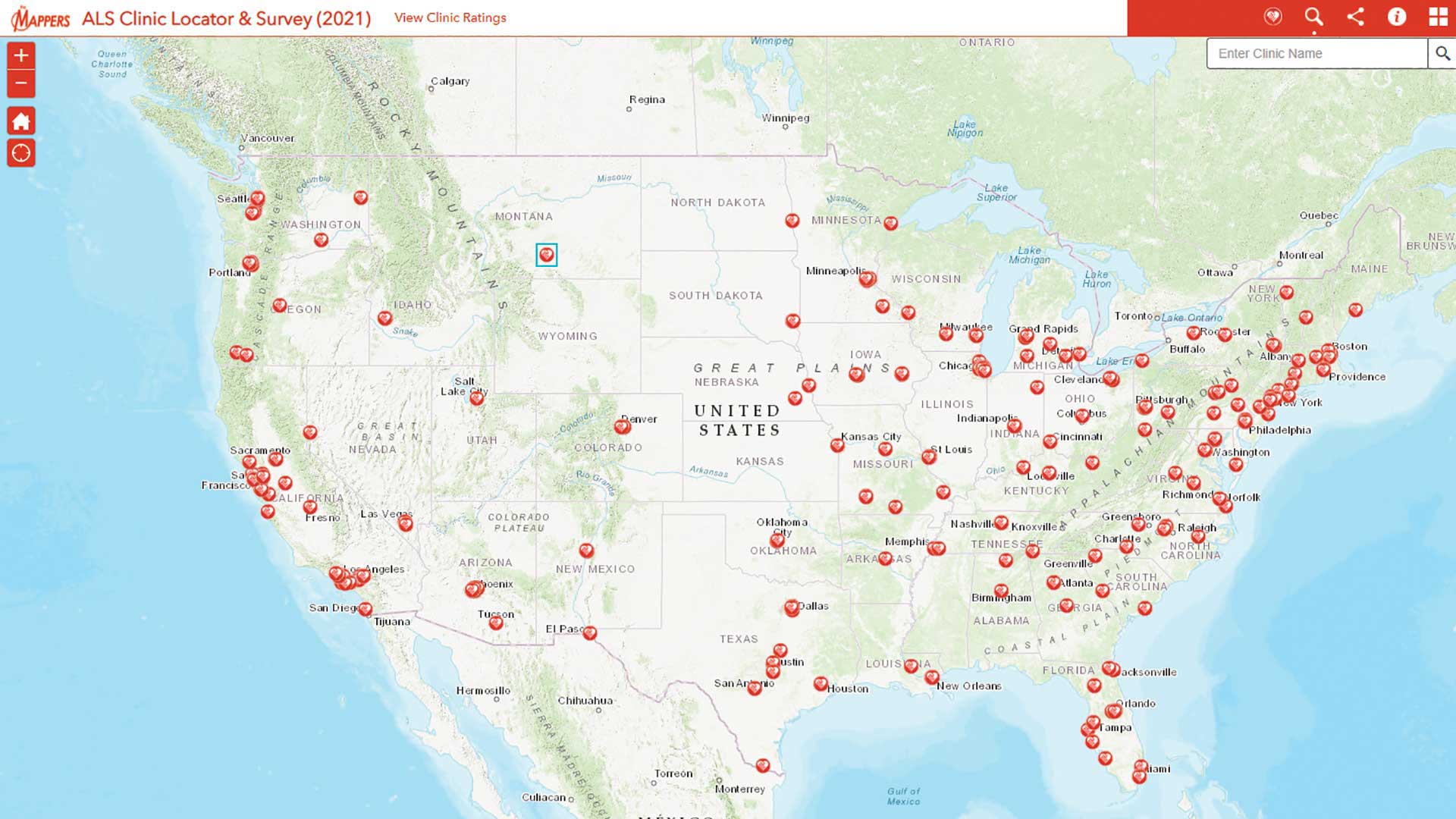
Pat Dolan used his GIS expertise to build tools to help the amyotrophic lateral sclerosis (ALS) community.
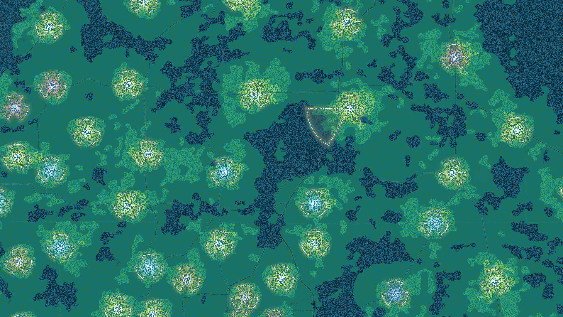
Sean O’Brien of NatureServe interviews Esri chief scientist Dawn Wright about oceanography and the Map of Biodiversity Importance.
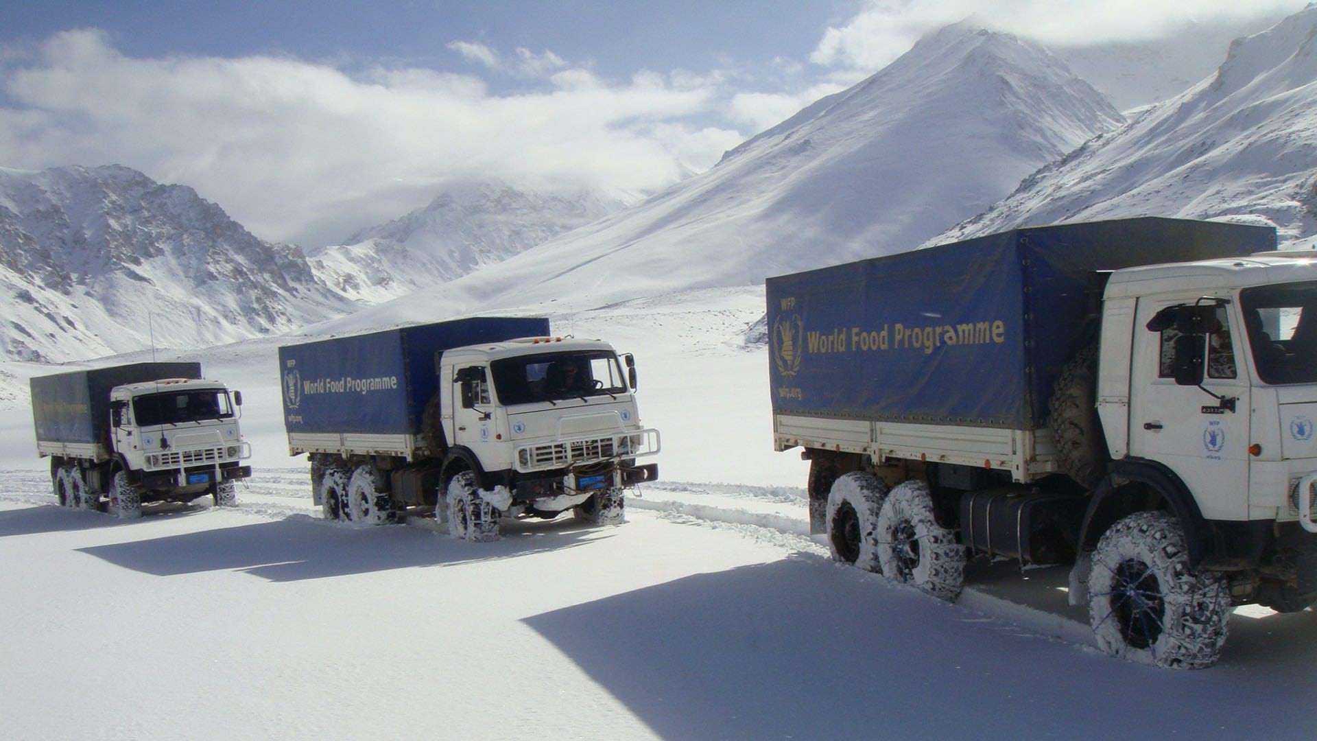
The World Food Programme uses maps, apps, and dashboards to gather and convey context and plan every mission in Afghanistan.
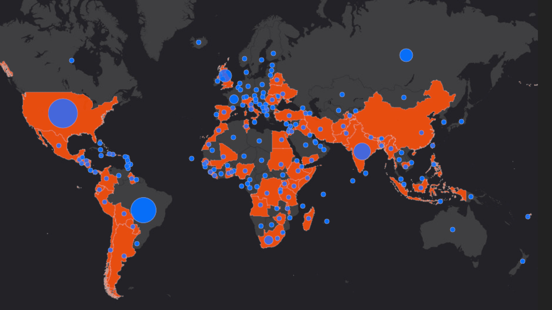
Andrew Schroeder from Direct Relief explains how technology cuts through supply chain obstacles in a global emergency.
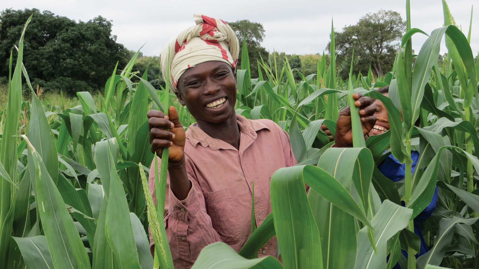
An economic development nonprofit organization uses ArcGIS to better understand and optimize agricultural value chains.

Esri supports the work of Jane Goodall and E.O. Wilson; CropScape data available; Esri and MobilEye partner.

As religious services attract fewer attendees, those who tend the faith are using unconventional methods to find new ways to serve the community.