displaying 48 results
ArcGIS Maritime now integrates with ArcGIS Field Maps, taking Electronic Navigation Chart production out of the office and onto the water.
Coastal planner Leah Fulton discusses the extent of lost commercial fishing gear in the ocean pollution crisis.
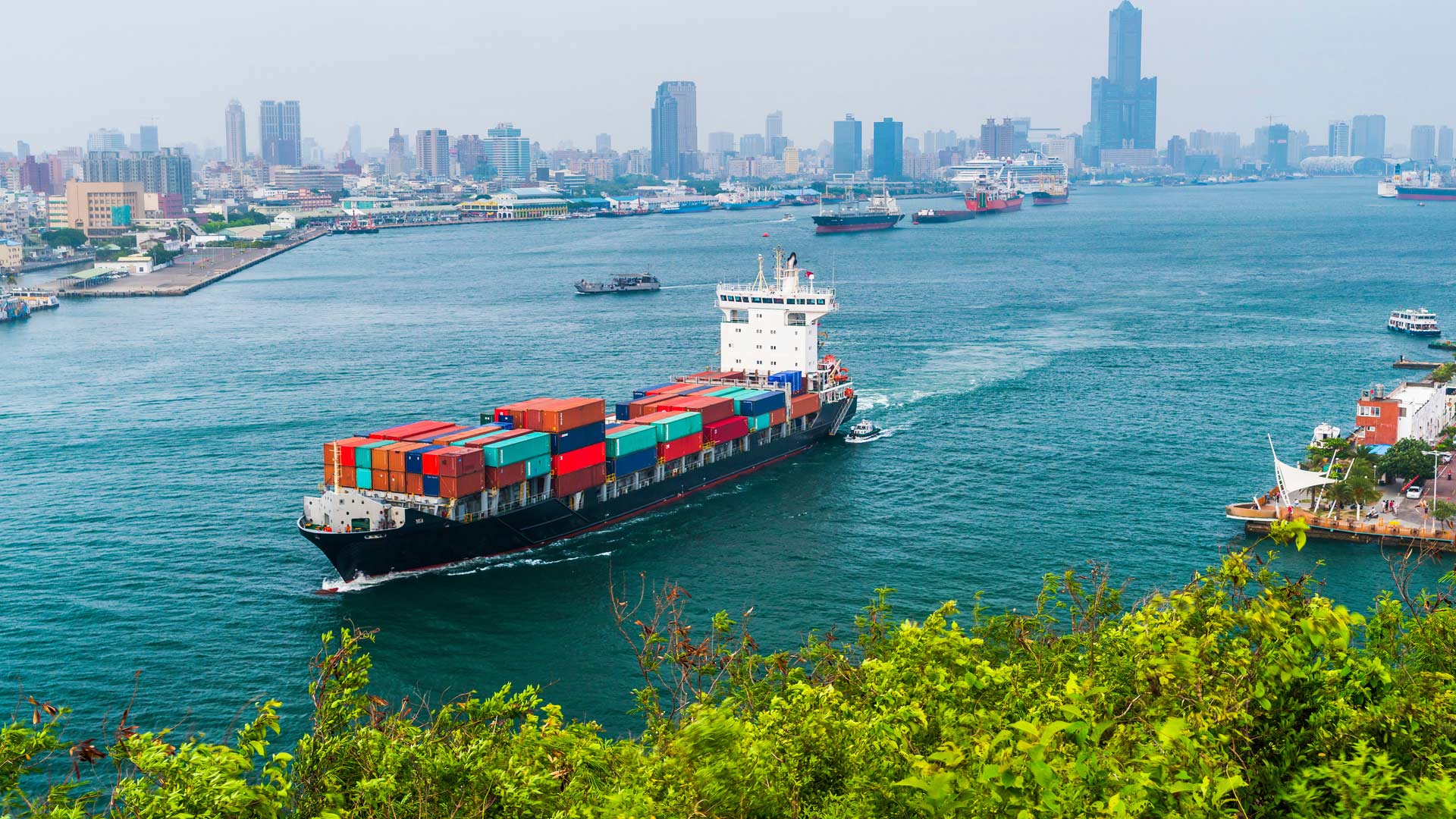
In his keynote address to the 2023 Esri User Conference, Dr. Richard W. Spinrad introduced event attendees to the New Blue Economy.
Coastal planner Leah Fulton discusses the extent of lost commercial fishing gear in the ocean pollution crisis.
Researchers at MaREI have created a freely available tool that will help harness the power of clean, renewable ocean energy.

Dr. Rick Spinrad from NOAA explains how technology helps sustain the global ocean economy while also safeguarding the ocean environment.
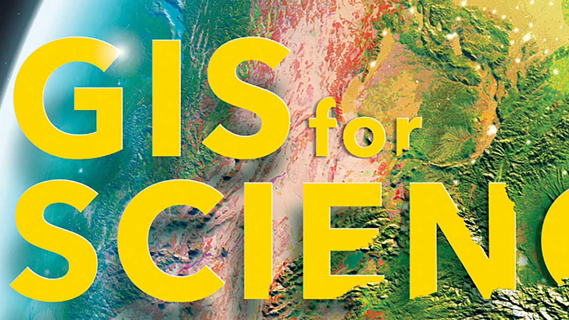
The GIS for Science series, published by Esri Press, illustrates how GIS is being applied to scientific research.

Esri is contributing to scientific projects that are part of the UN Ocean Decade.
We need to see that the ocean’s problems are the Earth’s problems—it’s all one interconnected, interdependent world.

A dynamic and interactive web app now educates visitors on critical issues and best practices.
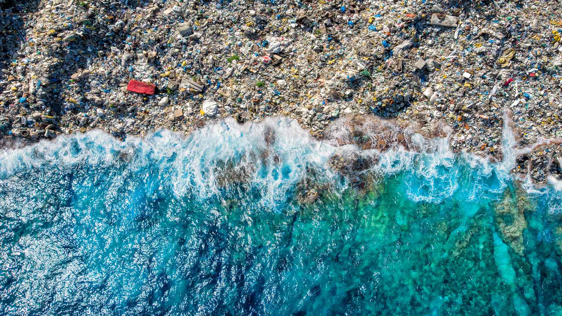
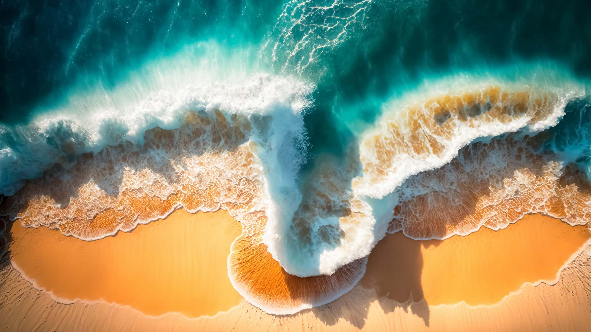
The GIS user community is key to figuring out which beaches around the world are consistently fouled by plastic and how to clean them up.

Esri’s chief scientist became the first person of African descent to dive to Challenger Deep, where she surveyed its Western Pool.