displaying 75 results
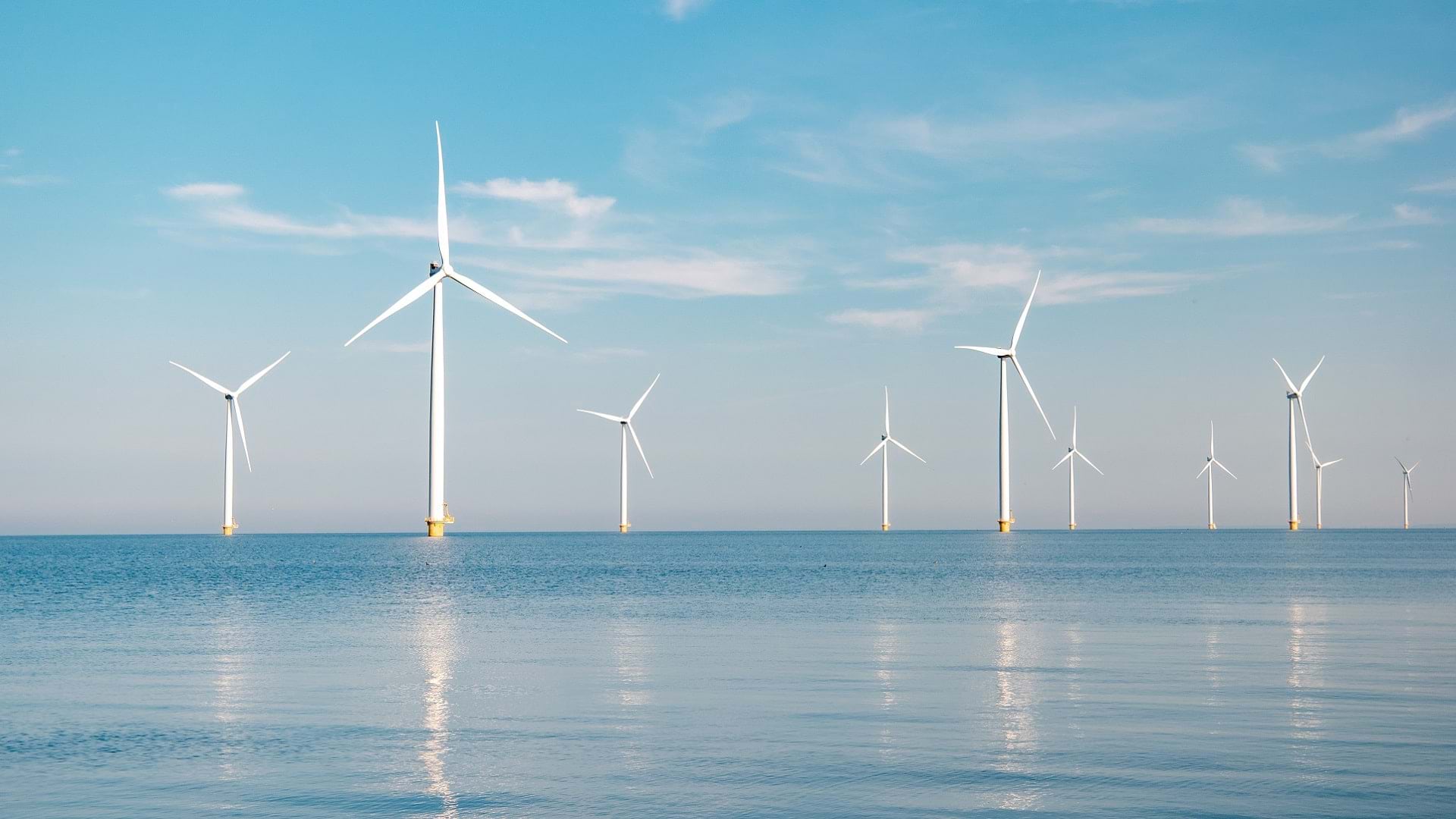
Ørsted has long used GIS technology in constructing and operating wind farms. A new geodatabase is helping centralize every step of the process.

Esri is actively involved in a multitude of climate-related activities, including massive online open courses.

With humanity at an inflection point, we must choose to stand up and create a sustainable future.

With GIS, the University of Minnesota is helping Minnesota counties follow the United Nations' 17 Sustainable Development Goals.
Listen as professor Matt Ritter discusses the vitality of tree networks in fighting the effects of climate change.
International Monetary Fund Senior Economist Serkan Arslanalp explains how real-time supply chain visibility keeps international trade moving.
Listen as Allie Kelly, Executive Director of The Ray, explains the imperative of greenifying the US power grid.
Countries around the world are using the Mountain Green Cover Index developed by the UN to monitor changing vegetation and improve conservation.

International Monetary Fund Senior Economist Serkan Arslanalp explains how real-time supply chain visibility keeps international trade moving.
Sustainability and climate action have become critical priorities for individuals, organizations, and governments alike.

Geospatial data allows us to understand our current state, forecast challenges, and identify root causes of climate change.
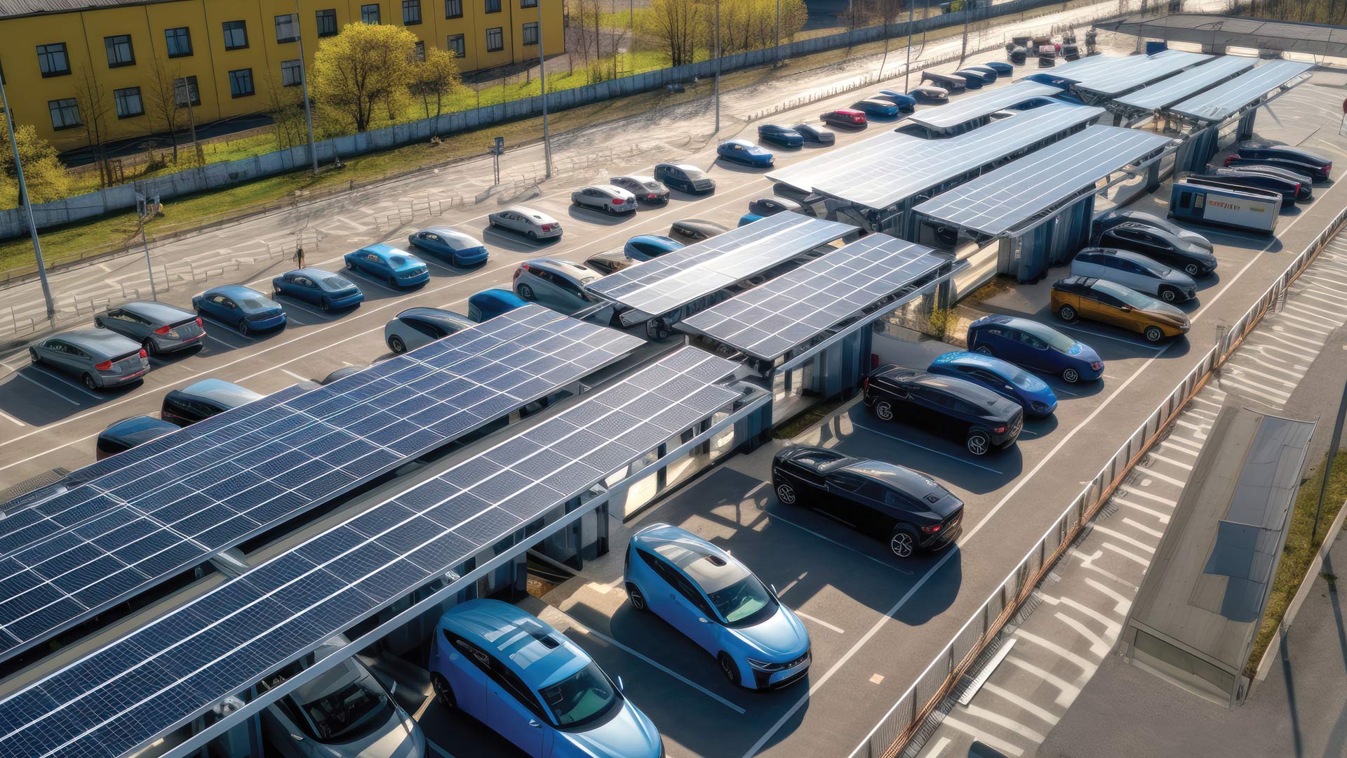
A deep learning model in ArcGIS Living Atlas of the World automatically detects parking lots that are ideal for solar panel installation.