displaying 75 results

A Colorado-based railroad management company is maximizing asset value by using ArcGIS Field Maps and a custom GIS app.
Esri's Ian Koeppel discusses Rail Baltica, the high-speed rail project that will link the Baltic States to Europe.
Josephine Young from the San Francisco International Airport details the world-class travel hub's multi-billion dollar technology revamp.

Brevard County has built a comprehensive street viewer in ArcGIS Enterprise to catalogue and maintain the county's infrastructure.
With extreme heat events predicted to increase significantly, will railroads be able to withstand future heat waves?
KeAndra Cylear Dodds from LA Metro talks about how mapping and technology are helping reduce inequality of transportation access in LA.

A new Vision Zero DC website, built using ArcGIS Hub, helps the city work closely with community members to transform transportation safety.

Thanks to three new data models, capital improvement projects have been streamlined to better meet the airport’s current and future needs.
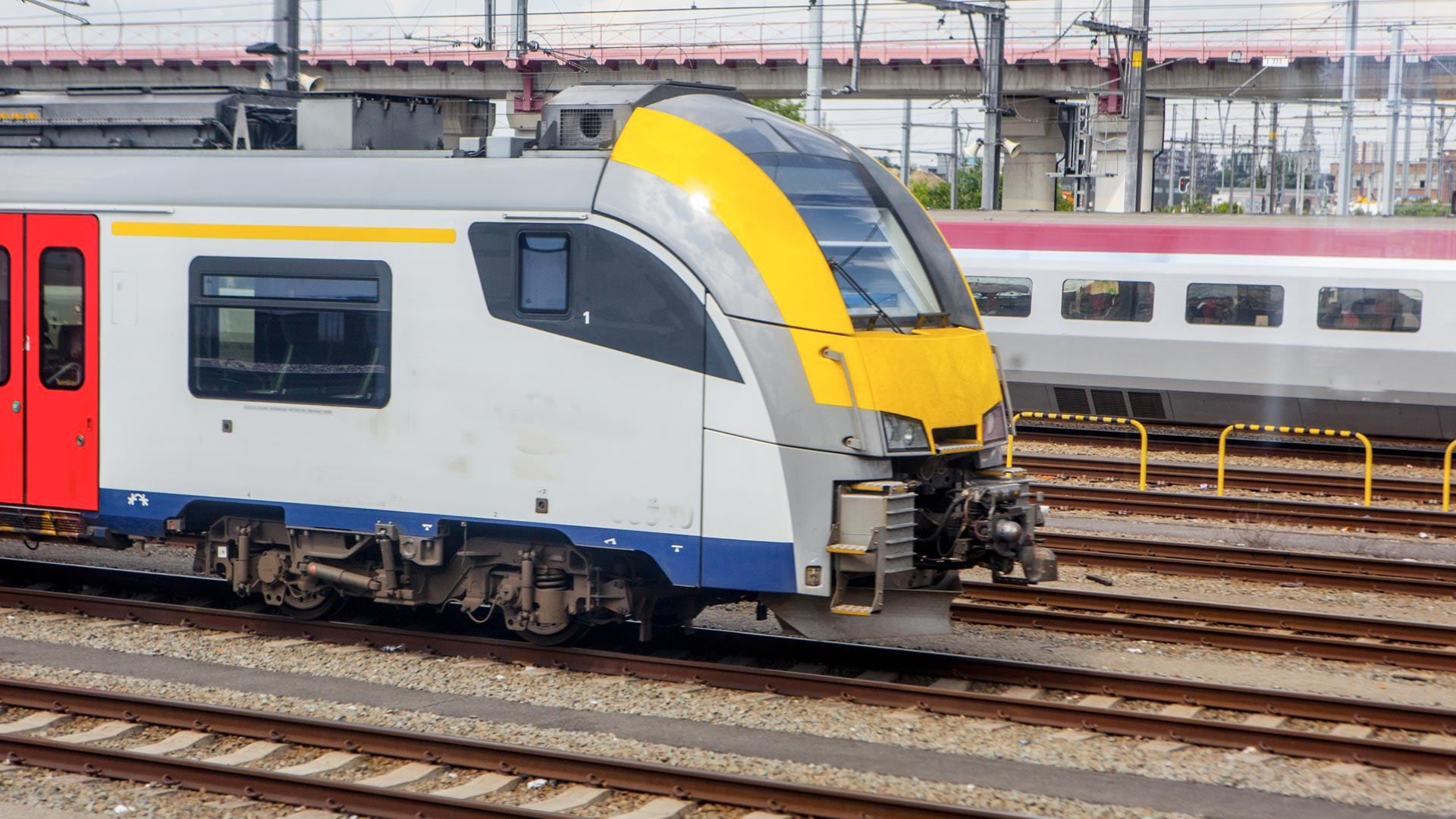
Government agency Infrabel developed two GIS-based apps that track train and worker movements—in some cases, down to the subfoot level.
Listen as Anne Shaw, Executive Director at Transport for West Midlands, discusses geospatial technology's role in public transportation.
Listen as Allie Kelly from The Ray talks the role of geospatial technology in planning and designing sustainable roads and highways.

After inventorying its roads, the city built a network schema to show where pavement needed to be replaced and how much it would cost.