displaying 29 results

Esri is working closely with hydrographic offices around the world to modernize their maritime mapping systems using GIS.

Esri launched an R&D center for GeoAI, the UN built a gender statistics story map, Dangermond was honored in the Netherlands, and more.
At the 2019 Esri Developer Summit, attendees learned how to best work with Esri technology and how their creations foster positive change.
ParcelAtlas, available in ArcGIS Marketplace, is a frequently updated cloud-based cadastral content service for use with ArcGIS technology.
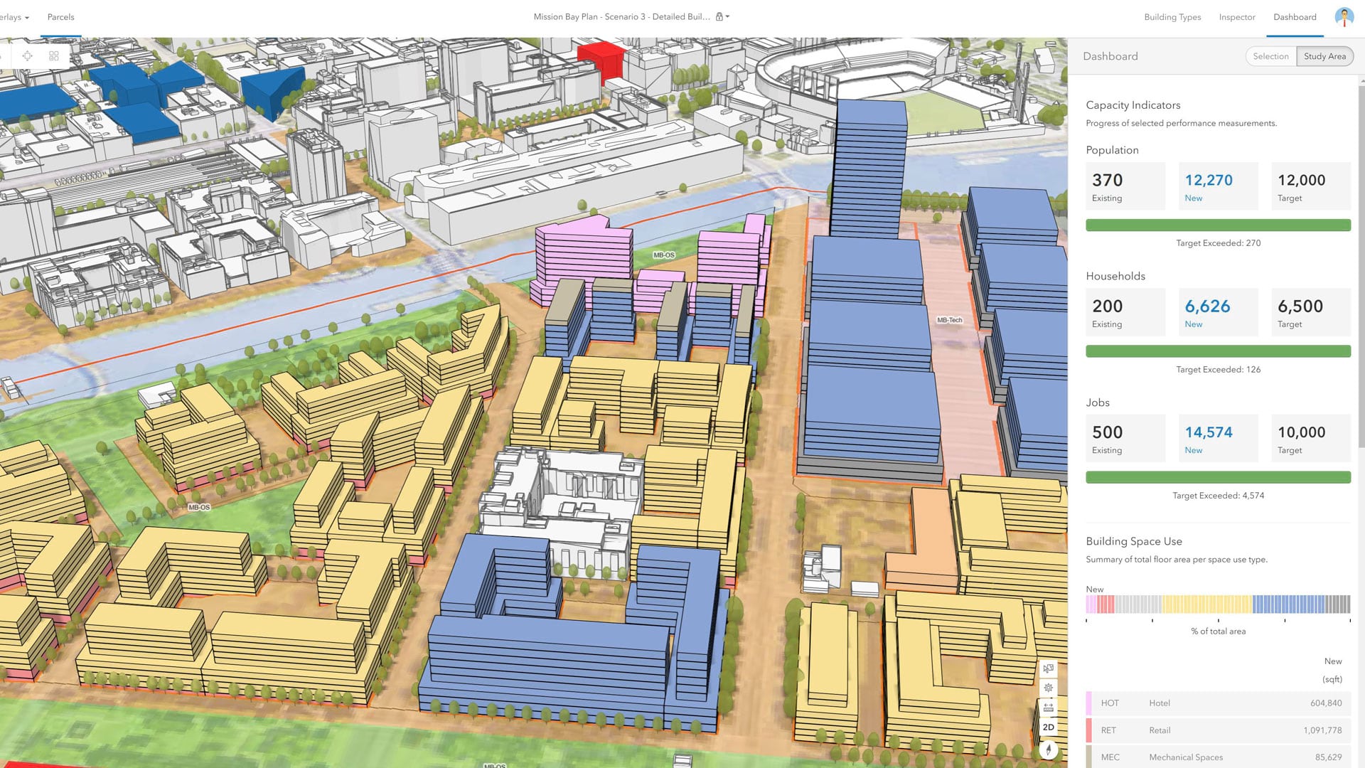
With an immersive 3D experience, ArcGIS Urban allows planners, governments, and citizens to visualize proposed development in their cities.
There is often a disconnect between what’s happening in the field and the office. With Tracker for ArcGIS, that’s no longer the case.

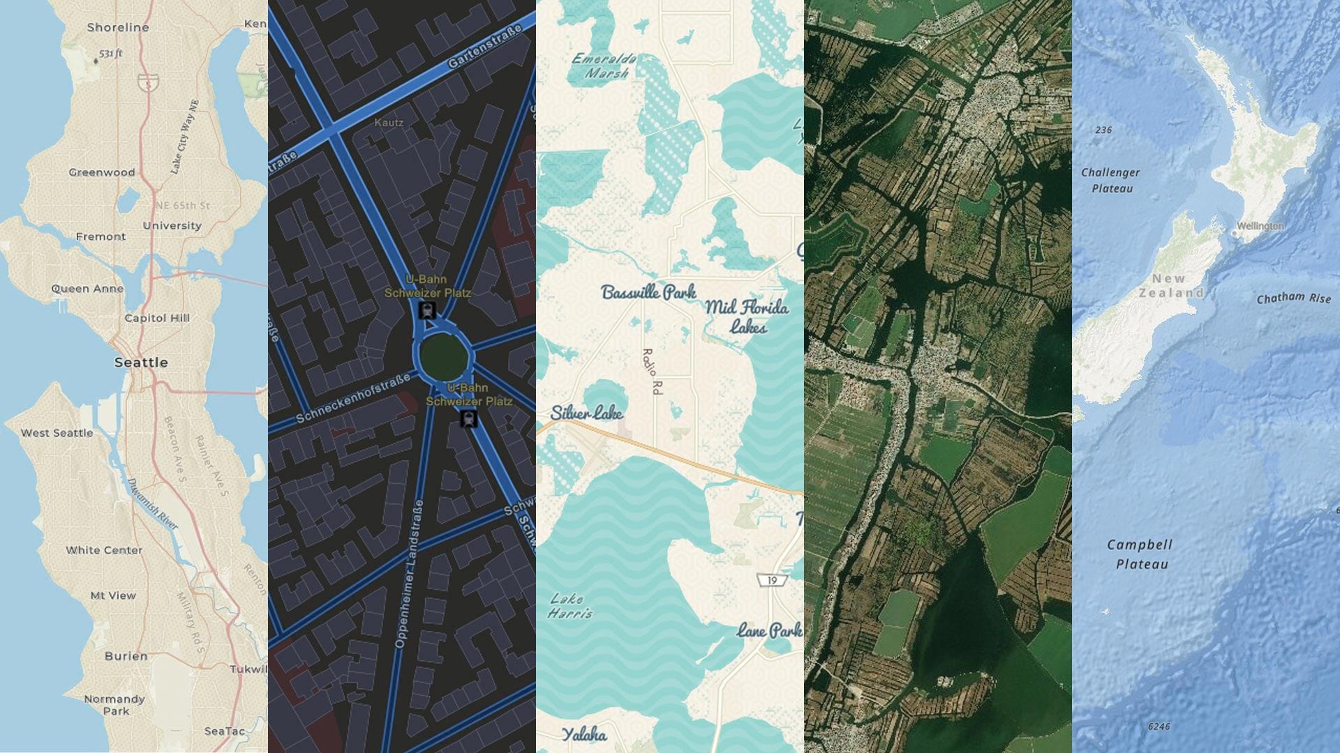
ArcGIS Online is deepening its use of ArcGIS API for JavaScript version 4.x, improving performance, 3D visualization, and more.
To make it easier to submit data to the Community Maps Program, Esri released the new Community Maps Editor app in beta.
With Data Appliance for ArcGIS, Esri users can protect their internal proprietary data by keeping it local—on their organization’s network.

Kuwait University is building a new campus: Sabah Al-Salem University City. GIS has been the backbone of the project since its inception.

For the 2019 Rose Parade, the Pasadena Fire Department relied heavily on ArcGIS technology, including the new Tracker for ArcGIS app.

To better respond to reports of illegal fireworks in Visalia, California, firefighters and police officers started using ArcGIS technology.