displaying 28 results
At the 2019 Esri User Conference, a range of users demonstrated how their GIS implementations work as an intelligent nervous system.

For the 2020 Census, the US Census Bureau has incorporated geospatial technology into every aspect of its design.

Esri joins GEO as Associate member, starts new collaboration with Mobileye, opens new R&D center, and gets ready for GIS Day!

Esri has a new massive open online course on offer—Spatial Data Science: The New Frontier in Analytics, starting in early 2020.

The World Geospatial Industry Council (WGIC) brings together the most respected leaders in the geospatial industry under one umbrella.

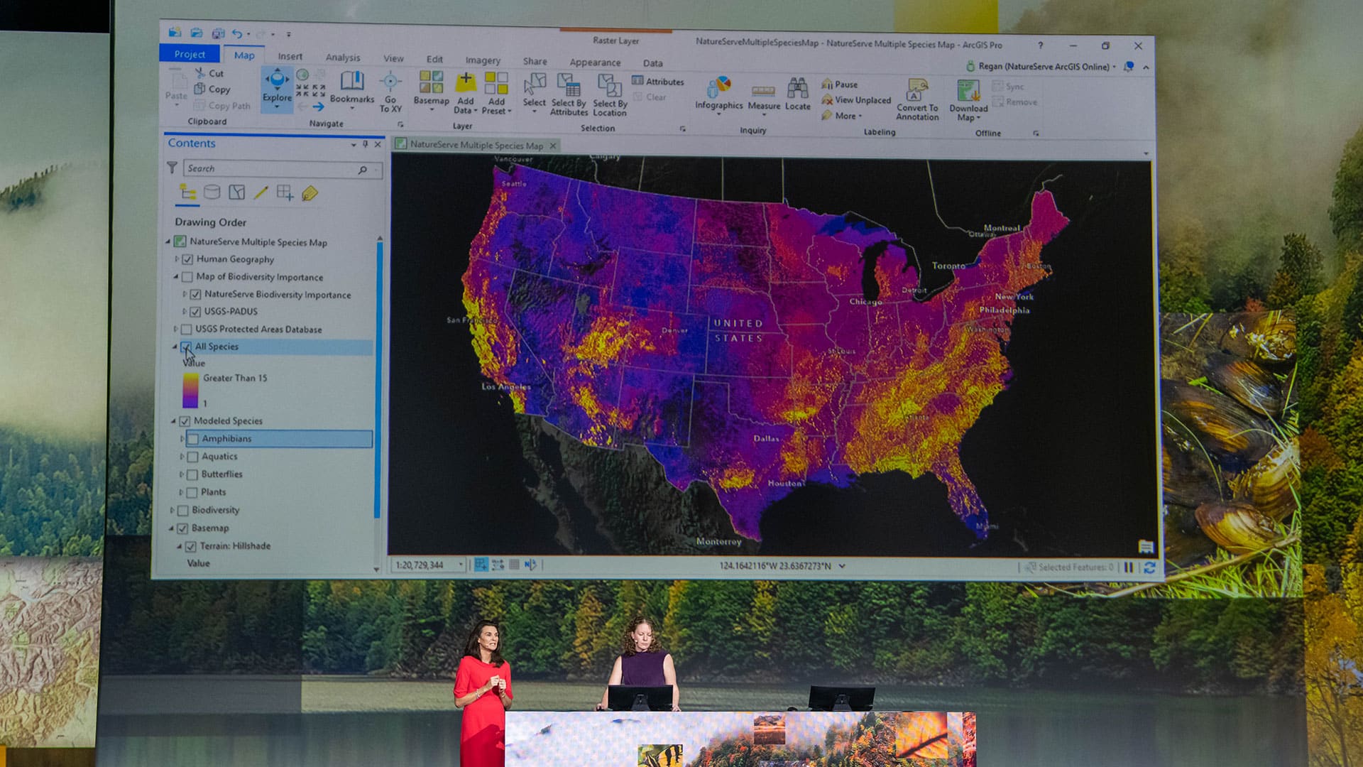
Esri’s goal is to make GIS accessible to everyone, and that comes down to good product design and user-friendly features.

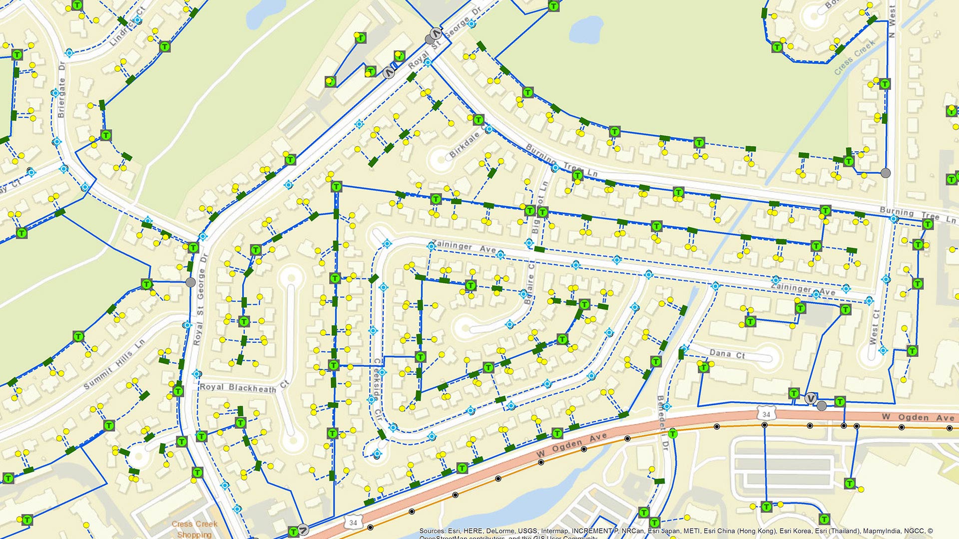
ArcGIS Online users have new ways to share interactive maps, transform data in ArcGIS Arcade, and update hosted vector tile layers in place.
ArcGIS Runtime SDKs 100.6 ushers in a track-focused road map for the developer technology centered this time on utilities and public safety.
Collecting imagery in Michigan is difficult. A cross-governmental, cloud-hosted approach helps the state and counties keep imagery fresh.

Want to know when the air quality’s too bad to exercise outdoors or where to get alternative fuel? The South Coast AQMD app does both.

Using ArcGIS QuickCapture, King County, Washington, gets improved information about invasive plants.

Geospatial technology helps the co-op provide members with insights into their businesses, trade areas, facility operations, and more.