displaying 28 results

In Queensland, Australia, a computer vision model was trained to automatically classify different types of land use.

A GIS platform that combines desktop, web, and mobile GIS apps is helping students across Singapore develop their spatial thinking skills.

Esri provides geospatial content to Salesforce Maps, expands its drone imagery offering, and helps Mozambique modernize land administration.

With ArcGIS Enterprise, Naftna Industrija Srbije has made many of its business processes easier and more efficient.

True North wants to show that, at a company level, it’s on the same page as Esri.

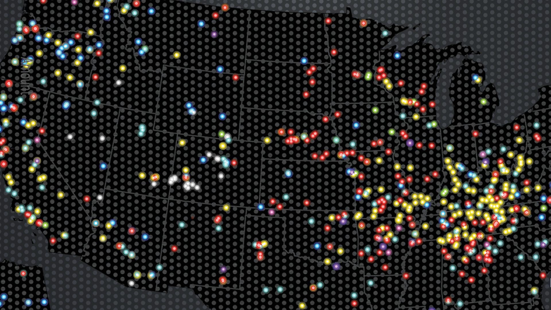
ArcGIS Analytics for IoT can help organizations use the big, real-time data generated by IoT devices to gain spatial insight and awareness.

The new Map Viewer Beta provides enhanced experiences for key map-authoring workflows in ArcGIS Online.

A recent update to Navigator for ArcGIS brings more location intelligence from the ArcGIS platform directly to drivers and field crews.
Tracker for ArcGIS is available in ArcGIS Online, allowing more organizations to bridge the gap between field personnel and office staff.
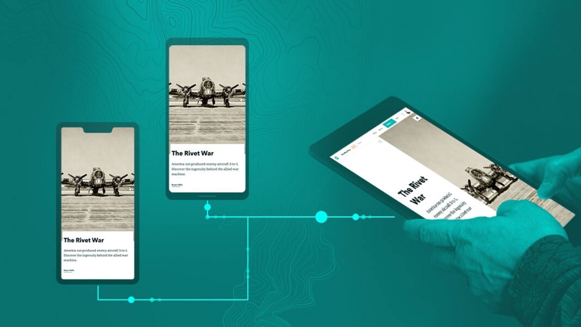
ArcGIS StoryMaps has several new features to help users design and tell their stories more creatively.
ArcGIS Maps for Adobe Creative Cloud Plus helps designers create exciting, map-based narratives that incorporate sharp design and branding.
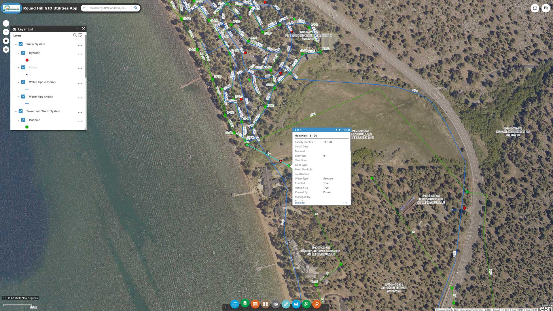
The two-person GIS team at Farr West Engineering modernized the company’s GIS and began leveraging distributed collaboration.