displaying 22 results

ArcGIS Platform provides a new option for developers to access powerful ArcGIS location services and high-quality geospatial content.

Founded in 1889, Carhartt has been making strategic use of GIS and its robust datasets to support sales and operations.
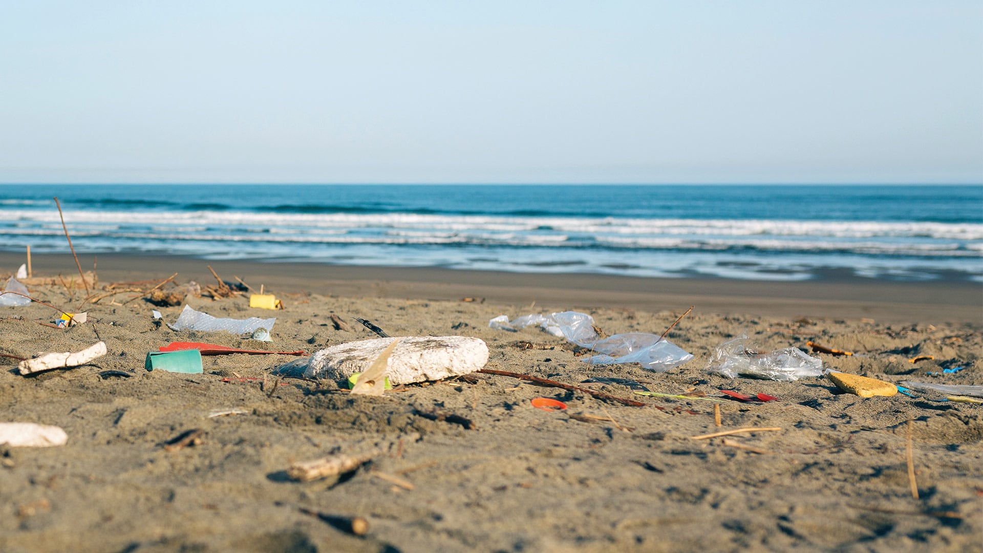
The San Francisco Estuary Institute worked with partners to develop an automated workflow for validating trash monitoring methods.

Scientists at the Stimson Center monitor the impact of hydroelectric power projects on the Mekong River in Asia.

Esri partner Epistemix helped the Riverview School District in Pennsylvania make better-informed policy decisions.
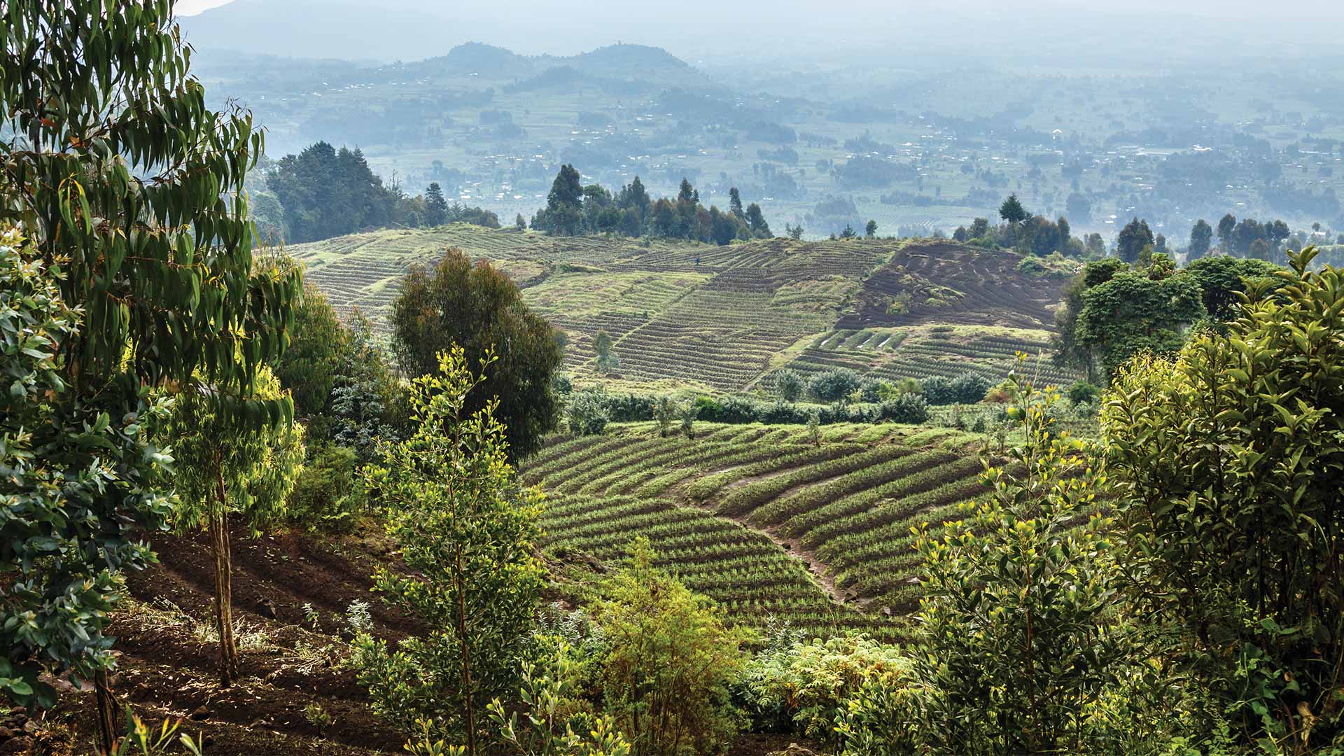
The latest release of the Land Administration Information System in Rwanda is transforming the way the country manages its land.

The government of Queensland, Australia, use ArcGIS AppStudio to help keep its residents and wildlife safe.

In 2014, the French government launched Nouveau Programme National de Renouvellement Urbain (NPNRU), its national program for urban renewal.

Clay County Utility Authority used ArcGIS Data Reviewer to improve quality assurance and quality control processes.
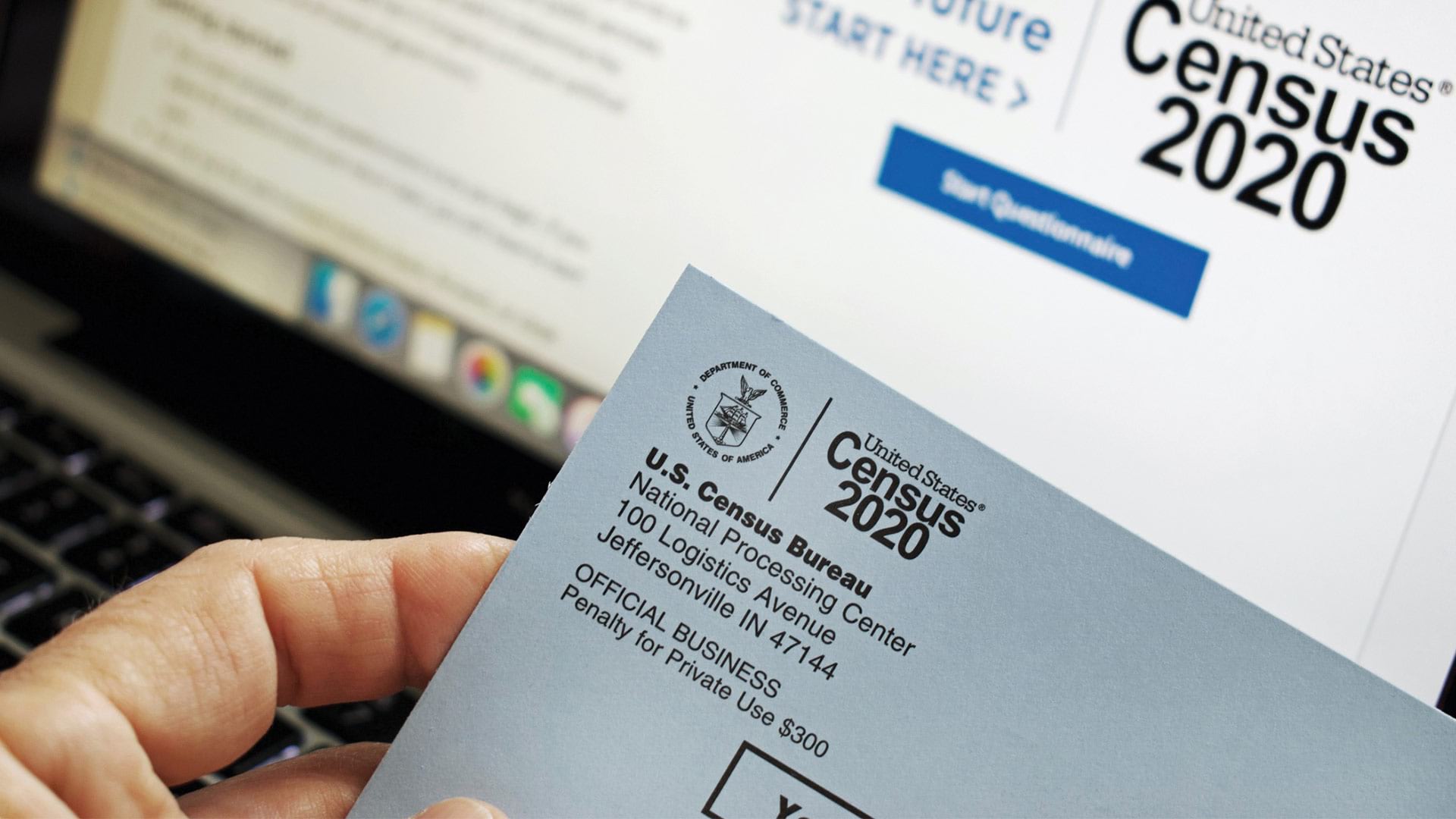
The US Census Bureau increased its paid media investment and adapted with targeted appeals to nonresponders due to COVID-19.
With GIS, Tim Prather found a powerful tool for making agriculture more sustainable, both environmentally and economically.

GI Learner is a program designed to help teachers instill geospatial thinking and GIS awareness in junior high and high school students.