displaying 25 results
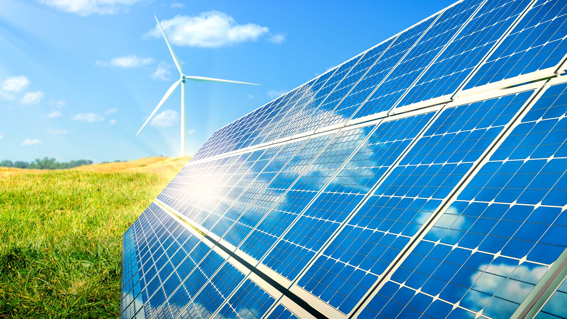
Wind and solar energy development is vital, but it needs to be done without harming wildlife. That’s where Site Renewables Right comes in.

The 2022 Esri Developer Summit was held in person for the first time in two years. It was exciting for attendees to be together again.

A new book details how the Jane Goodall Institute empowers communities to safeguard their natural resources—or risk losing them forever.

A new broadband solution aims to help close the digital divide, the latest American Community Survey data is ready to use, and more.
It is up to professional mapmakers to ensure the integrity of their maps and the underlying data.

Esri’s latest massive open online course helps architects, planners, and others understand the geographic context of construction projects.

Esri’s first direct-to-consumer product is ideal for creating travel journals, portfolios, virtual tours, and more. And it’s free to try!

Recent updates boost organizational efficiency, give mobile workers new field capabilities, and support integration with other technology.

It is the last release to support the publishing and consumption of services from ArcMap and has migration tooling to help with the change.
Learn how to build beautiful, informative maps with just a few clicks.
Leaders have instituted a geographic approach to implementing, monitoring, and analyzing USAID activities throughout the country.
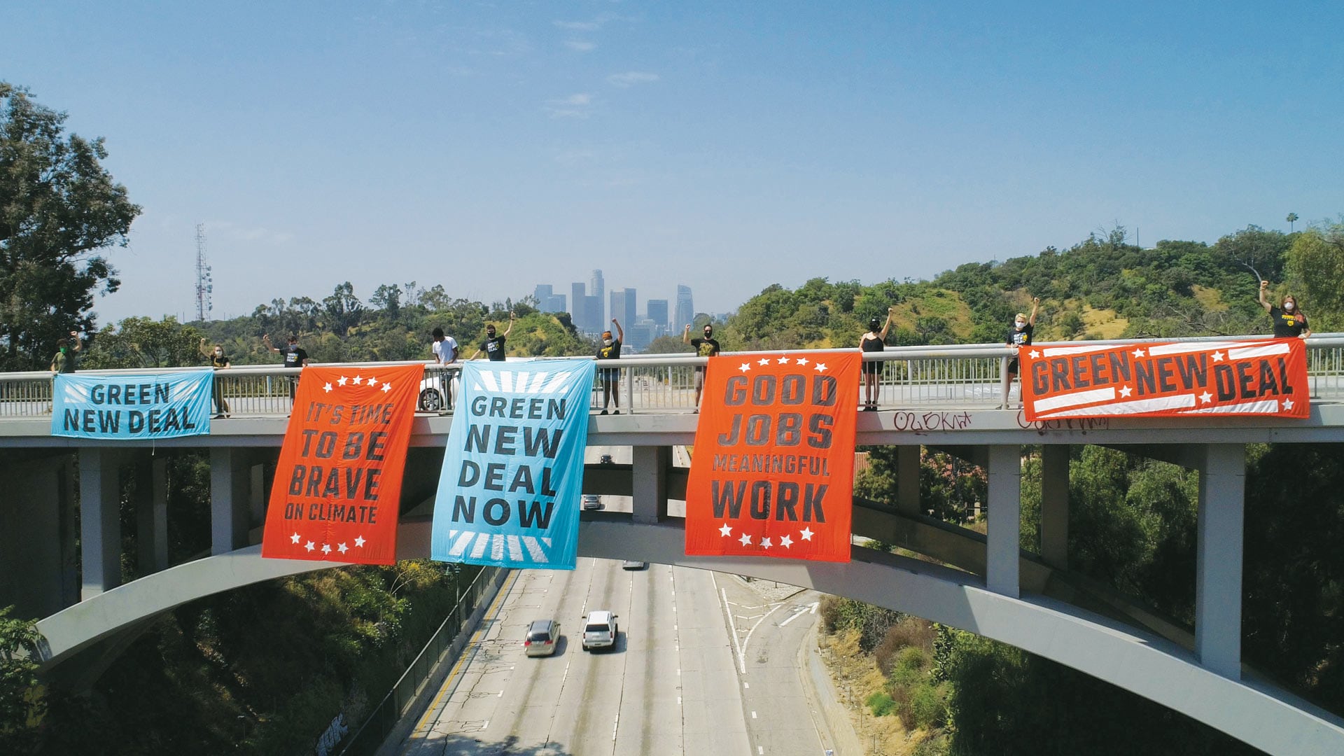
The movement gains momentum from in-person events, so activists started using ArcGIS StoryMaps in response to the COVID-19 pandemic.