displaying 21 results

For a team of archaeologists, GIS offers an effective way to collect data and quickly disseminate project findings in compelling formats.

During the baby formula shortage, Mothers’ Milk Bank used ArcGIS Business Analyst to engage with parents in need and find more donations.

The new World Terrestrial Ecosystems map is now available, and Esri was named a leader in understanding climate risk.

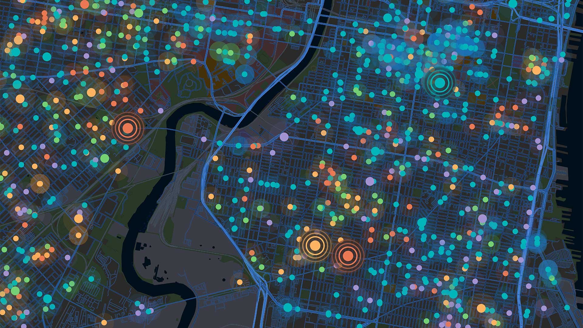
Using a custom web map to investigate illegal water connections, Maynilad Water Services has recovered $410,000 in commercial losses.

ArcGIS AllSource integrates disparate information sources to facilitate advanced analytics.
When presenting data to various groups, it may be a good idea to make different apps for different people. ArcGIS App Builders can help.
Find out how easy and inexpensive it can be to create maps and communicate data to stakeholders using ArcGIS Online.

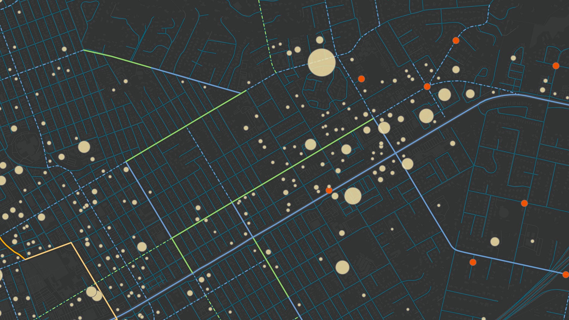
For utilities with robust GIS infrastructure, using ArcGIS Monitor to track system performance and resources keeps things running smoothly.
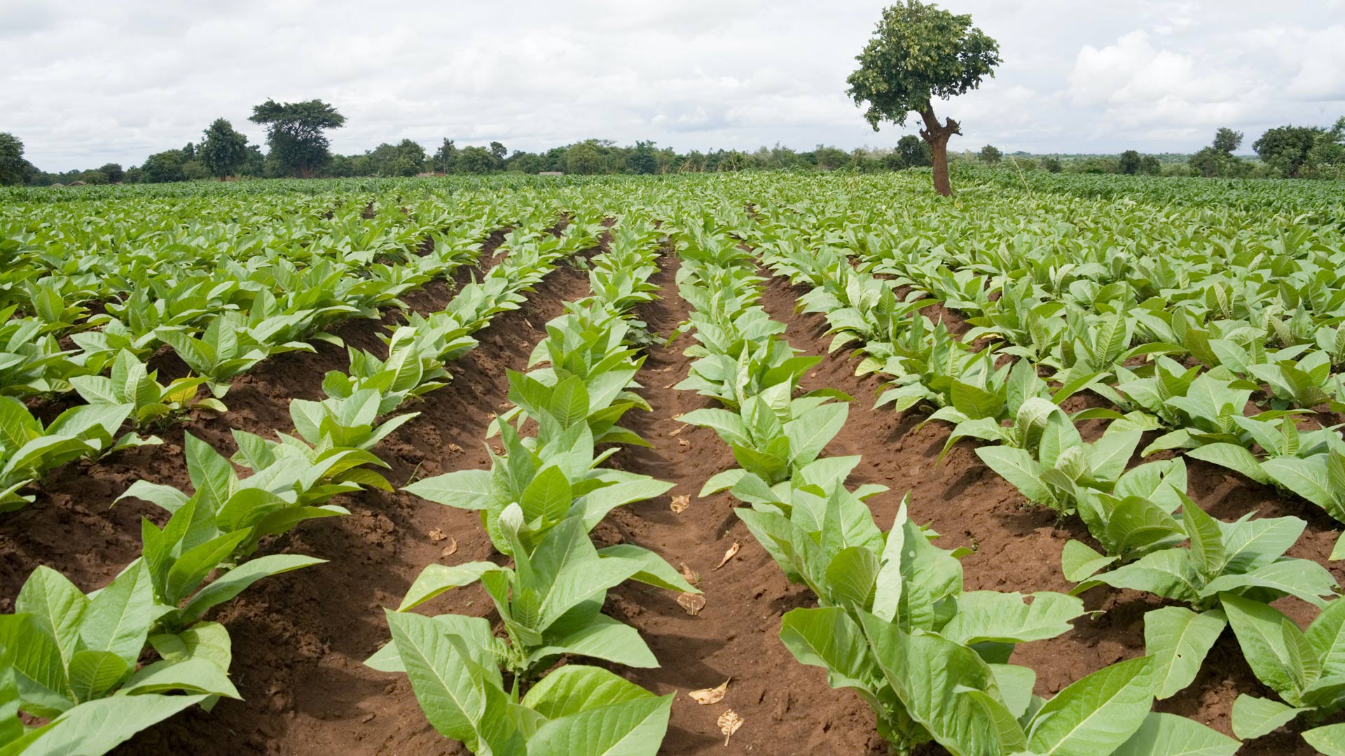
In Malawi, NASA Harvest used ArcGIS Survey123 to collect ground truth data on small farms. The results will help bolster food security.

A dynamic and interactive web app now educates visitors on critical issues and best practices.

A GIS-based system for conducting site suitability assessments is helping Indonesia determine the optimum locations for solar plants.

Bridging the gap between physical and human geography will better address climate justice—and improve climate science.