displaying 30 results

With the upgrade, Cyprus will get one of the most advanced, encompassing digital cadastral systems of the modern age.

At the 2018 Esri Developer Summit, attendees got to interact with new Esri technology and build important relationships.

Learn about the new Africa GeoPortal, how to access and use Sentinel-2 image services, and why Esri is considered a top midsize employer.

Esri and Alibaba Cloud are working together to ensure that their technology is interoperable.

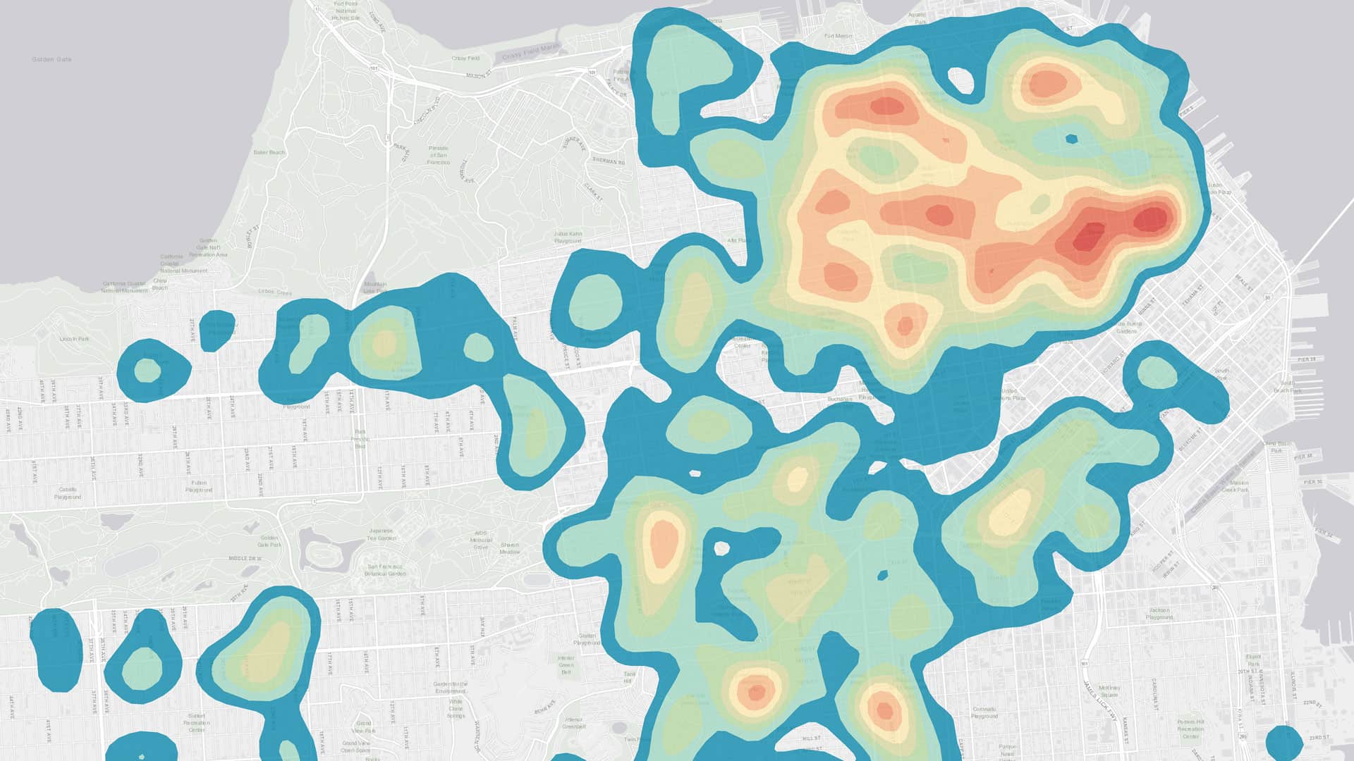
The April update to ArcGIS Online brings users a new configurable app template, improved 3D experiences, additional demographic data, and more.
ArcGIS Maps for Power BI makes it easy to create beautiful, accurate map visualizations within Microsoft Power BI.
ArcGIS Map Search, a new capability in ArcGIS Maps for SharePoint, makes it easier to map and search SharePoint content.

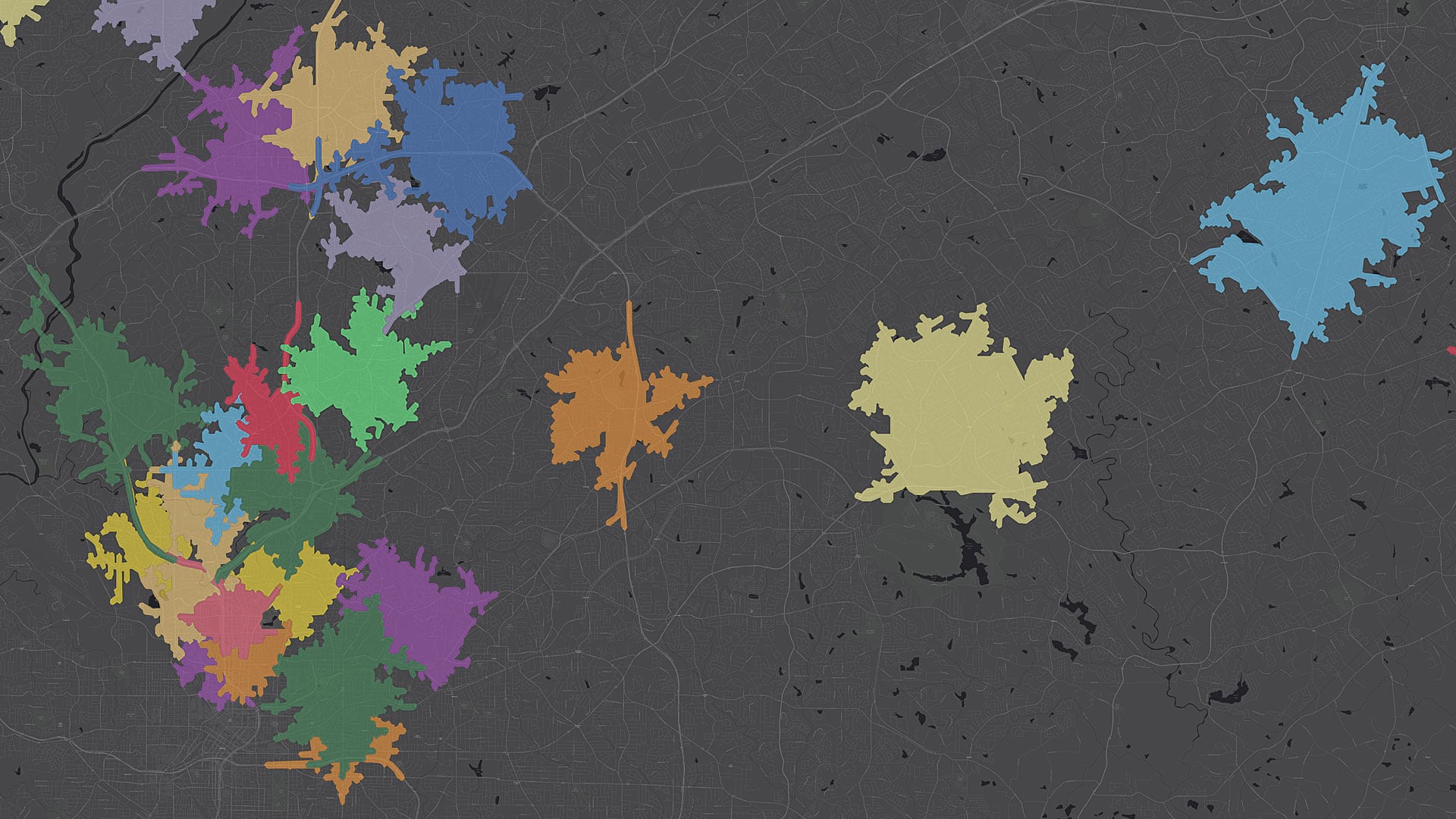
With the Esri Redistricting solution, the state made the process of revising legislative boundaries much more transparent.

Esri has been engaged with the water resources community for a long time—and now it’s possible to use GIS to forecast flooding.

When Hurricane Harvey made landfall in Texas last August, several agencies were already creating inundation maps thanks to work by UT and Esri.
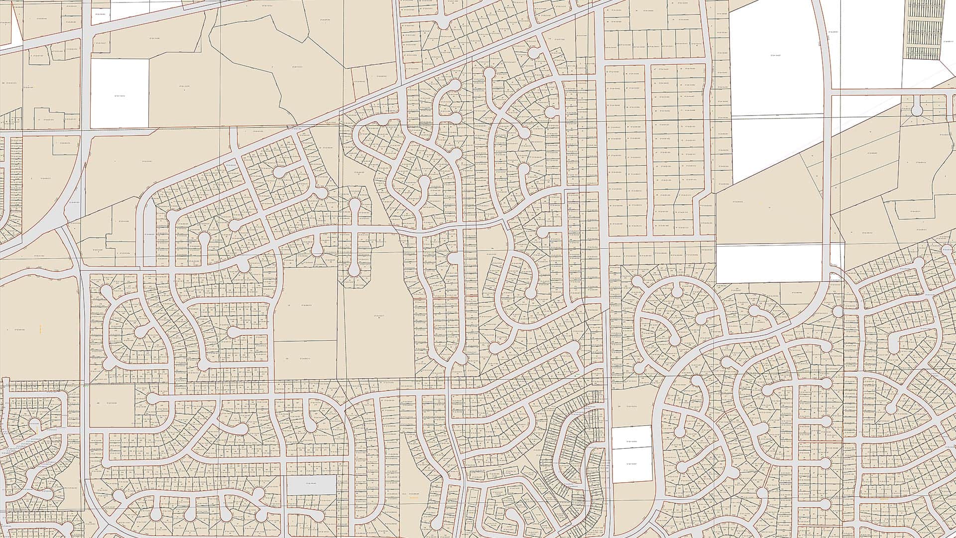
Using the Esri parcel fabric, Fauquier County, Virginia, now maintains its tax parcel data at a much higher level of accuracy than it did before.
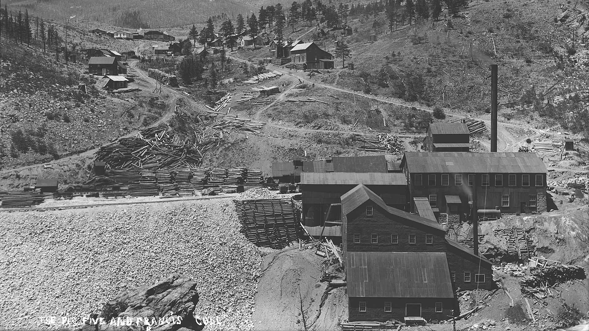
With lidar and ArcGIS Spatial Analyst, accurately documenting the archaeological elements at an old Colorado gold mining town.