displaying 21 results

Citizen Science GIS makes science more understandable and ensures society benefits from scientific discoveries.
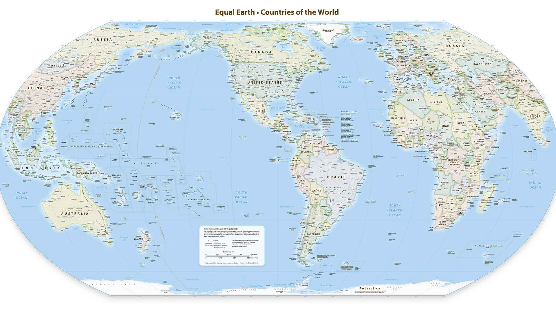
The Equal Earth projection as a pleasing small-scale, equal area alternative to the Gall-Peters projection for mapping.

Esri's Policy Mapping website gives every jurisdiction the opportunity to perform meaningful policy research.

ArcGIS Online organizational security settings now allow access only through HTTPS and standard SQL queries.

Named User levels in ArcGIS Online were transformed into User Types that tailer access to the needs of different users.

If you want a government program or project to be successful, securing executive support is vital.
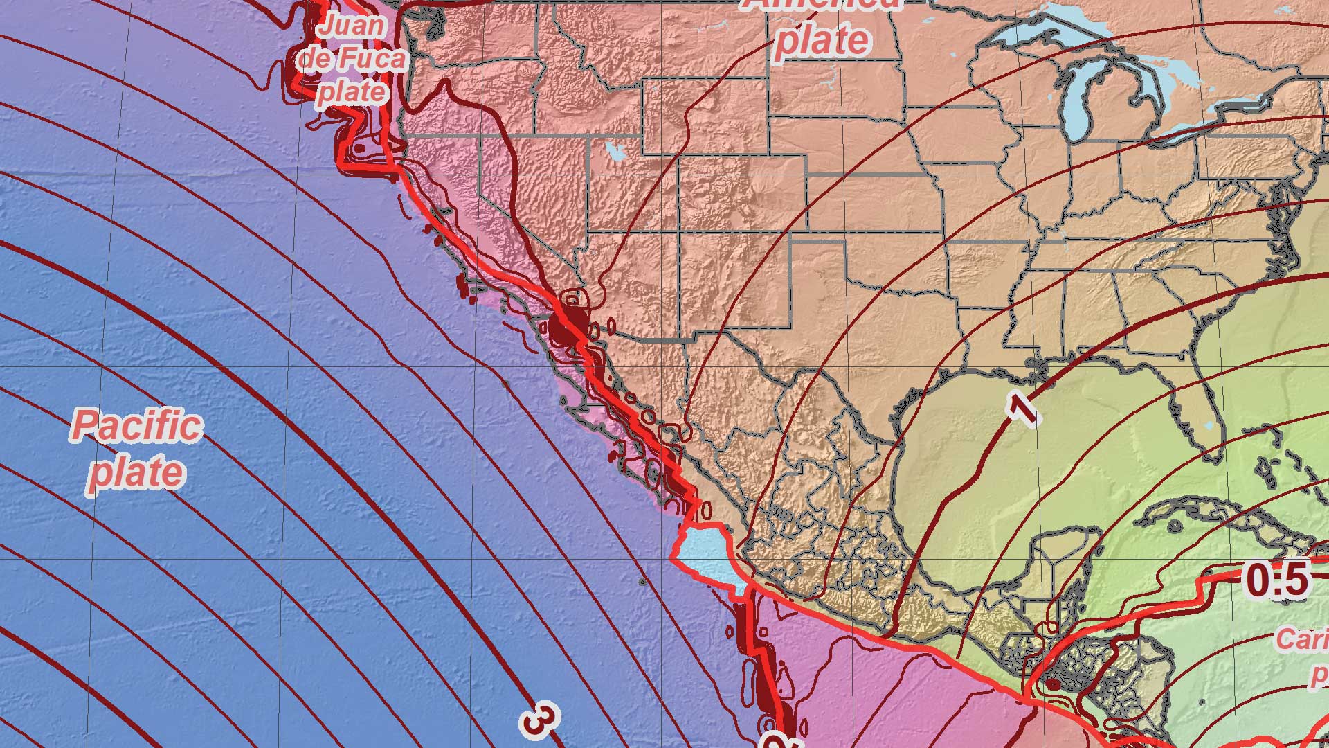
The National Geodetic Survey (NGS) is moving to nonstatic national datums in the United States.
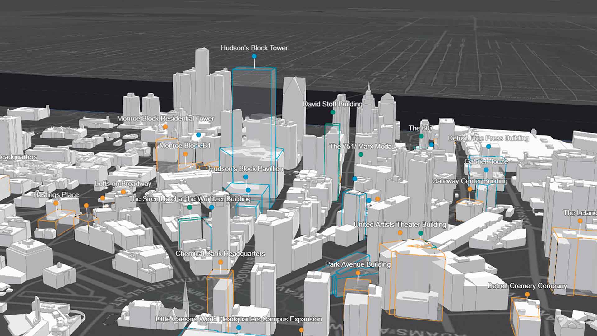
The Downtown Detroit Partnership (DDP) turned to 3D mapping to creatively market its metropolitan areas.

Using data science and the ArcGIS API for Python to find the perfect house.
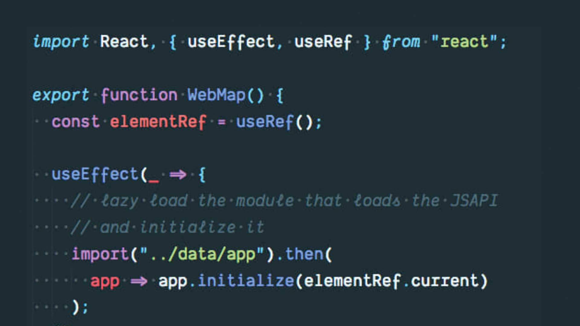
Learn how to use React with the ArcGIS API for JavaScript by examining a sample application.
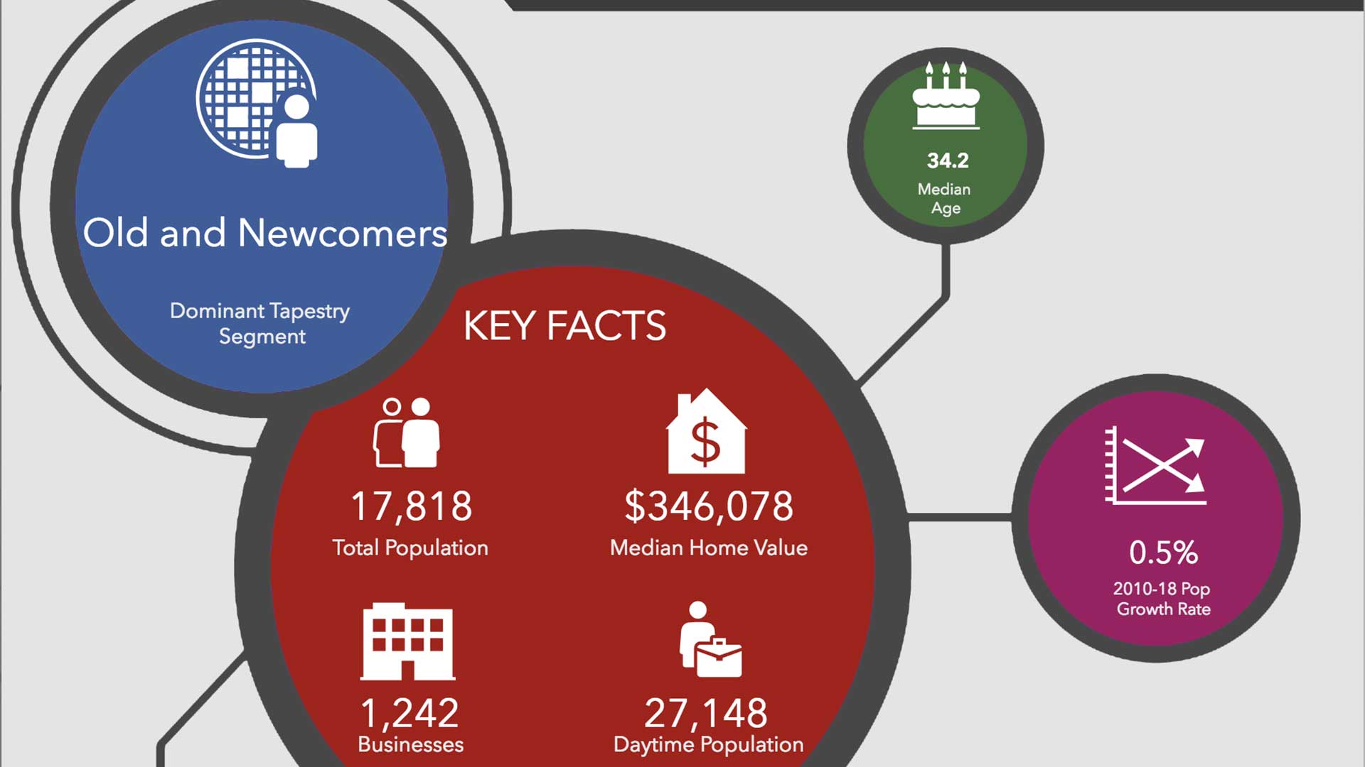
ArcGIS Community Analyst's library of professional infographics improve the way you tell your community's story.

Recreate the planning and presentation maps used by Graham Fire & Rescue to obtain a $3.5 million grant.