displaying 26 results
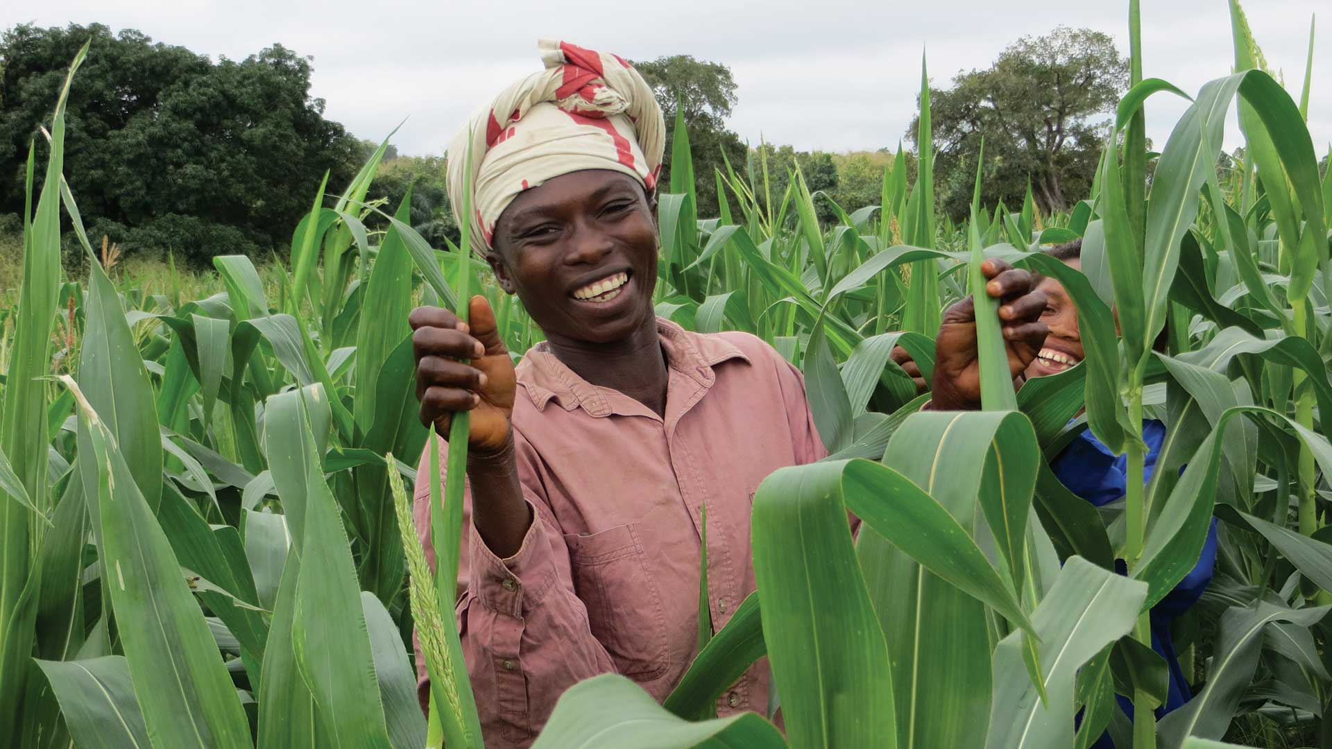
An economic development nonprofit organization uses ArcGIS to better understand and optimize agricultural value chains.

Esri is refocusing the conversation around smart from vague promises to a specific geospatial strategy that can deliver the results.

Amsterdam Airport Schiphol built a digital asset twin of the airport to run simulations and save time and money.

Renown entomologist Edward O. Wilson has shifted his research focus from ants to ecosystems.
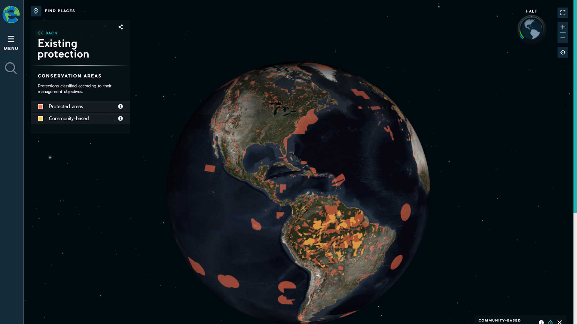
The Half-Earth Project, an initiative of the E.O. Wilson Biodiversity Foundation, advocates conserving half the earth’s lands and seas.
A digital twin can accelerate innovation, build consensus, and save time and money.

There is incredible value in innovating with analysis and visualization using Dashboard for ArcGIS and ArcGIS Insights.
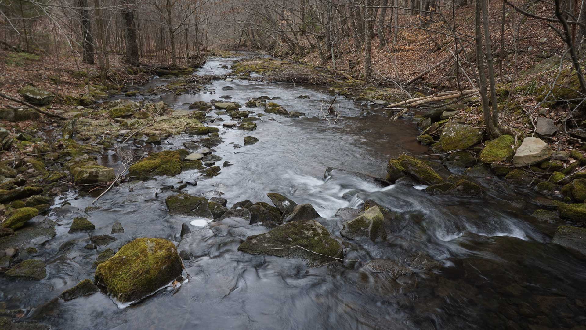
Pennsylvania plants trees precisely to maximize water improvement using GIS.

Save yourself unnecessary effort and get proven results with ArcGIS Solutions.
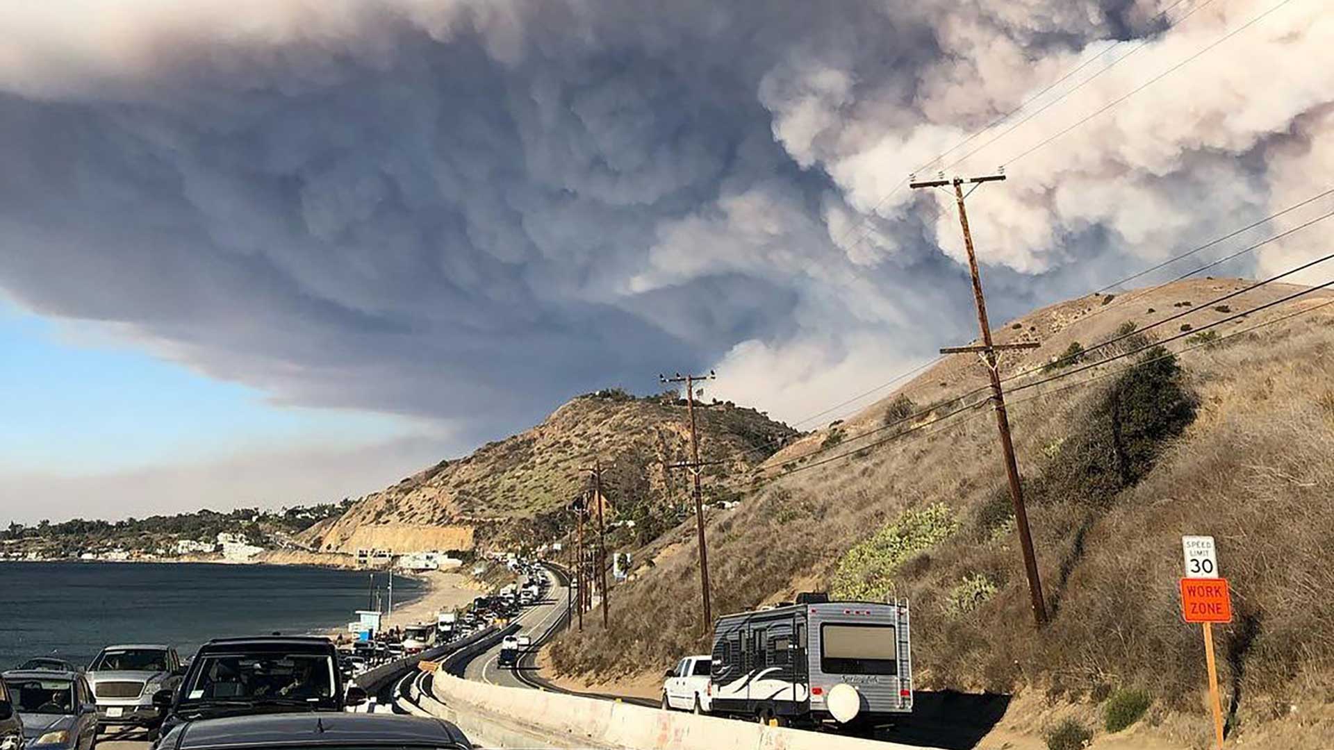
The deep learning, imagery, and data enrichment capabilities in ArcGIS can improve damage assessment to speed insurance claims.

Spatial Data Science: The New Frontier in Analytics, a new Esri MOOC, teaches how to use spatial data, tools, and methods.
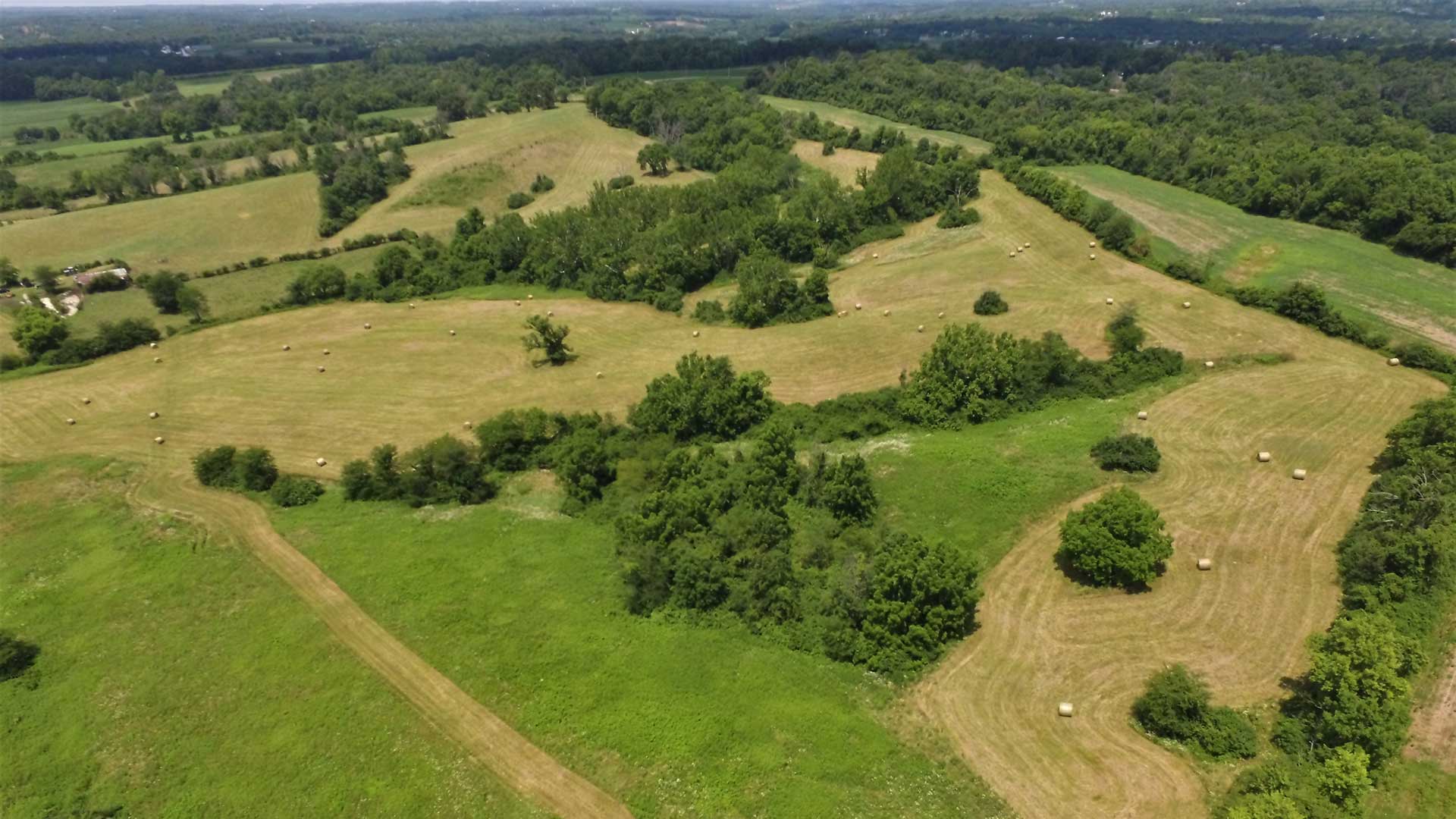
Nonprofit land trust organizations implement environmental planning using conservation strategies such as conservation easements.