displaying 25 results

Habitat Info launched a charitable citizen science project to collect data on the conservation status of African raptors.

ArcGIS helps Feeding America food banks meet the needs of food insecure people across the United States during the COVID-19 pandemic.
The world has run up against the hard truth that the world is a very interconnected place. Table of contents for this issue.
The Resilient and Connected Network, an ambitious GIS mapping tool developed by The Nature Conservancy helps conservationists save biodiversity.

The effects of unequal access to broadband internet have been exacerbated by effects of the COVID-19 pandemic on some populations.
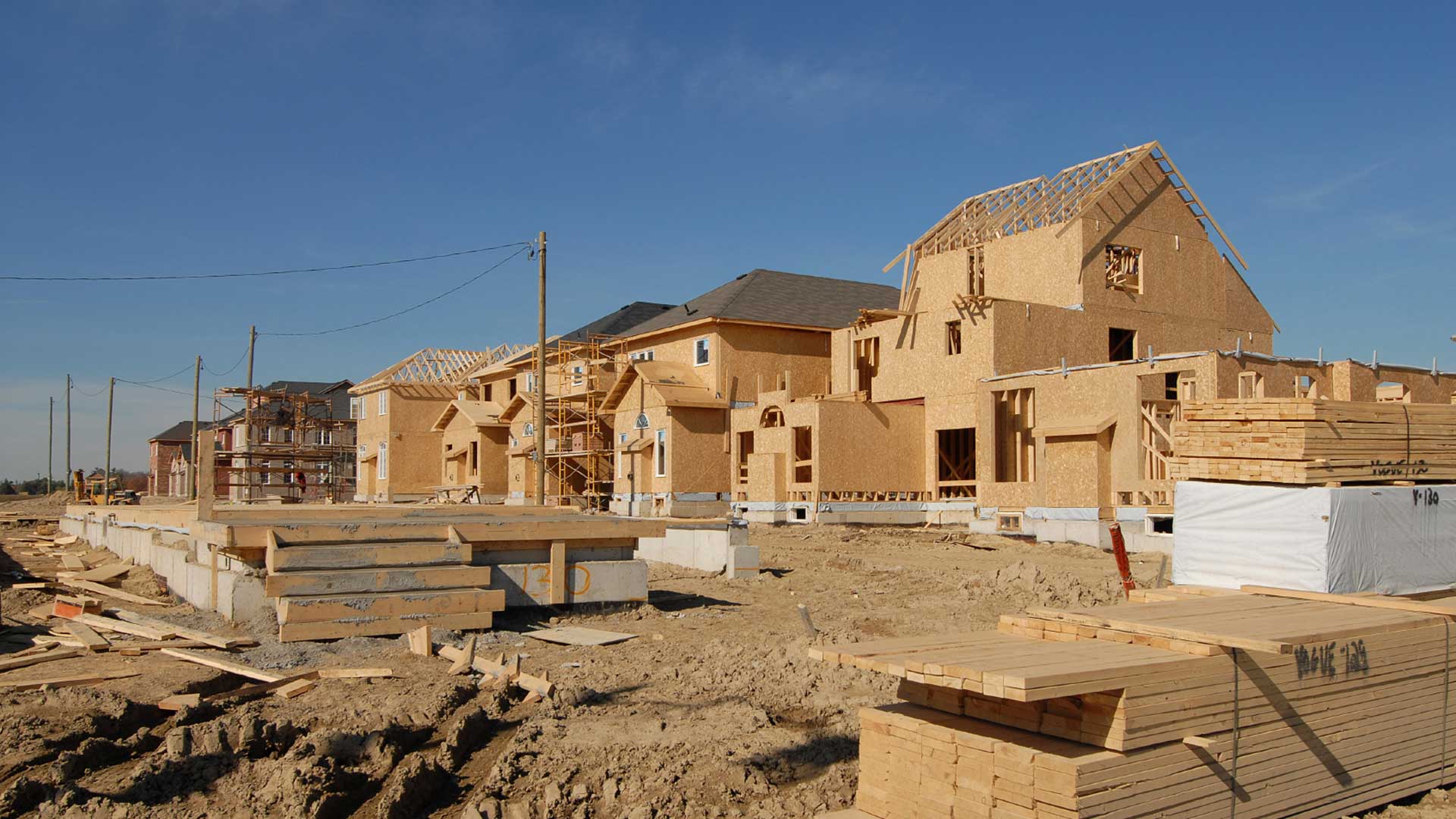
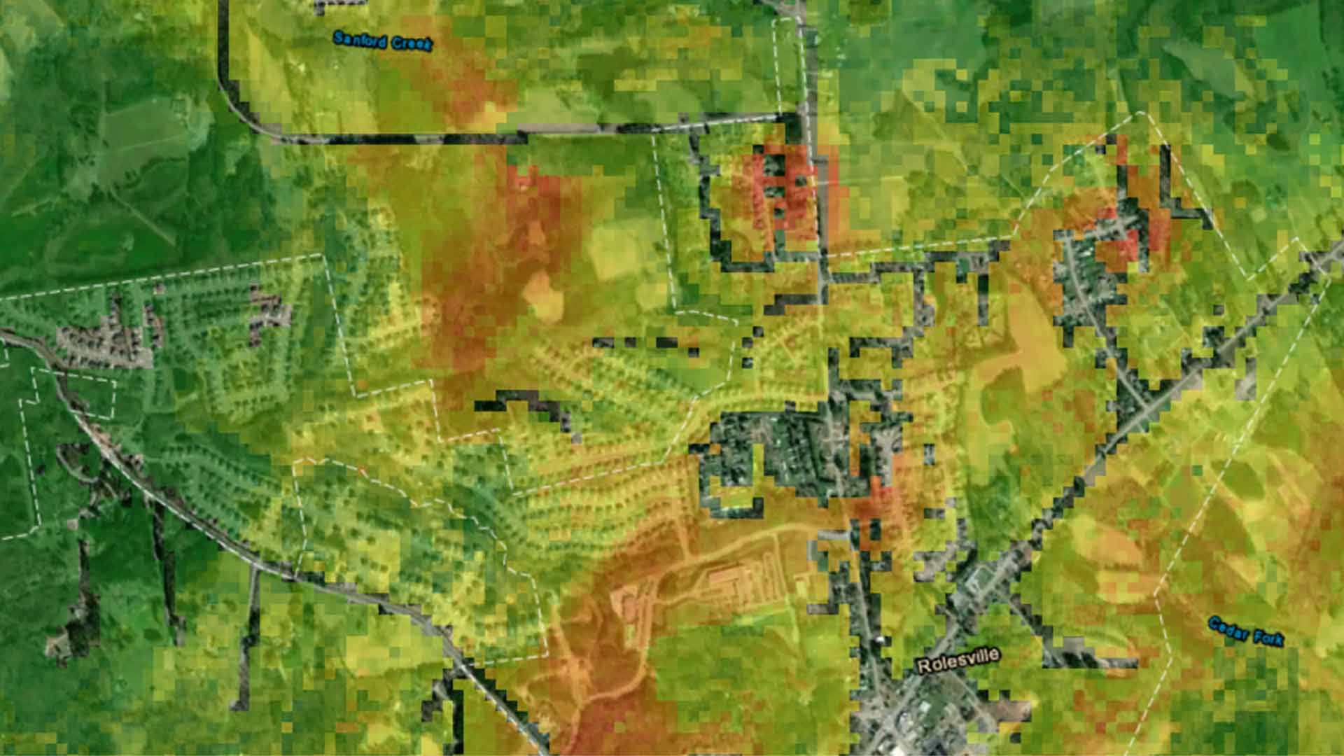
Any conversation that planners and administrators have today about community resilience has to include a sustainable housing policy.

The Southern California Association of Governments (SCAG) launched an ambitious cross-jurisdictional mapping initiative.

ArcGIS Pro 2.7 supports device location, mobile geodatabases, layer and feature blending, and other enhancements.
Esri makes ready-to-use geospatial artificial intelligence models available in the ArcGIS Living Atlas of the World.
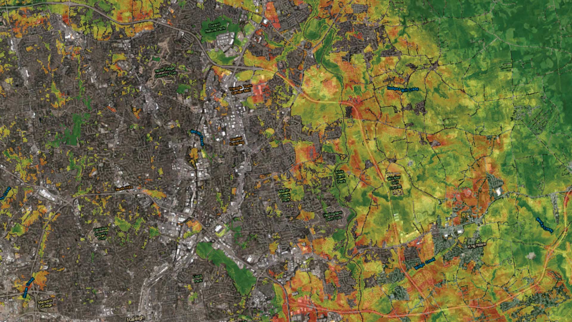
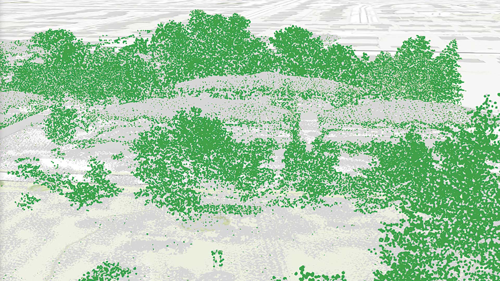
An urban growth prediction model empowers city planners and other to make informed urban policy decisions.

To understand Random Forest models, an explanation of a Decision Tree classifier is a good starting point.

ArcGIS Maps SDK for Unity and ArcGIS Maps SDK for Unreal Engine enable direct access to ArcGIS data and operations within a game engine.