displaying 17 results

The city of Thornton , Colorado, switched from paper forms to ArcGIS to document, manage, and analyze data on sign violations and other issues.

Esri technology evangelist Bern Szukalski shows you how to add and use photos and other images in ArcGIS Online,
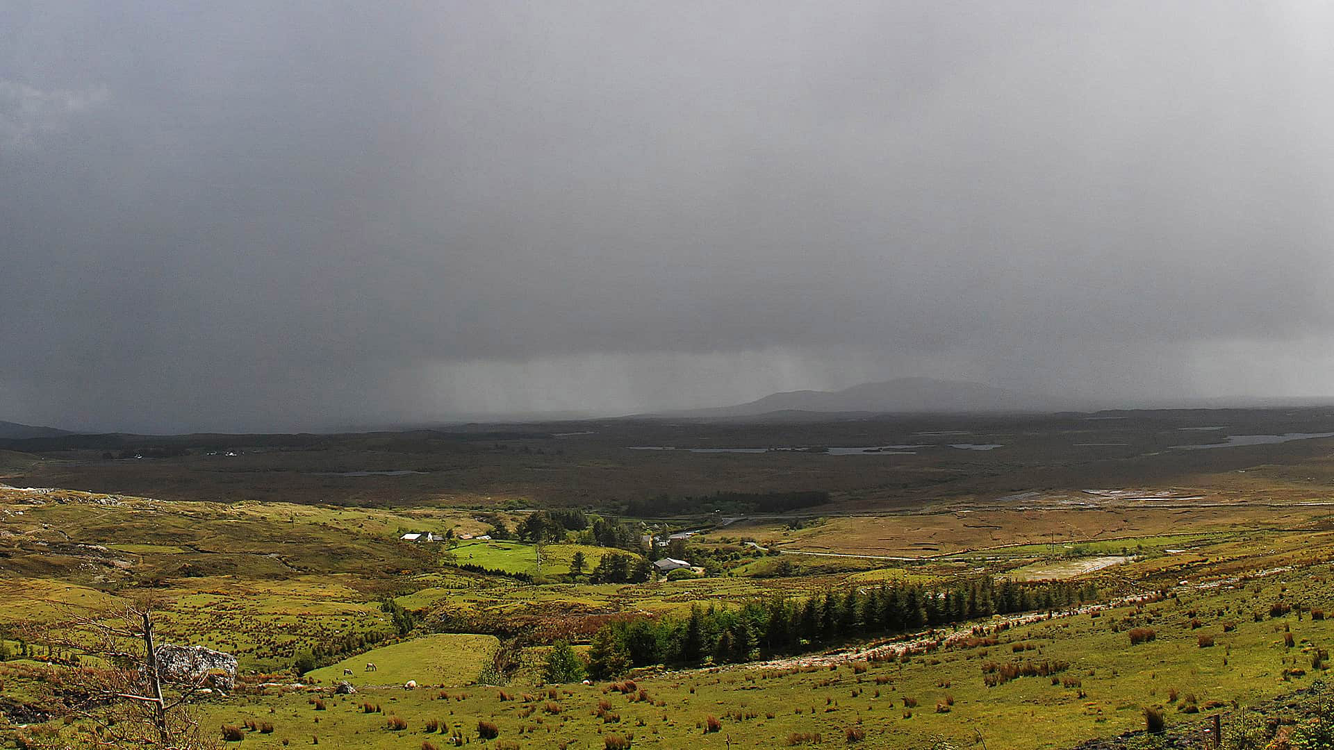
The Cork County Council in Ireland uses ArcGIS Online to monitor traffic and infrastructure problems during severe weather.
From chronicling political meet and greets to creating wedding invitations, Esri's Bern Szukalski shows you 19 novel ways to use story maps.
Esri's Andrew Skinner created an eye-popping story map about 100 significant 1960s events using the new Pop Art vector basemap.
Steve McCulla from Belron, a business with brands such as Safelite AutoGlass and Carglass, shares a story of how the company uses GIS.
Location intelligence answers the where questions and the who, what, when, why, and how much questions.
Story Maps Labs offer inspiration with innovative examples of custom story maps created by the Esri Story Maps team.

Mark Gallant, founder of EntertainMaps.com, shares a tip on how to use firefly symbology from Esri to make custom point symbols on maps.
This tutorial will show you how to perform a suitability analysis to create a web map of flood risk.
John Gravios and Patrick Arlt from Esri offer a GitHub overview and show you how to get the most out of the development platform.
Turns out that was. Watch how Esri data and technology were used to analyze the Washington, DC, area's suitability as an Amazon headquarters.