displaying 17 results
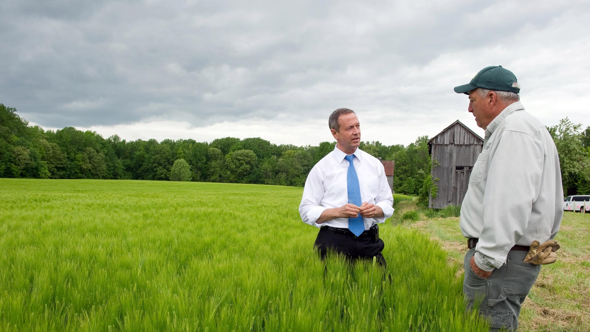
In his new book Smarter Government, former Maryland governor Martin O'Malley explains the role of GIS in good governance.

USGS Historical Topographic Map Explorer app was recently updated to give you the ability to save historical topographic maps to ArcGIS Online.

The 2020 Geodesign Summit, which will be held February 24-27, in Redlands, California, will showcase interesting geodesign projects.
Dominik Allemann with Esri explains the differences between the projects workflow and the plans workflow in ArcGIS Urban.
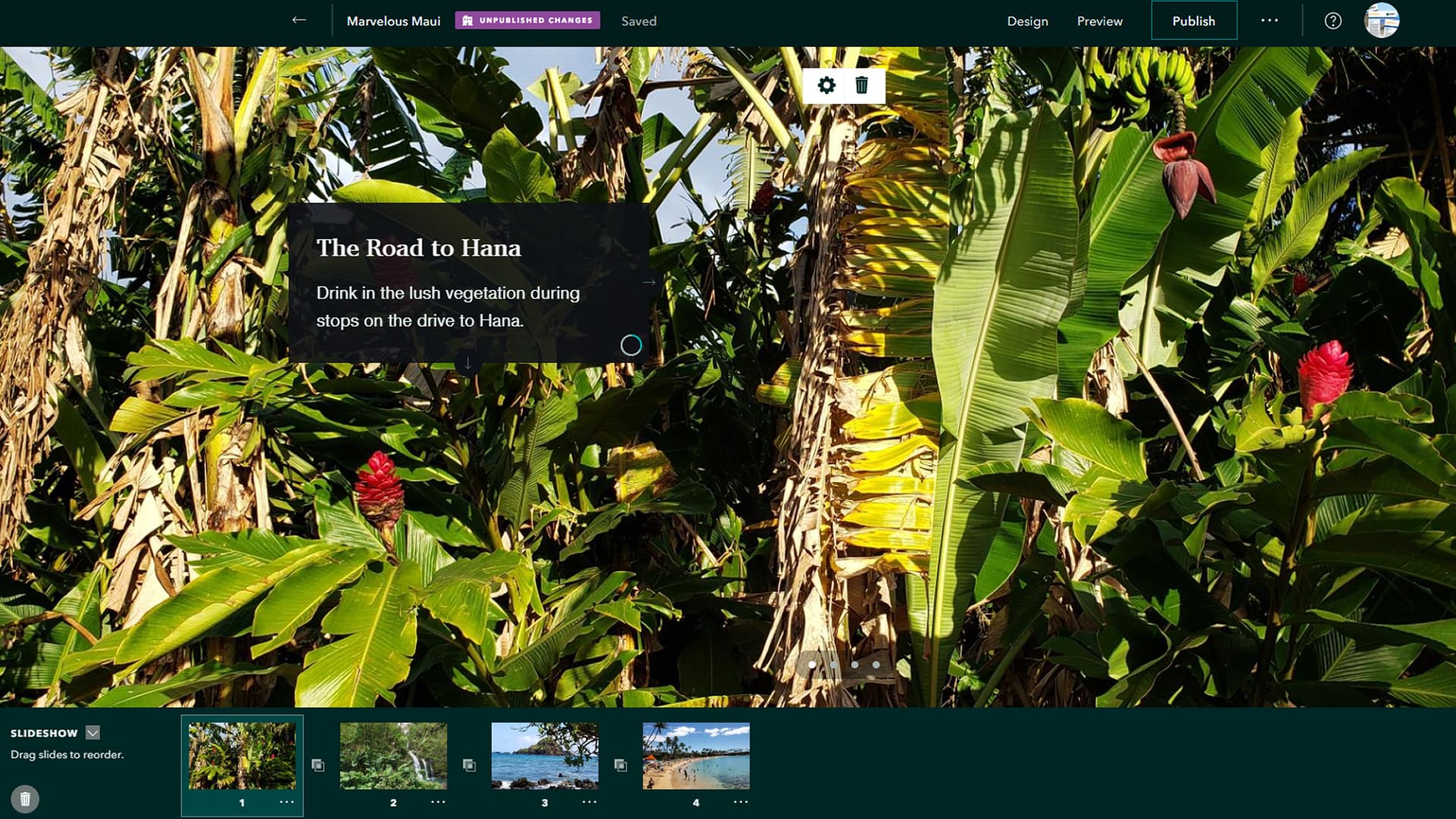
Design, tell, and display your stories more creatively with the new ArcGIS StoryMaps app tools such as slideshow, collections, and autoplay.
The US Census Bureau used GIS to develop a web mapping app that identifies areas with households typically hard to count during the census.
What GIS apps do fire agencies need to plan for and respond to incidents and then analyze performance?
Live feed layers available from ArcGIS Living Atlas of the World offers fire departments and other organizations useful information during fires.
John Nelson from Esri shows you how to use ArcGIS Pro to give cluttered-looking coastlines on a small scale map a more elegant appearance.
Learn to use analytical tools in ArcGIS and integrate popular open data science packages into analyses in an Esri Massive Open Online Course.
Compare map layers or view what’s underneath a layer using the new Swipe widget available in the new release of ArcGIS API for JavaScript.
A story map by Cooper Thomas of Esri delves into where our planet's seven billion people live and their impact on the land, sea, and air.