displaying 17 results

A cycling organization in Québec, Canada, maps mountain bike trails using ArcGIS QuickCapture and GNSS receivers from Eos Positioning Systems.
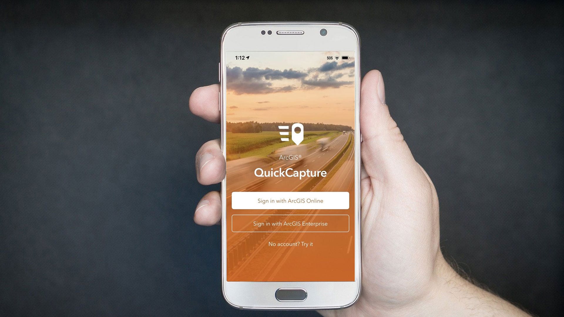
Get started using the new ArcGIS QuickCapture app by following a few simple steps.
Tracker for ArcGIS helps organizations keep better track of fieldworkers, making the workforce more agile and speeding response times.
During snowy, windy and icy conditions, it’s best to turn to these five weather maps, available in the ArcGIS Living Atlas of the World.
Ron Jarmin, deputy director of the U.S. Census Bureau, explains the importance of the decennial census and how GIS plays a crucial role in it.
Waterford City and County Council in the Republic of Ireland makes extensive use of Esri ArcGIS technology.
Santa Margarita Water District in California uses GIS to operate in a cost-efficient manner and boost water conservation.
There's still time to sign up for an ArcGIS User Seminar in many areas of the United States.
See what's new in the latest release of ArcGIS QuickCapture.
Learn about the latest improvements to Scene Viewer, which gives you the ability to author realistic and beautiful 3D scenes in applications.
In this one-minute map hack, John Nelson from Esri teaches you how to add elevation hillshade to your map without washing the colors out.
Port of Rotterdam is undergoing a major digital transformation as it faces a future of handling larger and more automated cargo ships.