displaying 17 results

You can find authoritative geospatial data on North Carolina at NC OneMap, a portal created using ArcGIS Hub.
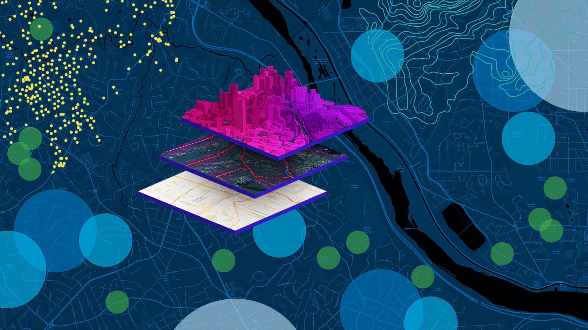
When you create a new map using ArcGIS Online, you can choose which basemap you want from the basemap gallery.
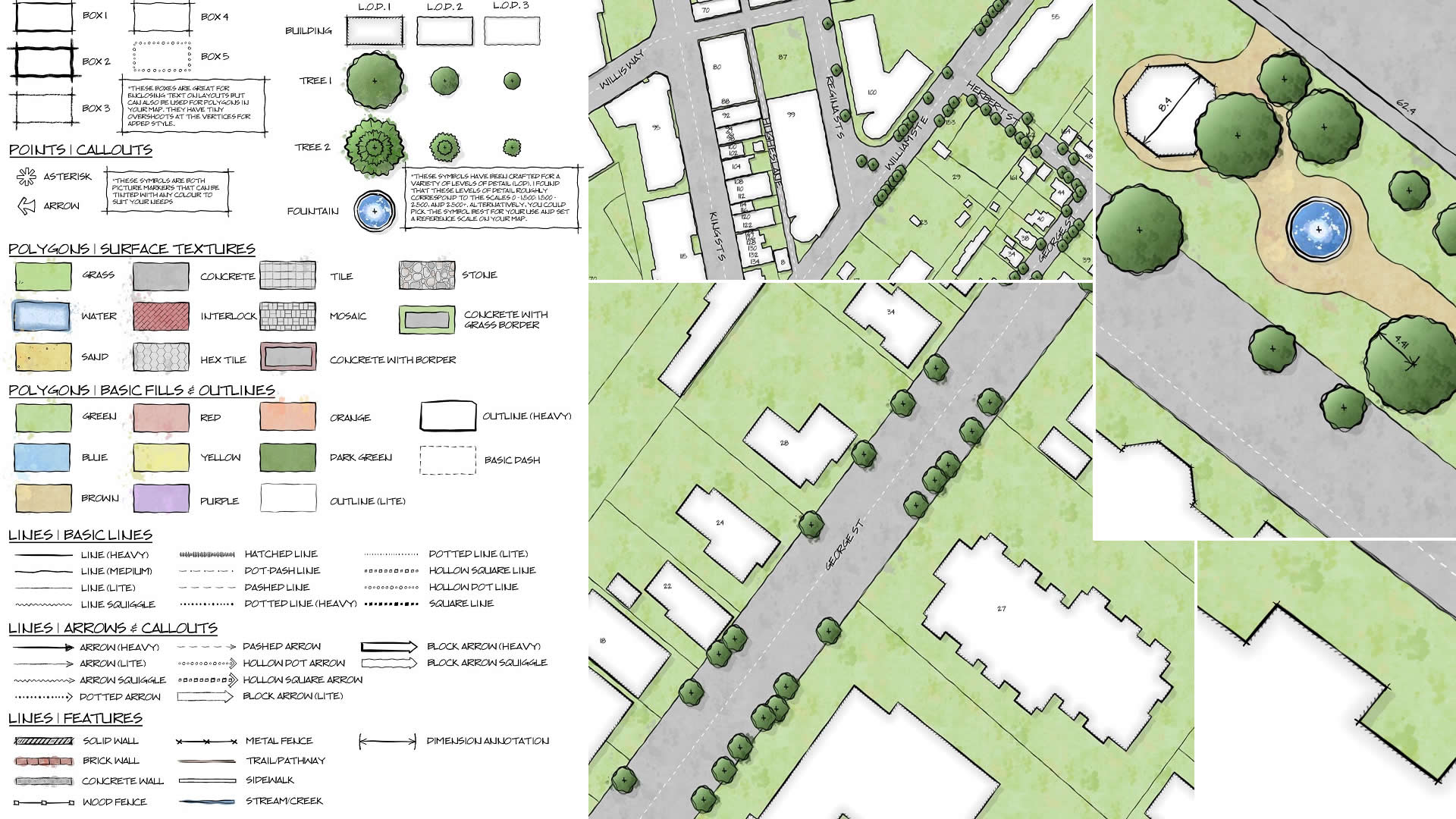
GIS analyst Warren Davison of Ontario, Canada, created Draft Sketch, a very artistic n ArcGIS Pro style for landscape design and site planning.

Creative thinkers find new ways to use ArcGIS Dashboards, such as the Real Estate Sales Dashboard from the Franklin County Auditor in Ohio.

Esri technology evangelist Bern Szukalski shows you how to build your first web experience with ArcGIS Experience Builder.
Robert D. Sharp, director of the NGA, speaks about his agency's roles, goals, and challenges with Esri' president Jack Dangermond.
The United States Department of Agriculture is using artificial intelligence, machine learning, and GIS to help farmers boost production.
Find out what ArcGIS Experience Builder can do.
Learn to use the erase geoprocessing tool in ArcGIS Pro and data from ArcGIS Living Atlas of the World to make a map of your area of interest.
Esri cartographer John Nelson demonstrates how turn custom graphics into symbols for your maps in both ArcGIS Pro and ArcGIS Online.
Carry digital maps anywhere by taking your web maps offline in Explorer for ArcGIS on Android, iOS, or Windows 10 devices.
Cases of Lassa fever in Nigeria are being tracked using a dashboard created with ArcGIS Dashboards by Sambus Geospatial Nigeria Limited.