displaying 17 results

The State of Maryland used ArcGIS Hub from Esri to share information with residents about the COVID-19 pandemic.

Create maps that represent individuals, houses, or anything else you can count, with the dot density mapping style in the Map Viewer beta.
The Esri Disaster Response Program (DRP) offers technical support, data, and GIS solutions to organizations responding to the COVID-19 pandemic.

More time to read now that you telecommute? Pick up a copy of Python Scripting for ArcGIS Pro, or one of seven other new books from Esri Press.
Esri president Jack Dangermond will host a virtual Esri User Conference from July 13-16, 2020.
The GIS community’s phenomenal work supporting the response to the COVID-19 pandemic is showcased in a new ArcGIS StoryMaps app.
Esri chief scientist Dawn Wright is interviewed about Earth Day, oceans, and how the COVID-19 pandemic may affect environmental policies.
Federal GIS work was showcased at the 2020 Esri Federal GIS Conference, and the US Forest Service received the Making a Difference award.
Esri technology evangelist Bern Szukalski offers several tips on how to properly find and use images in your stories.
Esri product engineer Jason Hine explains the app development basics for ArcGIS Indoors, Esri’s indoors mapping system.
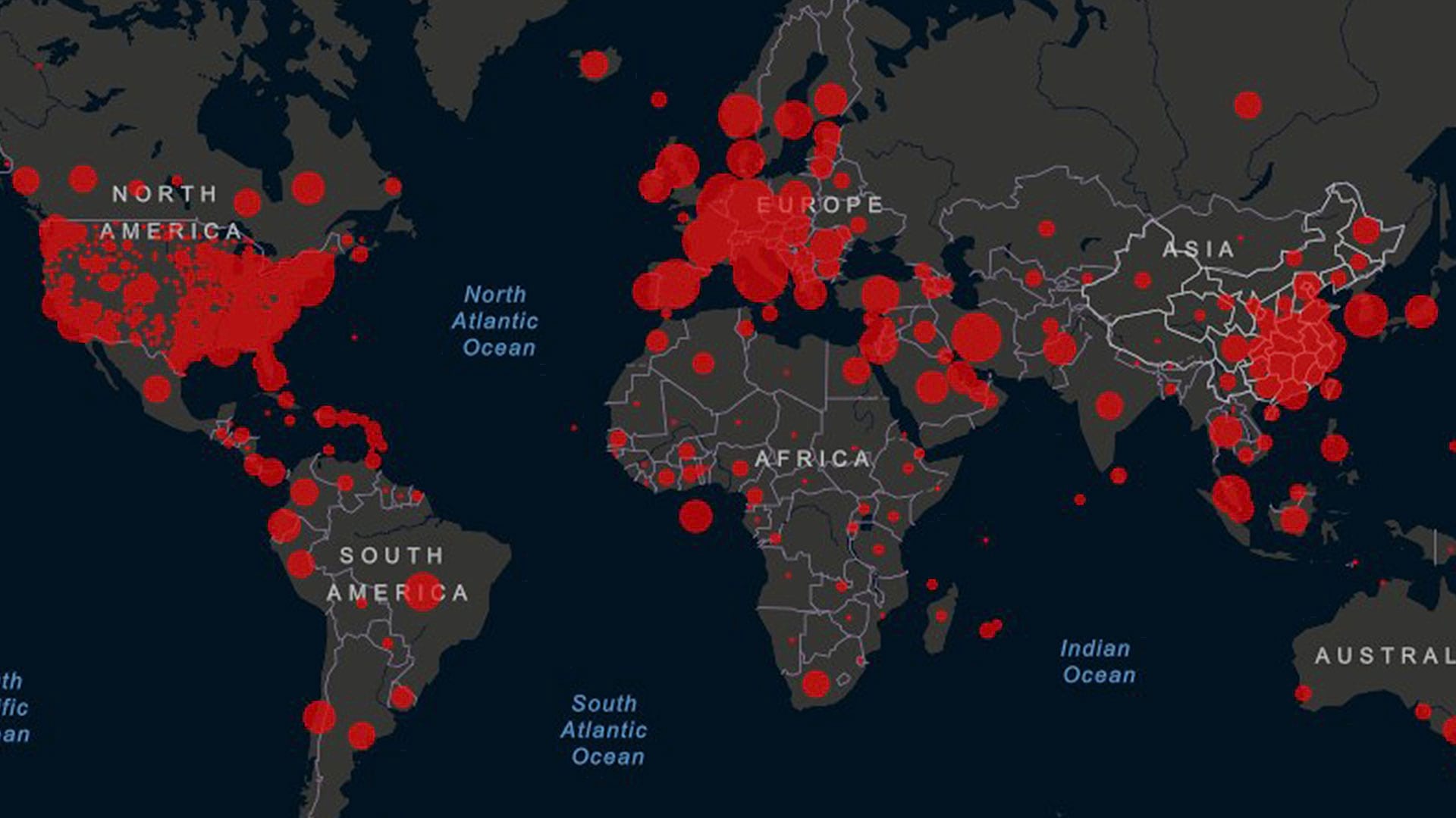
Jim Herries, principal product engineer for cartography at Esri, shares cartographic tips for improving your organization’s COVID-19 case maps.
Rather than shoo your kids out of your home office while telecommuting, ask them to work on a GIS project with you during your spare time.