displaying 17 results
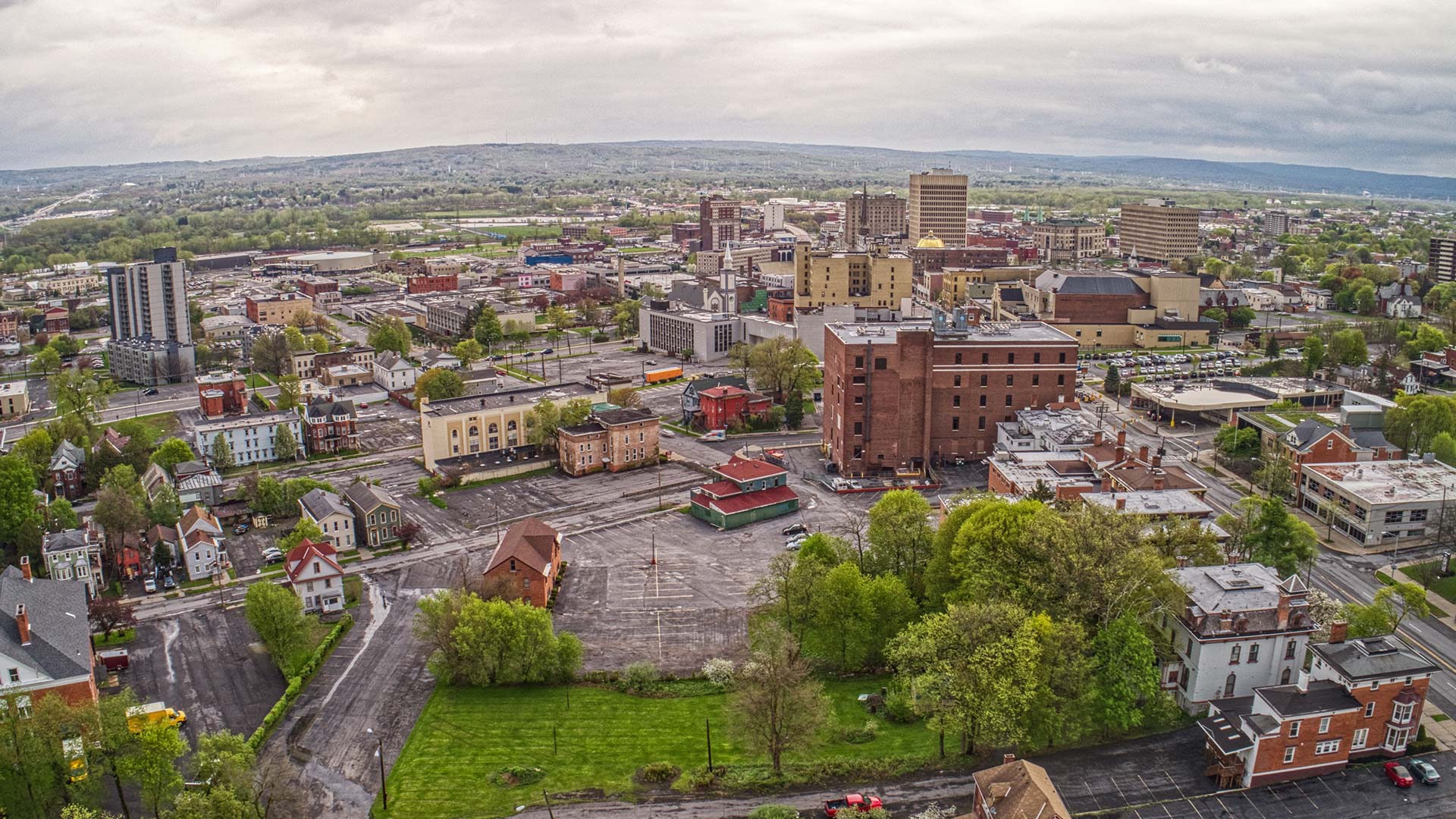
Penn State geodesign students took their GIS, environmental, and urban design skills and applied them to a real-life situation.

Make a map of the route of the Colonial Pipeline, which experienced a cyberattack this year, using ArcGIS Living Atlas of the World content.

Two Esri Press books highlight the GIS trailblazers among us, real and fictional.
This map shows which areas are a 10-minute walk or 10-minute drive from a grocery store in the United States and Puerto Rico.
Explore architectural projects in virtual reality (VR) using ArcGIS 360 VR, edit terrain, and import scenarios into Unreal Engine.
Jeff Shaner of Esri talks about the making of the new ArcGIS Field Maps app in the first episode of the Field Notes podcast.
Esri will continue to support and update all existing Landsat Level-1 image services in addition to publishing Landsat Level 2 image services.
High school and college students, along with individuals ages 18-24, are invited to enter the ArcGIS StoryMaps Challenge for Restoring Our Ocean.

Esri technology evangelist Bern Szukalski shows you how to customize the item gallery in your profile in ArcGIS Online.
Esri instructor Kevin Price shows how to create a thematic map within an Excel spreadsheet using ArcGIS Maps for Office.
Use the Crime Analysis solution in ArcGIS Pro to automate the process of importing crime data from systems of record to a GIS for analysis.
Esri will host Spatial Data Science: The New Frontier in Analytics, a massive open online course (MOOC) starting October 27, 2021.