We’re thrilled to announce the release of ArcGIS Flight, which brings powerful new capabilities to drone operators and GIS professionals alike. This update marks a major milestone in our support for enterprise-grade drone operations, with the introduction of two of the most requested DJI models: the Matrice 4 Enterprise (M4E) and Mavic 3 Enterprise (M3E).
With this release, ArcGIS Flight now supports the DJI Matrice 4E and Mavic 3E, enabling users to integrate these advanced platforms into their existing ArcGIS workflows. These drones are widely used in industries such as public safety, utilities, and environmental monitoring due to their high-resolution sensors, RTK capabilities, and robust flight performance.

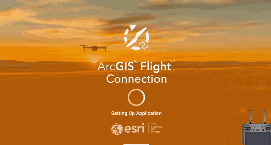
Introducing ArcGIS Flight Connection
Supporting these new drones required a fundamental shift in how ArcGIS Flight communicates with DJI hardware. Since DJI no longer supports an iOS SDK for these models, we developed ArcGIS Flight Connection—a lightweight Android app that acts as a communication bridge between the iPad-based ArcGIS Flight app and the M4E/M3E drone controller.
How it works: Install the ArcGIS Flight Connection APK on your drone controller. It securely brokers communication between the iPad and the drone, enabling full mission planning and execution from your iPad while leveraging the drone’s Android-based controller.
For a step-by-step setup guide, visit the how to connect to a drone documentation.
New Documentation Hub

With new drones and ways to connect, Esri is committed to educating all Flight app users and as of today we are excited to launch the ArcGIS Flight Documentation site. This new portal will serve as your source for all Flight app workflows and feature content.
Additional Enhancements
Here’s a full list of what’s new in ArcGIS Flight 5.2:
- Added support for DJI’s latest D-RTK 3 base station, enabling RTK-corrected flights for centimeter-level accuracy.
- Removed DJI No Fly Zone restrictions, drones will no longer be blocked from takeoff due to DJI flight restrictions
- Video flight logs have been enhanced to seamless integrated with ArcGIS full-motion video solutions.
- Increased the Sidelap and Overlap default percentages to 75% and 70% respectively to meet ArcGIS Reality data acquisition standards.
- Migrated LAANC authorization modules to Airspace Link v2. Airspace link provides critical digital infrastructure supporting the safe integration of drone’s operations into national airspace.
Stay Connected
Join the conversation and get support from fellow users and Esri staff on the https://community.esri.com/t5/arcgis-flight/ct-p/arcgis-flight


Commenting is not enabled for this article.