ArcGIS Blog

Data Management

What’s New in Basemaps (January 2018)

By Shane Matthews

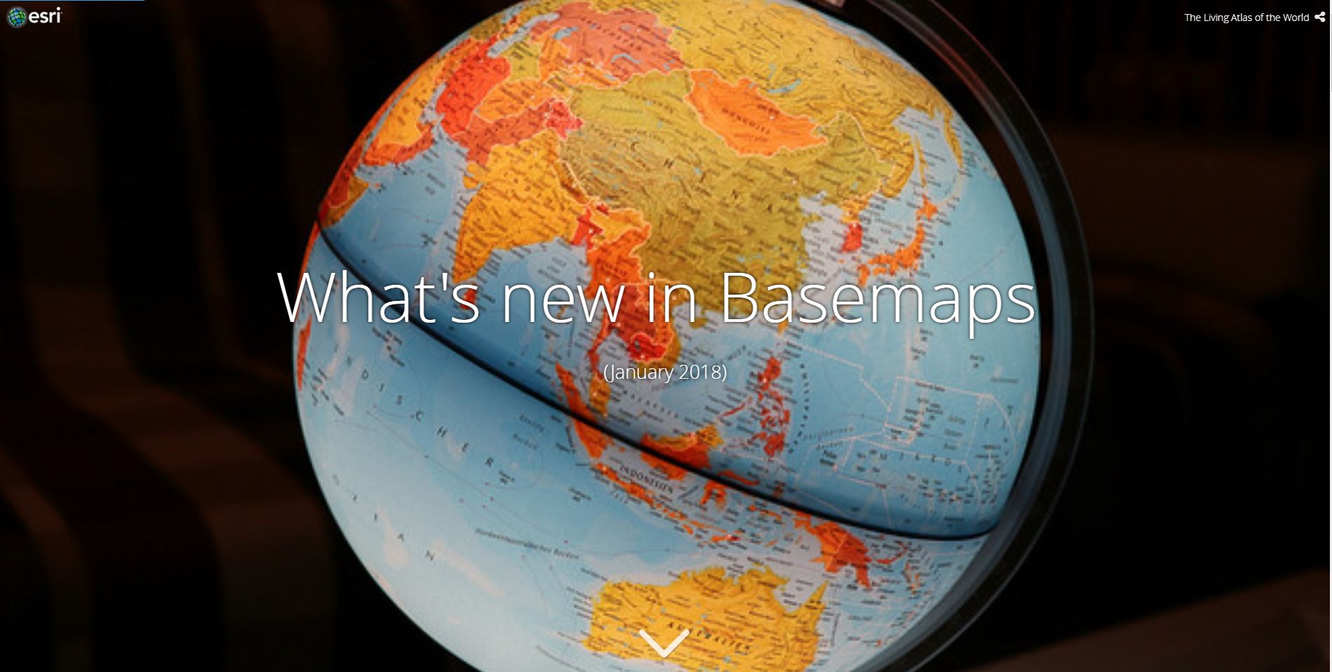
Esri’s Community Program contributors have added new and updated map layers to Esri’s Online Basemaps.

There is new and updated content for 62 communities. This release includes several states, counties, cities, facility sites, and protected areas throughout Canada, Czech Republic, France, Israel, Monaco, Slovakia, Sweden and the United States, as seen in this Story Map.

Follow us on Twitter: @LivingAtlas

How do I Use? Combine content from the Living Atlas with your own data. Create powerful new maps and applications!

How do I contribute? Join the growing community of Living Atlas of the World contributors. There are two ways to contribute!

Living Atlas Newsletter: This newsletter will keep you and other members of the Living Atlas user community informed through success stories, examples of applied use, visibility of new content, announcements about events, and other useful resources and information. Subscribe to the Esri News for the Living Atlas Community. You can have the newsletter sent right to your inbox by subscribing here.

If you have other feedback or comments, please post them to the Living Atlas Discussion Group on GeoNet.

If you have previously used any basemap service, you may need to clear your cache in order to see the updates.

Share this article

Subscribe
Notify of
0 Comments
Oldest
Newest
Inline Feedbacks
View all comments
Anthony Jones(@anthony-jones_rsk_epd-2-2-2-2)
December 6, 2024 5:23 am

Hi Zara,

You mention that “While still in beta, printing from custom layouts is free to use for all Professional and Professional Plus users. Once out of beta, there will be a credit charge associated with printing from these custom layout items.”. Will printing from custom layouts become available to other user types once the credit system is introduced? At the moment it’s fairly limited as I suspect most Professional/Plus users would likely use ArcGIS Pro for printing maps. Making this available to all other user types would be a big plus.

Thanks

Anthony

Stefan Thorn(@stefan-thornarcadis-com_arcadis)
March 18, 2025 2:12 pm

I wondering why you only can print as a Professional (Plus). With this user type you already have access to ArcGIS Pro and can print your layouts with Pro.

When publishing a layout as admin, the admin cannot test or has access to the layout via the print menu. Would be usefull that an admin have full rights to setup and test if everything works as expected.

Also wondering when it will be supported via the print widget?