Many Community Map Program contributors are using Feature Service submissions to update basemaps in ArcGIS Online for their communities. The service delivery workflow is designed to save your organization time when sharing map layers, so you can build the basemap for your community, campus, and special areas of interest with detailed large-scale features much more easily. Organizations can contribute service data that is hosted by ArcGIS Online (i.e. a Hosted Feature Service), or created and managed by ArcGIS Server.
What are Hosted Feature Services? You can publish your maps and data as hosted layers to ArcGIS Online. When you do this, ArcGIS Online takes care of hosting your layers and the data that populates them. Hence, these are called hosted layers. Web, desktop, and mobile apps can access your ArcGIS Online hosted layers from anywhere on the Internet if you choose to allow it. Read More >
The Community Maps program requires either a public-facing feature service available from an organization’s ArcGIS Online Login, or public-facing feature services from an Esri ArcGIS Server.
Tip: Use ArcGIS Online Semi-Private Sharing if Public Sharing is a concern. Your organization can share through an ArcGIS Online Group, which is a nice alternative to publicly-sharing a service. This is a unique capability for Hosted Services and it is not available to services published from ArcGIS Server. Learn more about this type of sharing here. There are also specific Tips and Tricks for providing service data to the Community Maps Program here
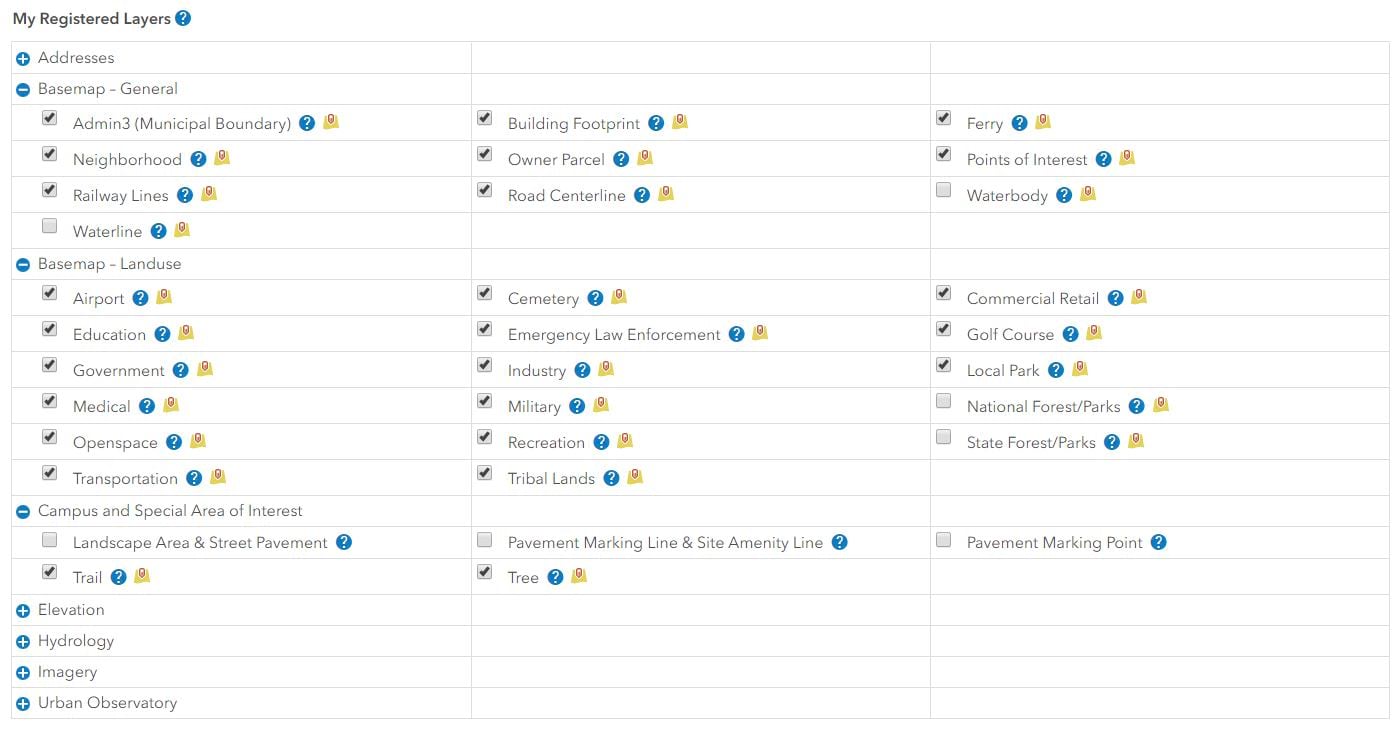
Which map layers support the service delivery workflow? You can explore the map layers that are supported by service deliveries by logging in to your Community Maps account and viewing the ‘My Registered Layers’ list under the ‘My Account’ tab. Yellow icons indicate map layers supported by service deliveries.
Why Service Deliveries?
Service Deliveries are meant to simplify. There is no need to run the data prep tools required for File Geodatabase submissions.
Managing Your Service Subscriptions. Your organization has the flexibility to edit service subscriptions. Service layers can quickly be added and/or removed from your subscription. Contributors can optimize their next delivery and even share updates before the next scheduled service pull date.
The short segment video below demonstrates how to effectively manage your service deliveries.
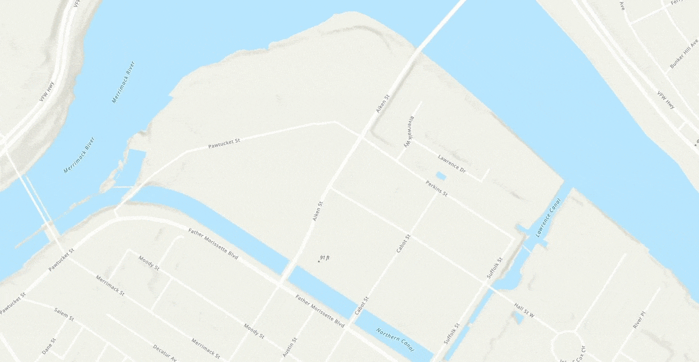
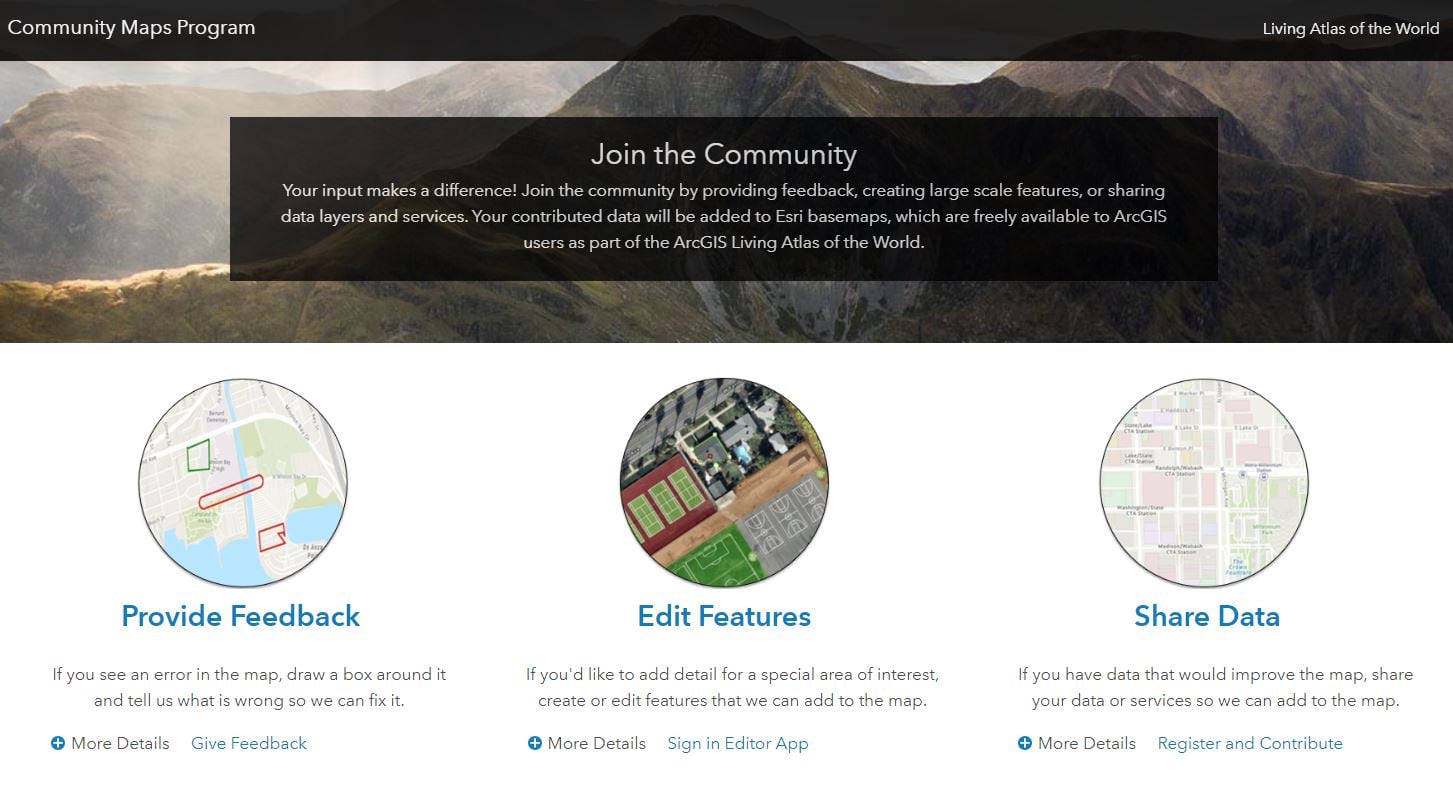
The Community Maps Program works with authoritative GIS data contributions to build a suite of high-performance ready-to-use online basemaps. It consists of reference and thematic maps covering a wide variety of topics. Join the Community! You can provide feedback, create large scale features, and share data layers and services. Your contributed data will be added to Esri basemaps, which are freely available to ArcGIS users as part of the ArcGIS Living Atlas of the World.
Click the image below to get started!


Commenting is not enabled for this article.