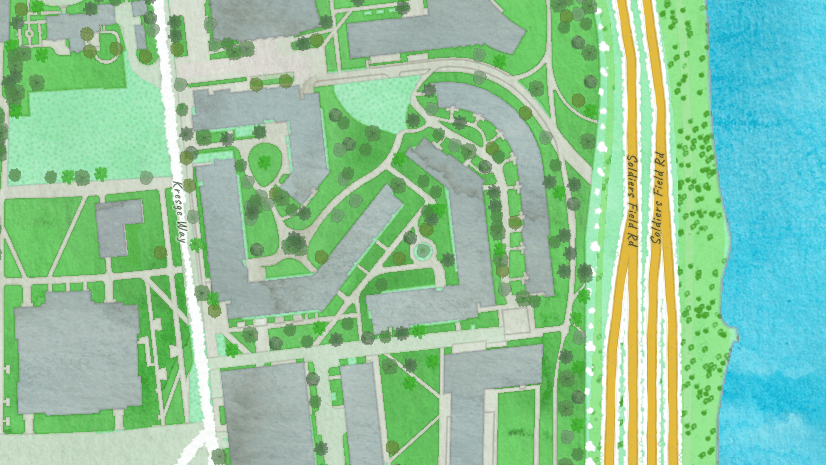
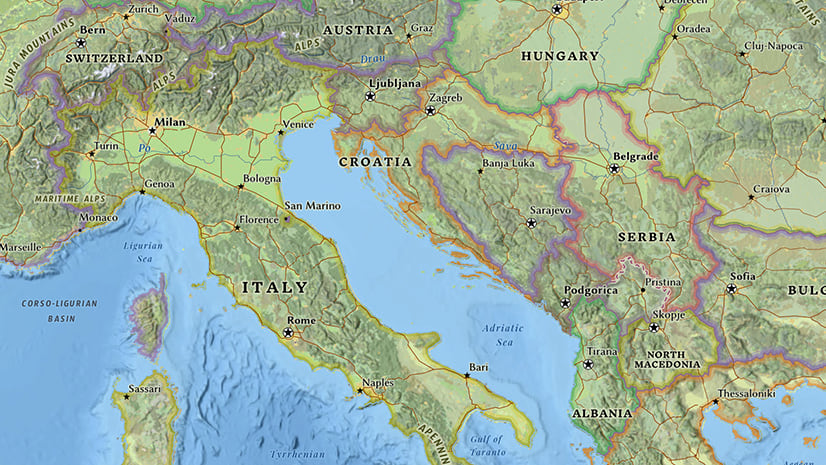
As the month of June came to a close, we updated our Esri Vector Basemaps tile set. New content was contributed from our commercial, community, and open source data providers. Additionally, three new styles were released: Navigation (Dark Mode), National Geographic Style, and Watercolour. The latter two are described in more detail in their own blogs posted by the cartographer who designed the maps. First,Wes Jones shares info on Watercolour. Next up, Andy Skinner shares info on National Geographic Style.

Navigation (Dark Mode)
The newly released Navigation (Dark Mode) is a counterpart to our existing Navigation style vector basemaps. The dark mode map was built with the Esri Tracker App in mind. This provides a basemap for low-light conditions and emphasizing the purpose of the app: asset location tracking. It can also be used in other situations where you want to symbolize your own content on a darker background. This Navigation (Dark Mode) joins our three other dark-focused designs: Streets (Night), Dark Gray Canvas, and Human Geography Dark. Each of these Esri Vector Basemaps have their own unique styling and content specs. They also have their own daytime or lighter-style counterpart.
Our OpenStreetMap vector tile set was updated, too. It is built from the Esri-maintained OSM replica database. Two other OSM-based styles are now available. See this separate blog.

Vector Tile Style Editor
The Esri Vector Tile Style Editor is coming out of Beta. It is available on this Developer site to restyle vector basemaps. With the latest ArcGIS Online update, the vector style editor is accessible from within the Map Viewer of ArcGIS.com. Launch the app from the icon under a vector layer. See image at left. Do a Quick Edit restyling (one click gets you a completely restyled map) or change more parameters using the in-depth Style by Layer. Your options to redesign the a map are essentially unlimited.

WGS84/GCS
We’ve expanded our collection of vector basemap styles for those users wanting the WGS84/GCS tiling scheme. The vector maps that utilize a raster base layer (e.g. Imagery Hybrid (WGS84)) are ready-to-use. Web maps include the correct base layers.

Community Maps
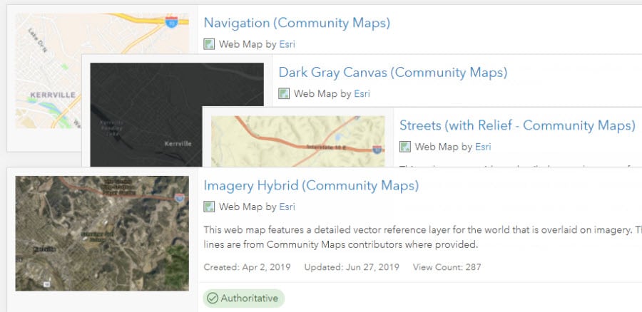
The last topic of new updates related to Esri vector basemaps this release. We now offer users this collection called Esri Vector Basemaps (Community Maps). We heard your requests. Include *ALL* the data that communities are providing through the Community Maps Program. This includes community roads and administrative boundary lines. The maps in this group do just that! Now, this version of vector basemap styles: Street, Navigation, Canvas, etc. present the community content — without users saving their own json styles. We’ve done it for you. All these maps include “(Community Maps)” in their title.
Esri Vector Basemaps: Feedback
Ever see a problem with Esri Vector Basemap data or display? Report issues directly on this Feedback Map. As a result, our team reviews your comments and considers the update for one of our frequent releases.
GeoNet: the Esri community
Visit the ArcGIS Living Atlas of the World product page on GeoNet. Ask questions, share updates and custom styles, and browse this space for the content you need!

Stop by say, “Hi!” at this year’s User Conference
Finally, if you’re in San Diego for the 2019 Esri User Conference, stop at the Living Atlas Basemaps kiosk. We’re in the Data & Location Services area of the expo. Get your questions answered from the team of cartographers making the maps. Or just stop by to say, “Hi!”, because we’ll have buttons and stickers to collect. For a selection of Tech Workshops and Demo Theater topics, use keyword vector basemaps in the searchable online UC agenda. Session topics range from adding your data via the Community Maps Editor app to contributing larger amounts of content through the Community Maps Program. Learn best practices for building you own vector tiles in addition to how to find the best basemap for your use. For you creative types, learn how to restyle ready-made vector basemaps from the Living Atlas. There is so much to explore!


Commenting is not enabled for this article.