displaying
Use # to search tags and @ for authors

By Multiple Authors | ArcGIS Online |
List of new functionality for ArcGIS Image for ArcGIS Online in February 2024, including new raster tools and functions in map viewer.

By Yohann Louis | ArcGIS Enterprise |
Collaborate between ArcGIS Enterprise, ArcGIS Online and ArcGIS Field Maps
By Jeff Swain | ArcGIS Online |
Raster analysis is now available in ArcGIS Online in the Map Viewer and there are some tips that will help you get the most out of it.

By Jeff Swain | ArcGIS Online |
List of new functionality for ArcGIS Image for ArcGIS Online in Oct 2023, including new raster tools and functions in map viewer.

By Multiple Authors | ArcGIS Online |
Understand the differences between ArcGIS Enterprise and ArcGIS Online and how they work together.
By Multiple Authors | ArcGIS |
ArcGIS Image for ArcGIS Online allows you to host multidimensional imagery for visualization or analysis through out your organization.

By Janine Barrett | ArcGIS Workflow Manager |
ArcGIS Workflow Manager is now available for managing work in a cloud-based environment.
By Multiple Authors | ArcGIS Online |
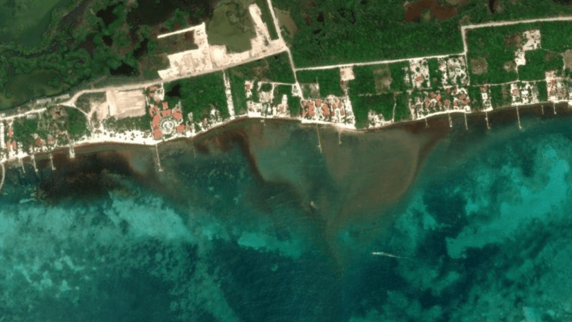
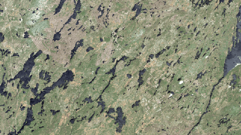
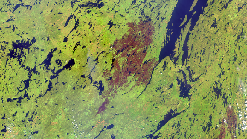
Landsat imagery provides a great way to assess damage to regions from wildfires and ArcGIS Online is a great way to view the damage over time.
By Jeff Swain | ArcGIS Image for ArcGIS Online |
List of new functionality for ArcGIS Image for ArcGIS Online in June 2023, including raster functions in map viewer.

By Hannah Pye | ArcGIS Online |
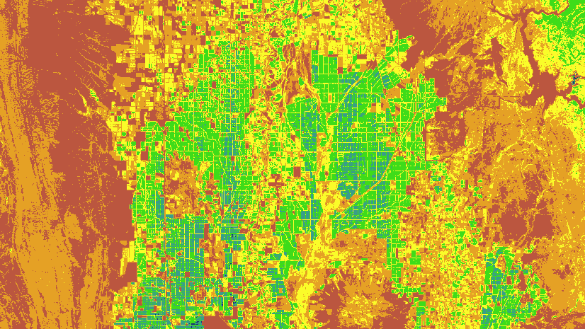
Learn how to use H3 hexagons for spatial analysis using the Generate Tessellations tool in Map Viewer.