displaying
Use # to search tags and @ for authors
By Michael Dangermond | ArcGIS Pro |
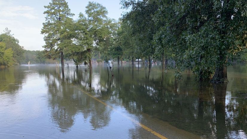
Learn how to use raster functions in ArcGIS Pro and definition queries to calculate the difference between two dates in a time enabled layer.
By Daniel Siegel | ArcGIS Living Atlas |
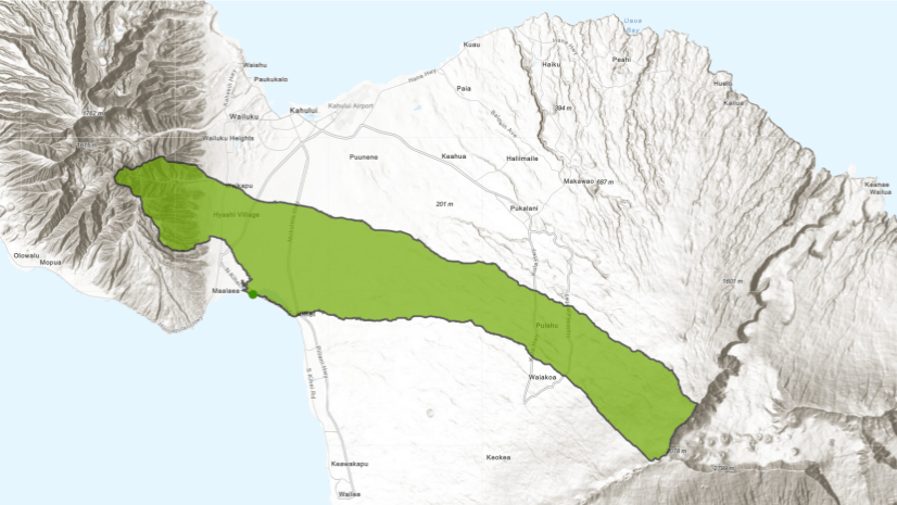
A new, 10-meter resolution DEM enables watershed delineation and downstream trace in overseas U.S. territories and the Hawaiian islands.

By Daniel Siegel | ArcGIS Living Atlas |
Just because you can’t see evapotranspiration doesn’t mean you can’t map it. In fact, the Living Atlas of the World has long contai...

By Sarmistha Chatterjee | ArcGIS Pro |
Check out the new ArcGIS Lesson on Predict Floods with Unit Hydrographs to create a unit hydrograph for a small to medium sized watershed...
By Caitlin Scopel | ArcGIS Living Atlas |
Due to increased demand for access and stability, the Esri Hydro Reference Overlay is now served as a hosted tile layer on ArcGIS Online....
By Caitlin Scopel | ArcGIS Living Atlas |
Register here Water touches nearly every aspect of our lives on planet earth. From the water we drink, to the air we breathe, to the lan...
By Caitlin Scopel | ArcGIS Living Atlas |
Download the ArcGIS 10.2.1 & 10.2.2 for Desktop Hydrology Tools Ready-to-use-Services Patch. The Ready-to-use Services in ArcGIS Onli...
By Caitlin Scopel | ArcGIS Living Atlas |
The Esri Hydro Team is pleased to announce it has added more data layers to the Living Atlas. USA Polluted Waters (Source: EPA 303d) U...

By Jian Lange | ArcGIS Online |
Elevation analysis services, hosted by ArcGIS Online, are a new option for performing analyses that require elevation and hydrologic data...

By Caitlin Scopel |
By Patrick Bergeron, postdoctoral fellow, INSPQ and Univerisité de Sherbrooke, Canada. Temporal floodplain delineation is an importan...