displaying
Use # to search tags and @ for authors
By Asaf Even Paz | ArcGIS |
Esri's technology, integrating GIS and image processing, bridges the gap between GIS and Remote Sensing students.
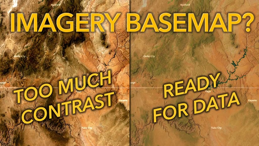
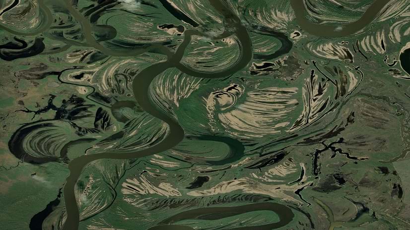
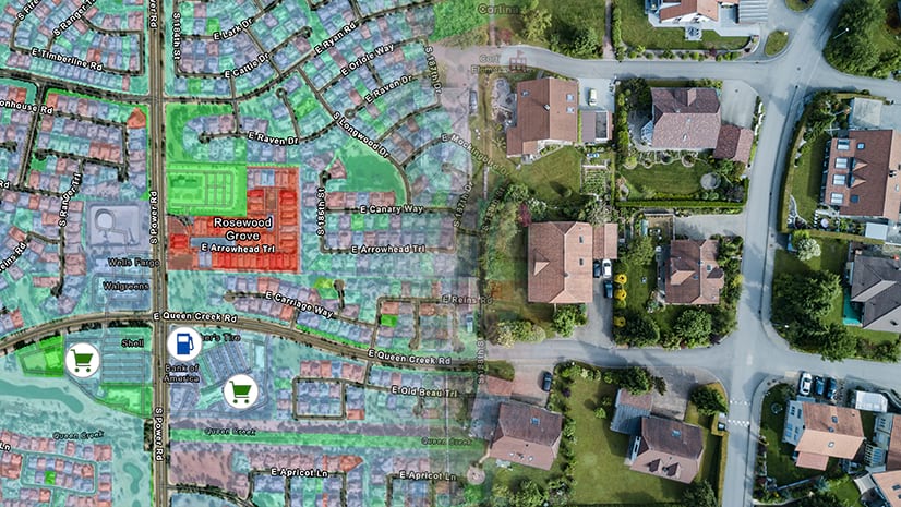
By John Nelson | ArcGIS Living Atlas |
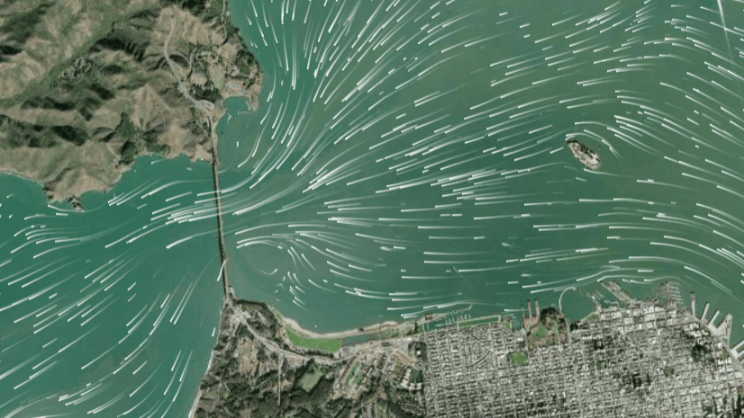
Imagery basemaps are lovely and provide unparalleled context. But that detail can be troublesome.

By Multiple Authors | ArcGIS Drone2Map |
How to properly set up an ArcGIS Drone2Map project to ensure you are getting the most out of your RTK drone imagery.
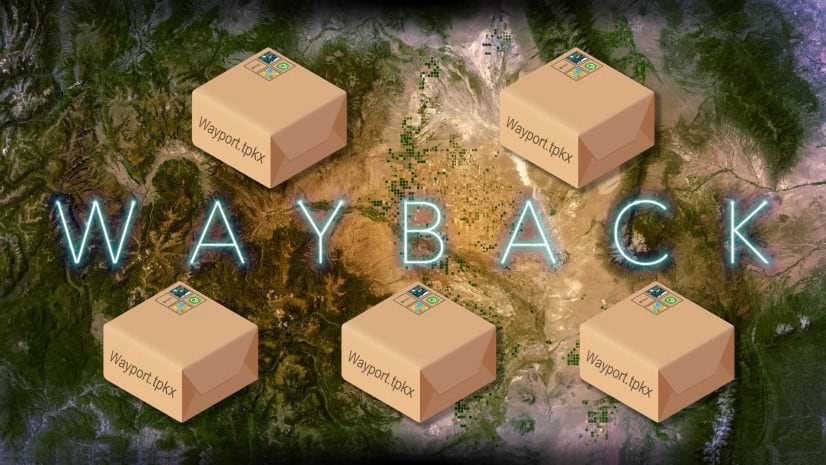
By Robert Waterman | ArcGIS Living Atlas |
The World Imagery Wayback app in ArcGIS Living Atlas is now delivering packages, tile packages that is.
By Jeff Swain | ArcGIS |
List of imagery source links to host your own imagery layers in ArcGIS Image for ArcGIS Online.
By Maxwell DeBella | ArcGIS Online |
With the fall 2023 release, ArcGIS Online's Map Viewer now supports Save, Save As, and Duplicate for tiled imagery and imagery layers.
By Multiple Authors | ArcGIS |
ArcGIS Image for ArcGIS Online allows you to host multidimensional imagery for visualization or analysis through out your organization.
By Madde Voas | ArcGIS |
Explore new content on the ArcGIS Imagery Workflows website, which provides a jumping off point for accomplishing imagery tasks using ArcGIS.
By Multiple Authors | ArcGIS Online |
ArcGIS Image for ArcGIS Online allows you to host satellite imagery for visualization or analysis through out your organization.
By Chad Lopez | ArcGIS |
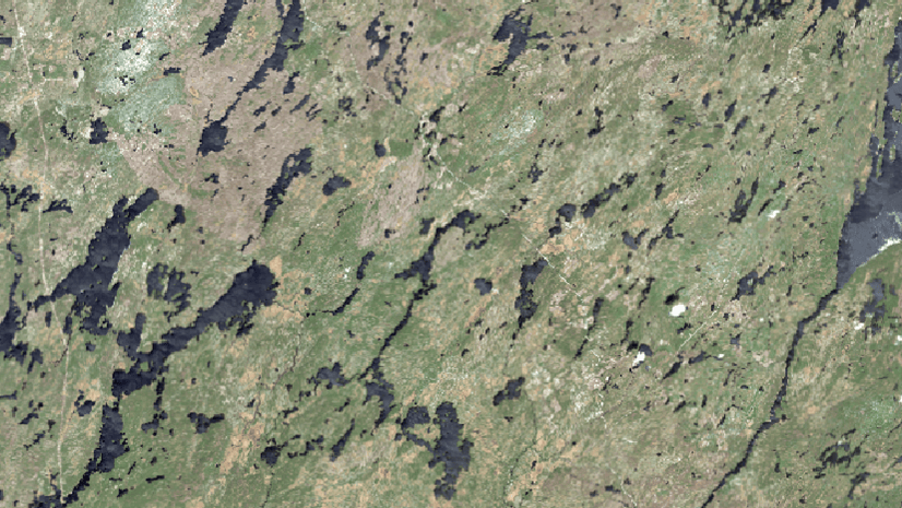
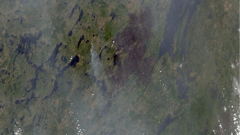
ArcGIS allows you to combine imagery and demographic data to help monitor issues that arise with rapid urban growth.