displaying
Use # to search tags and @ for authors

By John Nelson | ArcGIS Living Atlas |
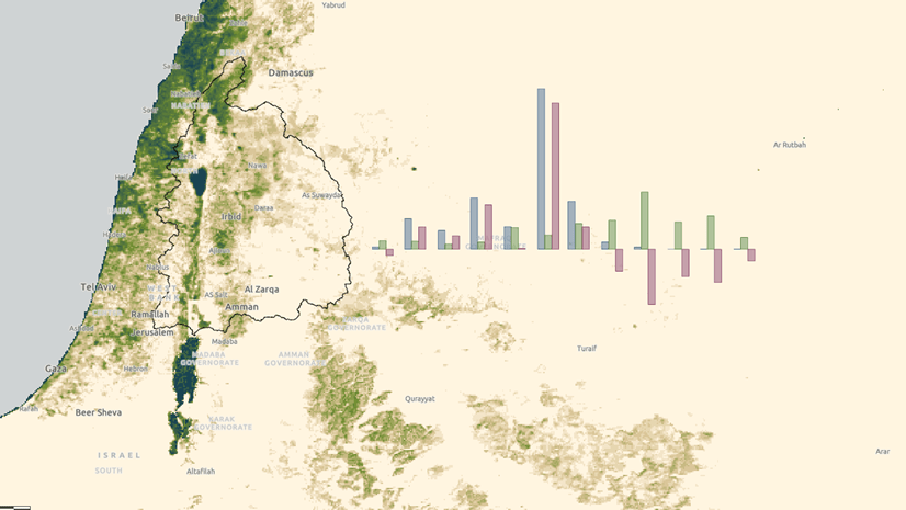
Finding high res, recent, water polygons can be a challenge. Here's how you can use Sentinel-2 Land Cover imagery for your vector maps.
By Gonzalo Espinoza | ArcGIS Pro |
Leveraging Living Atlas image services to support water resources management
By Caitlin Scopel | ArcMap |
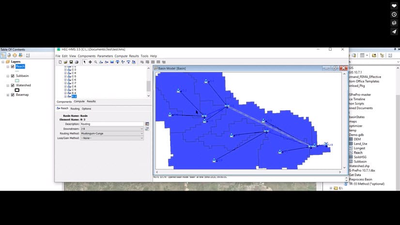
HMS-PrePro is an ArcGIS preprocessing tool that was designed to improve GIS-based watershed modeling.
By Christa Campbell |
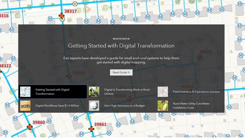
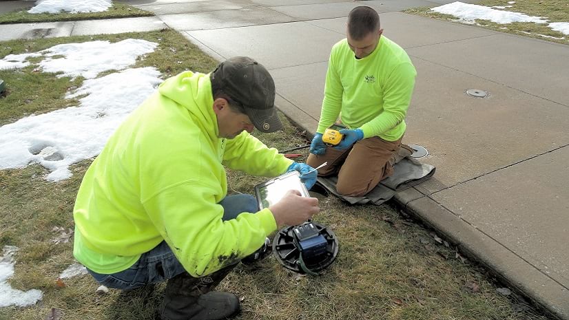
Advances in technology allow digital mapping to be readily deployed at small utilities and improve the efficiency of workflows.
By Christa Campbell | ArcGIS Collector |
ArcGIS supports daily workflows, enabling information sharing, improving efficiencies across an organization resulting in saved time and money.

By Daniel Siegel | ArcGIS Living Atlas |
Just because you can’t see evapotranspiration doesn’t mean you can’t map it. In fact, the Living Atlas of the World has long contai...

By Caitlin Scopel |
If you missed the Water Resources Annual meeting on Sunday, July 7, 2013 (GIS Hydro 2013 Sunday Preconference Seminar), you're in luck!...
By Caitlin Scopel |
by Amit Sinha, Esri, Inc. Stormwater is the water that runs off property when it rains. When stormwater flows across driveways, parking ...
By Caitlin Scopel |
by Christa Campbell and Caitlin Scopel, Esri It was another great year in San Diego! The two-day preconference Water/Wastewater and Wat...
By Caitlin Scopel |
by Nahm Lee, Santa Clara Valley Water District The Santa Clara Valley Water District Alert web map was designed using the ESRI javas...