Charlie Frye
Connect:

I am Chief Cartographer at Esri, and manage the Cartographic Projects Group on the Content Team. I have been with Esri in Software Products since 1994. I am currently the author of Esri's Ecological Land Unit services, global ecological content, and the World Population Estimate Services. Contact me at cfrye@esri.com with questions or feedback.
Posts by this author
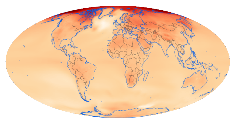
Are We Getting Warmer? – See for yourself

We are pleased to announce and welcome you to try a new Learn.ArcGIS.com lesson called Explore Future Climate Projections.

Continue Reading

2016 World Population Estimate Services are now Available

We are pleased to announce the availability of an update to the World Population Estimate layers. World Population Estimate 2016 World ...

Continue Reading

World Land Cover 2010 from ESA now available in the Living Atlas

Several weeks ago, we added the World Land Cover 2010 ESA layer to the Living Atlas. This layer’s data is from the 2010 epoch of the Eu...

Continue Reading

New Global Layers for Local Relief and Landforms added to the Living Atlas

The number of global landscape layers in the Living Atlas of the World has grown significantly in the past year. This summer we added and...

Continue Reading

MDA's BaseVue 2013 Global Land Cover available on ArcGIS Online

Esri's Landscape Content Team is pleased to announce MDA's BaseVue 2013 land cover data is available in the Living Atlas and as premium c...

Continue Reading

Historic Conservation and Preservation web map templates

By Charlie Frye, Esri Chief Cartographer Two new map templates are now available in ArcGIS Online. Both support creating services and ...

Continue Reading

Introducing the 2010 User Conference web map and routing app

By Charlie Frye, Esri Chief Cartographer We are pleased to introduce the 2010 UC Web Map and Routing Application. This map is designed...

Continue Reading

Symbolizing the hillshade for the World Topographic map

Our symbolization of the hillshade is one of the design characteristics that most distinguishes this map.

Continue Reading

Historical GIS template: Boston 1775

By Charlie Frye, Esri Chief Cartographer This post, is to announce the release of a map template for historical GIS called Historical ...

Continue Reading

1 2 3 4 5