Dan Pisut
Connect:

Dan leads development of ArcGIS Living Atlas of the World environmental content, which includes information about Earth's land, ocean, atmosphere, and ecosystems. Prior to Esri, Dan worked at NOAA for two decades, leading data visualization efforts for research, communications, and education.
Posts by this author
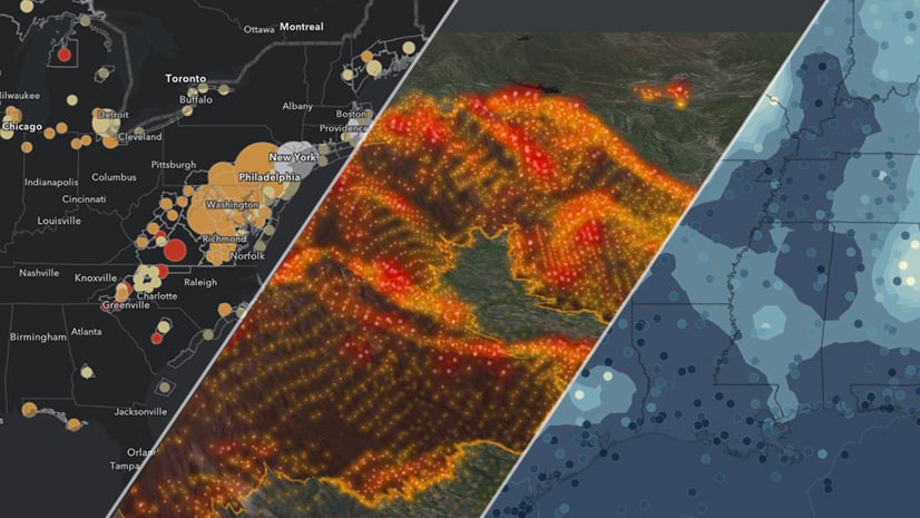
Mapping High Winds and Wildfires

Wind and wildfire information from ArcGIS Living Atlas of the World simplifies tracking the extreme fire conditions in California.

Continue Reading

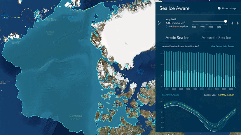
Use the Sea Ice Aware App to Monitor Conditions in the Poles

Gain knowledge of changes in the Arctic and Antarctic with a series of maps and graphs using authoritative sea ice information.

Continue Reading

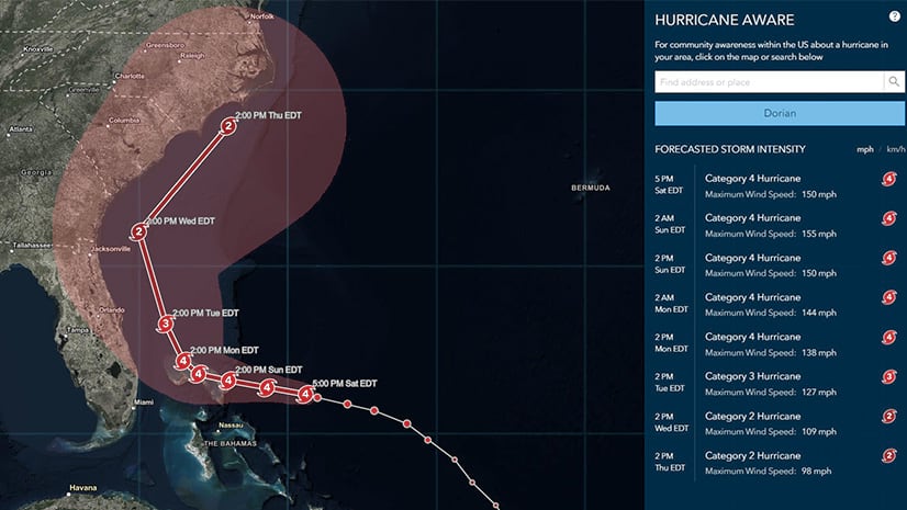
Understand Hurricane Forecasts and Impacts with the Hurricane Aware Application

The Hurricane Aware app provides the latest storm track and forecast along with localized weather and demographic impact analysis for the U.S.

Continue Reading

Build a Heat Index Map in 5 Minutes

Use real-time weather data from NOAA and ArcGIS Living Atlas of the World to display the status of heatwaves around the world.

Continue Reading

USGS Releases New Maps of Protected Areas in the United States

A series of maps provide simplified access to detailed analyses of the protected areas of the United States via Living Atlas.

Continue Reading

New Live Feeds Weather Data Goes Live

Many of the weather and disaster layers in ArcGIS Living Atlas have been updated with improved versions that leverage hosted feature services.

Continue Reading

Mapping Two Decades of Landcover Change in the U.S.

An improved version of the NLCD is now available in the Living Atlas, providing the ability to map and analyze land use patterns since 2001.

Continue Reading

Monitor Coral Bleaching Around the World in Real-Time

New data and apps from the Living Atlas and NOAA provide updated information on coral bleaching conditions around the world.

Continue Reading

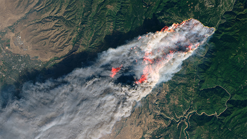
Is the Risk of Wildfire Increasing Where You Live?

Updates to the USA Wildfire Hazard Potential show the most recent analysis from 2018.

Continue Reading

1 2 3 4 5