Dan Pisut
Connect:

Dan leads development of ArcGIS Living Atlas of the World environmental content, which includes information about Earth's land, ocean, atmosphere, and ecosystems. Prior to Esri, Dan worked at NOAA for two decades, leading data visualization efforts for research, communications, and education.
Posts by this author
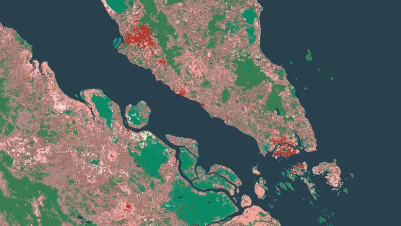
Look into the Future: Global Land Cover for the Year 2050

New layers from Clark Labs show predicted land cover use type in the year 2050.

Continue Reading

A global sustainability report card

The 2020 Environmental Performance Index (EPI) is now available in ArcGIS Living Atlas.

Continue Reading

Improve Your Wildfire Maps with These New Layers

The USA Current Wildfires layers in Living Atlas provide an upgrade from the GeoMAC services that were retired by the USGS.

Continue Reading

A Breath of Fresh Air

Keep track of global air quality with this new layer from OpenAQ in ArcGIS Living Atlas of the World

Continue Reading

Take Your Work To Kids Day, Challenge 4: Adventure Awaits

Start planning your next family trips with an interactive map in ArcGIS Online.

Continue Reading

Three Decades of Global Land Cover Change

Maps of global land cover changes from 1992-2018 are now available in ArcGIS Living Atlas of the World.

Continue Reading

Take Your Work To Kids Day, Challenge 2: A Forest of Color

Build your own map of tree species across the United States. You pick the story. You pick the colors.

Continue Reading

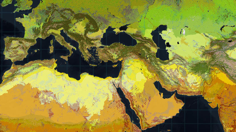
A New Map of World Terrestrial Ecosystems

Mapping global ecosystems with unprecedented detail provides a more usable solution for ecological land management and conservation.

Continue Reading

Top 5 Winter Weather Maps

Don't get stuck out in the cold without your mittens. These maps from the National Weather Service will keep you winter-ready.

Continue Reading

1 2 3 4 5