John Nelson
Connect:

I have far too much fun looking for ways to understand and present data visually, hopefully driving product strategy and engaging users. I work in the ArcGIS Living Atlas team at Esri, pushing and pulling data in all sorts of absurd ways and then sharing the process. I also design user experiences for maps and apps. When I'm not doing those things, I'm chasing around toddlers and wrangling chickens, and generally getting into other ad-hoc adventures. Life is good. You might also like these Styles for ArcGIS Pro: esriurl.com/nelsonstyles
Posts by this author
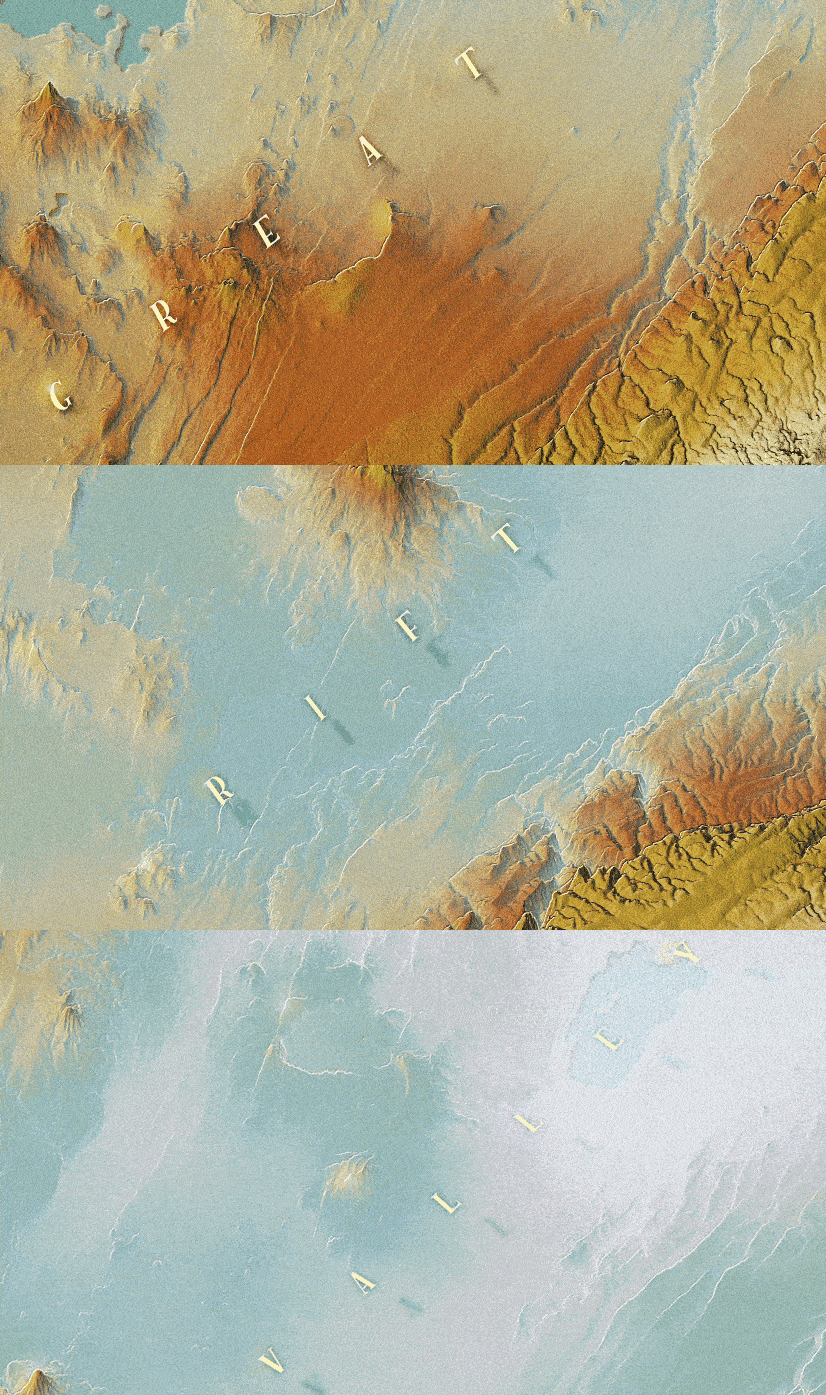
How to make this map of the Rift Valley

ArcGIS Pro, some Plan Oblique magic, and some blend modes all shaken up, and out pours a bumpy slice of Earth

Continue Reading

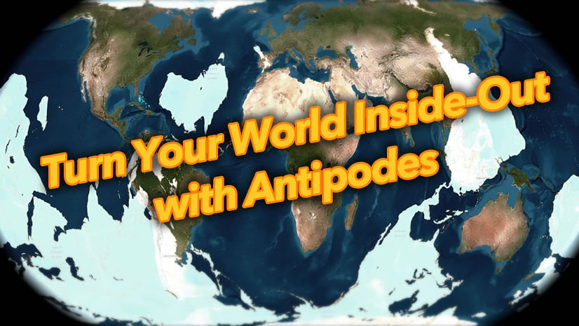
Turn your world inside-out with antipodes

What's an "antipode" and how can you hack one together in ArcGIS Pro?

Continue Reading

Styling OpenStreetMap data with Arcade in ArcGIS Pro

Understanding the structure of OSM and how to style it with efficient Arcade workflows.

Continue Reading

The Emperor Seamounts

A weird sort of how-to regarding this map of an undersea mountain chain.

Continue Reading

Make a Vintage Forestry Map 3D using Modern Forestry Data

How to make the 3D vintage forestry map in chapter 4 of GIS for Science Volume 3.

Continue Reading

How to make this seafloor map

This is a bathymetric map made for a chapter in GIS for Science Volume 3. Here are all the salty details of its making.

Continue Reading

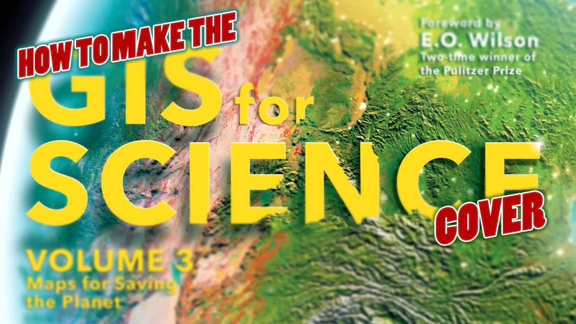
How to make the map on the cover of GIS for Science volume 3

That crazy globe on the cover of GIS for Science v3 is fun and easy to make. Here's a whirlwind...

Continue Reading

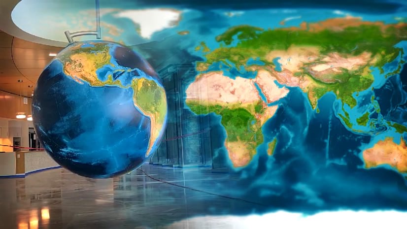
It’s a giant globe!

When it comes to globes, it's hard to go too big.

Continue Reading

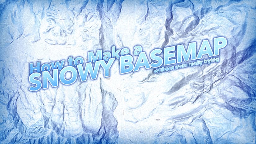
How to make a snowy ArcGIS Online map without even really trying

Want a nice pillowy winter wonderland sort of map? Goodness sakes is it fun and easy...

Continue Reading

1 9 10 11 12 13 37