John Nelson
Connect:

I have far too much fun looking for ways to understand and present data visually, hopefully driving product strategy and engaging users. I work in the ArcGIS Living Atlas team at Esri, pushing and pulling data in all sorts of absurd ways and then sharing the process. I also design user experiences for maps and apps. When I'm not doing those things, I'm chasing around toddlers and wrangling chickens, and generally getting into other ad-hoc adventures. Life is good. You might also like these Styles for ArcGIS Pro: esriurl.com/nelsonstyles

Posts by this author
Layout sandwich

How to make a layout sandwich with two synchronized map views, some masking, and some mischief.

Continue Reading

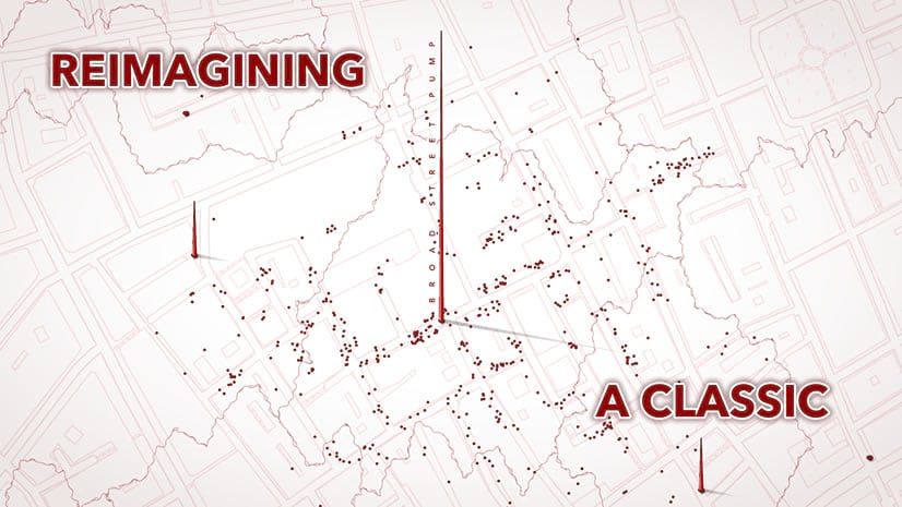
John Snow’s cholera map reimagined

A re-making of the classic map that launched epidemiology. Thoughts, and methods, for visually linking two phenomena.

Continue Reading

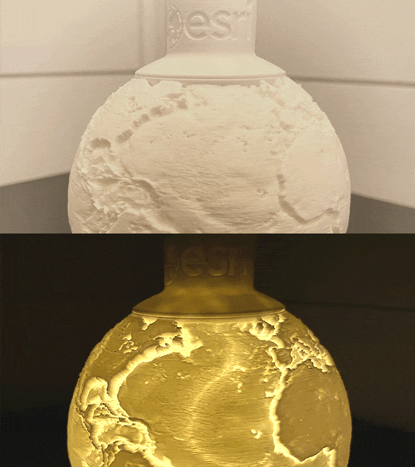
Make this 3D printed globe please

It's that time of year to warm ourselves beside the electric hum of a plastic filament printer and fall into the joy of making.

Continue Reading

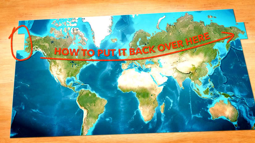
How to reattach land that spills over the International Dateline

Ah, that cartographic conundrum of Siberia reaching over to peak out of the left side of a world map...

Continue Reading

Imagery basemap ready for data

Imagery basemaps are lovely and provide unparalleled context. But that detail can be troublesome.

Continue Reading

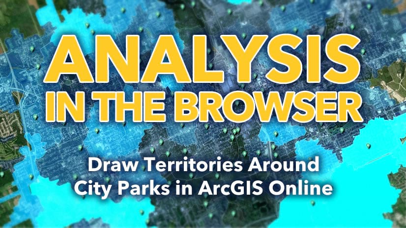
Analysis in the browser: How to draw walkable territories around city parks in ArcGIS Online

So many geoprocessing tools in ArcGIS Online's Map Viewer. Here are but a couple of them.

Continue Reading

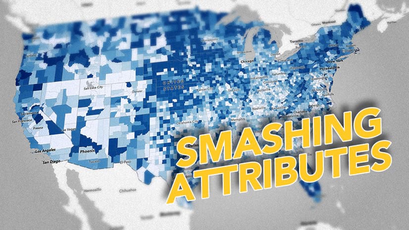
Smashing attributes together for convenient mapping

Here's how to create a virtual field, based on a combination of fields you already have. And stuff.

Continue Reading

How to cover up coastal artifacts in mosaiced imagery

Sometimes mosaiced imagery over water can have undesirable seam artifacts or gaps. Here's one way to make that water look snazzy.

Continue Reading

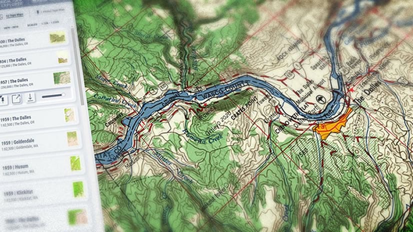
Historical Topo Map Explorer (beta)

The USGS Historical Topographic Map Explorer is getting an update. Here's an introduction to the beta release.

Continue Reading

1 2 3 4 37